118934 S 4100 Rd Eufaula, OK 74432
Estimated Value: $18,107
Studio
--
Bath
--
Sq Ft
127,631
Sq Ft Lot
About This Home
This home is located at 118934 S 4100 Rd, Eufaula, OK 74432 and is currently estimated at $18,107. 118934 S 4100 Rd is a home located in McIntosh County with nearby schools including Eufaula Elementary School, Eufaula Middle School, and Eufaula High School.
Ownership History
Date
Name
Owned For
Owner Type
Purchase Details
Closed on
Mar 4, 2025
Sold by
Helms Dylan and Helms Sheradon
Bought by
Deckard Brody R
Current Estimated Value
Purchase Details
Closed on
Sep 26, 2023
Sold by
4G Operating Llc
Bought by
Helms Dylan and Helms Sheradon
Purchase Details
Closed on
Jan 1, 2021
Sold by
Redbud E & P Inc
Bought by
4G Operating Llc
Purchase Details
Closed on
Feb 8, 2013
Sold by
Mahalo Energy Inc
Bought by
Redbud E & P Inc
Purchase Details
Closed on
Jan 14, 2005
Sold by
Scott Bill and Scott Linda
Bought by
Citrus Energy Corp
Purchase Details
Closed on
Apr 18, 2000
Sold by
Fisher Ranching Trust
Bought by
Scott
Create a Home Valuation Report for This Property
The Home Valuation Report is an in-depth analysis detailing your home's value as well as a comparison with similar homes in the area
Purchase History
| Date | Buyer | Sale Price | Title Company |
|---|---|---|---|
| Deckard Brody R | $30,000 | Eufaula Abstract & Title | |
| Deckard Brody R | $30,000 | Eufaula Abstract & Title | |
| Helms Dylan | $18,000 | Eufaula Abstract & Title | |
| 4G Operating Llc | $8,000 | None Available | |
| Redbud E & P Inc | -- | None Available | |
| Citrus Energy Corp | -- | None Available | |
| Scott | $10,000 | -- |
Source: Public Records
Tax History
| Year | Tax Paid | Tax Assessment Tax Assessment Total Assessment is a certain percentage of the fair market value that is determined by local assessors to be the total taxable value of land and additions on the property. | Land | Improvement |
|---|---|---|---|---|
| 2025 | $343 | $3,922 | $2,798 | $1,124 |
| 2024 | $340 | $3,886 | $2,798 | $1,088 |
| 2023 | $340 | $5,647 | $2,798 | $2,849 |
| 2022 | $468 | $5,647 | $2,798 | $2,849 |
| 2021 | $474 | $5,647 | $2,798 | $2,849 |
| 2020 | $474 | $5,647 | $2,798 | $2,849 |
| 2019 | $478 | $5,647 | $2,798 | $2,849 |
| 2018 | $470 | $5,647 | $2,798 | $2,849 |
| 2017 | $470 | $5,647 | $2,798 | $2,849 |
| 2016 | $473 | $5,647 | $2,798 | $2,849 |
| 2015 | $466 | $5,647 | $2,798 | $2,849 |
| 2014 | $463 | $5,647 | $2,798 | $2,849 |
Source: Public Records
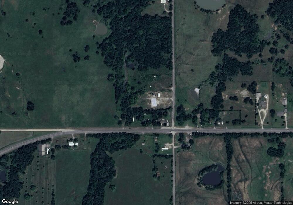
Map
Nearby Homes
- 118934 S 4102 Rd
- 409973 Oklahoma 9
- 409906 Highway 9
- 6212 S Kelley Ave
- 410059 Hwy 9
- 410059 Highway 9
- 118756 S 4100 Rd
- 20 Hc 63
- 118653 S 4100 Rd
- 409771 Highway 9
- 409340 E1190 Rd
- 410363 Highway 9
- 410024 Highway 9
- 113C Hc 63
- 105 Hc 63
- 105 Hc 63
- 119543 S 4100 Rd
- 410025 E 1196 Rd
- 410077 E 1196 Rd
- 409428 Highway 9
Your Personal Tour Guide
Ask me questions while you tour the home.