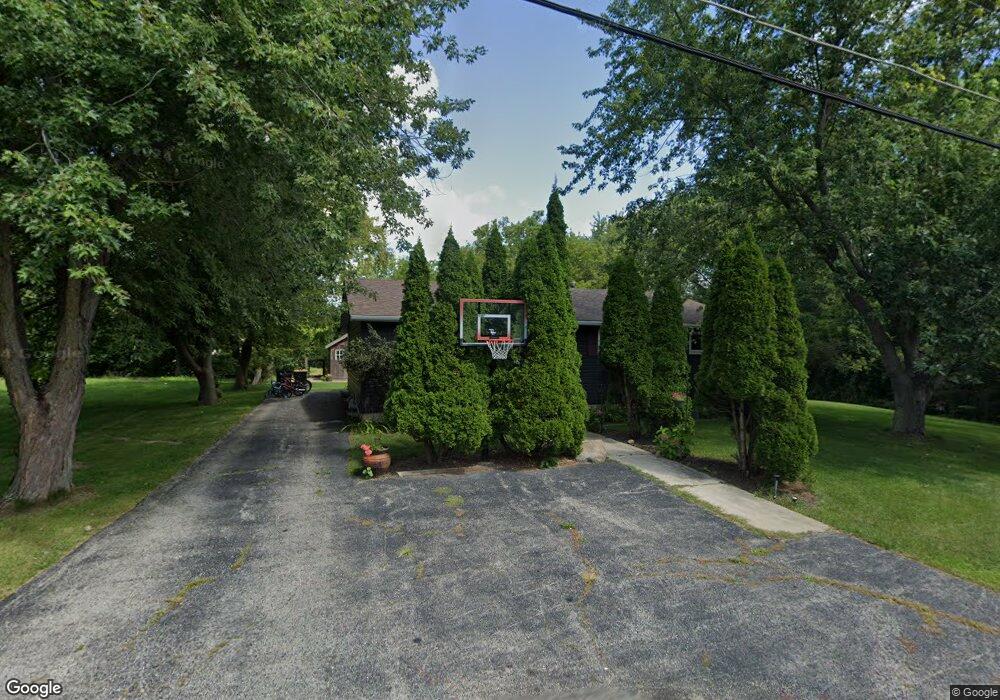
11894 W 13th St Zion, IL 60099
West Zion NeighborhoodEstimated Value: $262,560 - $291,000
3
Beds
3
Baths
1,232
Sq Ft
$224/Sq Ft
Est. Value
About This Home
This home is located at 11894 W 13th St, Zion, IL 60099 and is currently estimated at $275,890, approximately $223 per square foot. 11894 W 13th St is a home located in Lake County with nearby schools including Kenneth Murphy School, Beach Park Middle School, and Zion-Benton Township High School.
Ownership History
Date
Name
Owned For
Owner Type
Purchase Details
Closed on
Apr 8, 2010
Sold by
Mckenzie Pamela Jill and Casey James William
Bought by
Casey Amanda
Current Estimated Value
Home Financials for this Owner
Home Financials are based on the most recent Mortgage that was taken out on this home.
Original Mortgage
$109,971
Outstanding Balance
$74,755
Interest Rate
5.5%
Mortgage Type
FHA
Estimated Equity
$201,135
Purchase Details
Closed on
Jul 18, 2003
Sold by
Casey Geraldine
Bought by
Mckenzie Pamela Jill and Casey James William
Create a Home Valuation Report for This Property
The Home Valuation Report is an in-depth analysis detailing your home's value as well as a comparison with similar homes in the area
Home Values in the Area
Average Home Value in this Area
Purchase History
| Date | Buyer | Sale Price | Title Company |
|---|---|---|---|
| Casey Amanda | $112,000 | First American Title | |
| Mckenzie Pamela Jill | -- | -- |
Source: Public Records
Mortgage History
| Date | Status | Borrower | Loan Amount |
|---|---|---|---|
| Open | Casey Amanda | $109,971 |
Source: Public Records
Tax History Compared to Growth
Tax History
| Year | Tax Paid | Tax Assessment Tax Assessment Total Assessment is a certain percentage of the fair market value that is determined by local assessors to be the total taxable value of land and additions on the property. | Land | Improvement |
|---|---|---|---|---|
| 2024 | $5,308 | $65,924 | $9,130 | $56,794 |
| 2023 | $5,308 | $57,483 | $8,814 | $48,669 |
| 2022 | $5,228 | $53,879 | $8,621 | $45,258 |
| 2021 | $5,089 | $50,012 | $8,402 | $41,610 |
| 2020 | $4,968 | $47,726 | $8,018 | $39,708 |
| 2019 | $4,940 | $45,281 | $7,607 | $37,674 |
| 2018 | $5,505 | $48,509 | $9,181 | $39,328 |
| 2017 | $5,448 | $45,634 | $8,637 | $36,997 |
| 2016 | $5,302 | $43,445 | $8,223 | $35,222 |
| 2015 | $5,130 | $39,843 | $7,541 | $32,302 |
| 2014 | $4,315 | $36,162 | $5,776 | $30,386 |
| 2012 | $4,379 | $37,578 | $6,002 | $31,576 |
Source: Public Records
Map
Nearby Homes
- 1304 Pelican Ct
- 3707 Willow Crest Dr
- 3717 Willow Crest Dr
- 1531 Southport Ct
- 1521 Southport Ct
- 1405 Lewis Ave
- 4014 Ridge Rd
- 1417 Westside Trail
- 1302 Lorelei Dr
- 0 9th St
- 1817 Joppa Ave
- 1814 Jethro Ave
- 908 Countrywood Dr
- 1703 Hermon Ave
- 1807 Horeb Ave
- 42908 N Lewis Ave
- 2004 Joanna Ave
- 1701 Galilee Ave
- 4539 Illinois 173
- 4533 Illinois 173
- 1302 Pelican Ct
- 1300 Pelican Ct
- 3507 Edwards Ct
- 3504 Portsmouth Dr
- 1306 Pelican Ct
- 3502 Portsmouth Dr
- 3500 Portsmouth Dr
- 1308 Pelican Ct
- 42023 N Kenosha Rd
- 11922 W Edwards Ct
- 1310 Pelican Ct
- 11860 W Edwards Ct
- 3510 Portsmouth Dr
- 3410 Portsmouth Dr
- 42071 N Kenosha Rd
- 1301 Kenosha Rd
- 1315 Kenosha Rd
- 3503 Portsmouth Dr
- 3512 Portsmouth Dr
- 11905 W 12th St