Estimated Value: $96,000 - $169,000
2
Beds
1
Bath
1,088
Sq Ft
$124/Sq Ft
Est. Value
About This Home
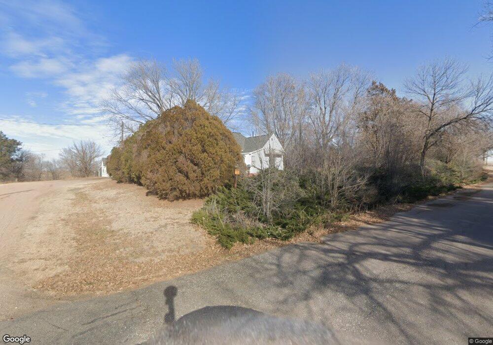
This home is located at 11895 5th St, Ayr, NE 68925 and is currently estimated at $135,092, approximately $124 per square foot. 11895 5th St is a home with nearby schools including Wallace School, Adams Central Elementary School, and Adams Central Early Childhood Center.
Ownership History
Date
Name
Owned For
Owner Type
Purchase Details
Closed on
Oct 18, 2022
Sold by
Lamb Bryce A
Bought by
Kinney Carson and Lovelace Amy A
Current Estimated Value
Home Financials for this Owner
Home Financials are based on the most recent Mortgage that was taken out on this home.
Original Mortgage
$116,161
Outstanding Balance
$111,478
Interest Rate
5.66%
Mortgage Type
Balloon
Estimated Equity
$23,614
Purchase Details
Closed on
May 6, 2021
Sold by
Franzen Barbara J and Franzen Barbara Jean
Bought by
Lamb Bryce A
Home Financials for this Owner
Home Financials are based on the most recent Mortgage that was taken out on this home.
Original Mortgage
$65,656
Interest Rate
3.1%
Mortgage Type
New Conventional
Create a Home Valuation Report for This Property
The Home Valuation Report is an in-depth analysis detailing your home's value as well as a comparison with similar homes in the area
Home Values in the Area
Average Home Value in this Area
Purchase History
| Date | Buyer | Sale Price | Title Company |
|---|---|---|---|
| Kinney Carson | $115,000 | Adams Land Title | |
| Lamb Bryce A | $65,000 | Grand Island Abstract Escrow |
Source: Public Records
Mortgage History
| Date | Status | Borrower | Loan Amount |
|---|---|---|---|
| Open | Kinney Carson | $116,161 | |
| Previous Owner | Lamb Bryce A | $65,656 |
Source: Public Records
Tax History Compared to Growth
Tax History
| Year | Tax Paid | Tax Assessment Tax Assessment Total Assessment is a certain percentage of the fair market value that is determined by local assessors to be the total taxable value of land and additions on the property. | Land | Improvement |
|---|---|---|---|---|
| 2024 | $838 | $84,238 | $7,318 | $76,920 |
| 2023 | $1,048 | $76,995 | $7,318 | $69,677 |
| 2022 | $1,135 | $76,995 | $7,318 | $69,677 |
| 2021 | $498 | $33,672 | $2,927 | $30,745 |
| 2020 | $479 | $33,672 | $2,927 | $30,745 |
| 2019 | $503 | $36,195 | $5,450 | $30,745 |
| 2018 | $454 | $31,725 | $980 | $30,745 |
| 2017 | $455 | $31,725 | $0 | $0 |
| 2016 | $439 | $31,725 | $980 | $30,745 |
| 2011 | -- | $31,290 | $545 | $30,745 |
Source: Public Records
Map
Nearby Homes
- 815 W Silverlake Rd
- 205 N Webster St
- 110 W Nemaha St
- 502 W Nemaha St
- 3110 S Smokey Hill Rd
- 3100 S Southern Hills Dr
- 12235 S Antioch Ave
- 606 W Lancaster St
- 1820 S Wabash Ave
- 5180 W Highway 6
- 1142 W H St
- 1002 S Lincoln Ave
- 1140 Renae Ln
- 745 S Franklin Ave
- 502 S Woodland Ave
- 527 S Boston Ave
- 416 Queen City Ave
- Lot S California
- 719 S Kansas Ave
- 1423 W B St
- 3960 W Depot Ave
- 3940 Depot Ave
- 4050 W Depot Ave
- 11915 S 5th St
- 11920 S 5th St
- 4090 W Depot Ave
- 0 NE Corner 6th & Santa Rita St Unit ML81301612
- 4085 Depot Ave
- 3980 W Lincoln Ave
- 3960 W Lincoln Ave
- 4040 W Lincoln St
- 11975 S 4th St
- 12020 S 5th St
- 4090 W Lincoln Ave
- 4185 W Blue Ave
- 4190 W Blue Ave
- 12060 S 5th St
- 11750 S 4th St
- 12120 S 5th St
- 4085 W Irving Ave