11895 Hawks Nest Rd Athens, OH 45701
Estimated Value: $326,101 - $498,000
3
Beds
2
Baths
2,502
Sq Ft
$156/Sq Ft
Est. Value
About This Home
This home is located at 11895 Hawks Nest Rd, Athens, OH 45701 and is currently estimated at $390,700, approximately $156 per square foot. 11895 Hawks Nest Rd is a home located in Athens County with nearby schools including Alexander Elementary School and Alexander Junior/Senior High School.
Ownership History
Date
Name
Owned For
Owner Type
Purchase Details
Closed on
Aug 16, 2016
Sold by
Shaner Bryan C and Shaner Amy E
Bought by
Shaner Dustin B and Shaner Sarah E
Current Estimated Value
Create a Home Valuation Report for This Property
The Home Valuation Report is an in-depth analysis detailing your home's value as well as a comparison with similar homes in the area
Home Values in the Area
Average Home Value in this Area
Purchase History
| Date | Buyer | Sale Price | Title Company |
|---|---|---|---|
| Shaner Dustin B | -- | Attorney |
Source: Public Records
Tax History Compared to Growth
Tax History
| Year | Tax Paid | Tax Assessment Tax Assessment Total Assessment is a certain percentage of the fair market value that is determined by local assessors to be the total taxable value of land and additions on the property. | Land | Improvement |
|---|---|---|---|---|
| 2024 | $2,790 | $66,180 | $15,880 | $50,300 |
| 2023 | $2,694 | $66,180 | $15,880 | $50,300 |
| 2022 | $2,292 | $52,310 | $12,220 | $40,090 |
| 2021 | $2,295 | $52,310 | $12,220 | $40,090 |
| 2020 | $2,336 | $52,310 | $12,220 | $40,090 |
| 2019 | $2,376 | $54,480 | $11,170 | $43,310 |
| 2018 | $2,321 | $54,480 | $11,170 | $43,310 |
| 2017 | $3,728 | $54,480 | $11,170 | $43,310 |
| 2016 | $2,033 | $46,340 | $9,650 | $36,690 |
| 2015 | $3,130 | $46,340 | $9,650 | $36,690 |
| 2014 | $3,130 | $46,340 | $9,650 | $36,690 |
| 2013 | $2,831 | $44,380 | $7,450 | $36,930 |
Source: Public Records
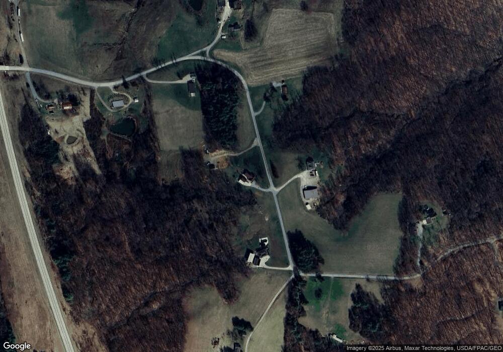
Map
Nearby Homes
- 0 Bates Rd
- 0 Pleasanton Rd Unit 2434213
- 14 Dove Dr
- 5 Applegate Dr
- 6650 Frum Rd
- 2100 Old State Route 33
- 130 Longview Heights Rd
- 3 Farhills Dr
- 17 Andover Rd
- 43 Pomeroy Rd
- 0 Echo Ln
- 99 Mulligan Rd
- 199 Longview Heights Rd
- 14050 Rocky Point Rd
- 6545 Long Run Rd
- 4 Larson's Way
- 31 Angela Dr
- 0 Larson's Way Unit 2431585
- 8005 Stone Castle Rd
- 5 Lamar Dr
- 11695 Hawks Nest Rd
- 11840 Hawks Nest Rd
- 11681 Hawks Nest Rd
- 11866 Hawks Nest Rd
- 11909 Hawks Nest Rd
- 11625 Hawks Nest Rd
- 12000 Hawks Nest Rd
- 11941 Hawks Nest Rd
- 4292 Bates Rd
- 4263 Bates Rd
- 4291 Bates Rd
- 4410 Bates Rd
- 4335 Bates Rd
- 11919 Hawks Nest Rd
- 3722 Bates Rd
- 4432 Bates Rd
- 3701 Bates Rd
- 3698 Bates Rd
- 3324 Bates Rd
- 3494 Bates Rd