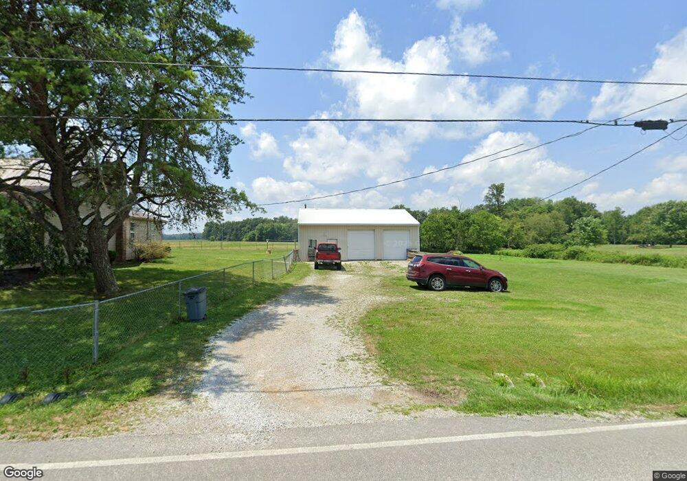
11897 Brownstown Arnheim Rd Georgetown, OH 45121
Estimated Value: $191,000 - $231,000
3
Beds
1
Bath
1,244
Sq Ft
$163/Sq Ft
Est. Value
About This Home
This home is located at 11897 Brownstown Arnheim Rd, Georgetown, OH 45121 and is currently estimated at $203,154, approximately $163 per square foot. 11897 Brownstown Arnheim Rd is a home located in Brown County with nearby schools including Sardinia Elementary School, Russellville Elementary School, and Eastern Middle School.
Ownership History
Date
Name
Owned For
Owner Type
Purchase Details
Closed on
Apr 12, 2019
Sold by
Tracy Brian
Bought by
Tracy Michelle L
Current Estimated Value
Home Financials for this Owner
Home Financials are based on the most recent Mortgage that was taken out on this home.
Original Mortgage
$55,000
Outstanding Balance
$48,355
Interest Rate
4.3%
Mortgage Type
New Conventional
Estimated Equity
$154,799
Purchase Details
Closed on
May 20, 2009
Sold by
Federal Home Loan Mortgage Corporation
Bought by
Tracy Brian
Purchase Details
Closed on
Sep 4, 2008
Sold by
Davis William D and Davis Mary Ann
Bought by
Federal Home Loan Mortgage Corporation
Purchase Details
Closed on
Mar 5, 2002
Sold by
Banks Harry
Bought by
Fry David
Create a Home Valuation Report for This Property
The Home Valuation Report is an in-depth analysis detailing your home's value as well as a comparison with similar homes in the area
Home Values in the Area
Average Home Value in this Area
Purchase History
| Date | Buyer | Sale Price | Title Company |
|---|---|---|---|
| Tracy Michelle L | -- | Trident Title Agency Inc | |
| Tracy Brian | $43,100 | Attorney | |
| Federal Home Loan Mortgage Corporation | $65,334 | None Available | |
| Fry David | $54,000 | -- |
Source: Public Records
Mortgage History
| Date | Status | Borrower | Loan Amount |
|---|---|---|---|
| Open | Tracy Michelle L | $55,000 |
Source: Public Records
Tax History Compared to Growth
Tax History
| Year | Tax Paid | Tax Assessment Tax Assessment Total Assessment is a certain percentage of the fair market value that is determined by local assessors to be the total taxable value of land and additions on the property. | Land | Improvement |
|---|---|---|---|---|
| 2024 | $1,491 | $46,880 | $9,260 | $37,620 |
| 2023 | $1,491 | $35,870 | $7,180 | $28,690 |
| 2022 | $1,210 | $35,870 | $7,180 | $28,690 |
| 2021 | $1,198 | $35,870 | $7,180 | $28,690 |
| 2020 | $1,075 | $31,180 | $6,240 | $24,940 |
| 2019 | $1,067 | $31,180 | $6,240 | $24,940 |
| 2018 | $1,058 | $31,180 | $6,240 | $24,940 |
| 2017 | $941 | $29,190 | $6,870 | $22,320 |
| 2016 | $940 | $29,190 | $6,870 | $22,320 |
| 2015 | $979 | $29,190 | $6,870 | $22,320 |
| 2014 | $979 | $28,560 | $6,240 | $22,320 |
| 2013 | $977 | $28,560 | $6,240 | $22,320 |
Source: Public Records
Map
Nearby Homes
- 10898 Parker Lane Rd
- 4940 Goose Run Rd
- 106 Sequoia Dr
- 0 Zuni Dr Unit 1860578
- 1655 Waynoka Dr
- 120 Haw Dr
- 314 Waynoka Dr
- 0.5969ac Yuma Dr
- 119 Hogan Dr
- 115 Cherry St
- 3655 Yuma Dr
- 440 Waynoka Dr
- 12821 Beckelheimer Rd
- 7144 Ashridge Arnheim Rd
- 0 Pool Kuntz Rd Unit 1858442
- 0 Pool Kuntz Rd Unit 25232136
- 124 Fairview Ave
- 6 Mohican Cove
- 0 Creek - Lot# 2795 Dr Unit 1803735
- 1656 S Waynoka
- 11897 Brownstown Arhiem Rd
- 11880 Brownstown Arnheim Rd
- 11941 Brownstown Arnheim Rd
- 11952 Brownstown Arnheim Rd
- 11969 Brownstown Arnheim Rd
- 13176 Steinman Rd
- 13146 Steinman Rd
- 13427 Steinman Rd
- 12985 Steinman Rd
- 11995 Brownstown Arnheim Rd
- 11996 Brownstown Arnheim Rd
- 6250 Catalpa Corner Rd
- 6284 Catalpa Corner Rd
- 12037 Brownstown Arnheim Rd
- 6351 Catalpa Corner Rd
- 12043 Brownstown Arnheim Rd
- 12071 Brownstown Arnheim Rd
- 12049 Brownstown Arnheim Rd
- 12184 Hamer Rd
- 0 Hamer Rd Unit 1164544