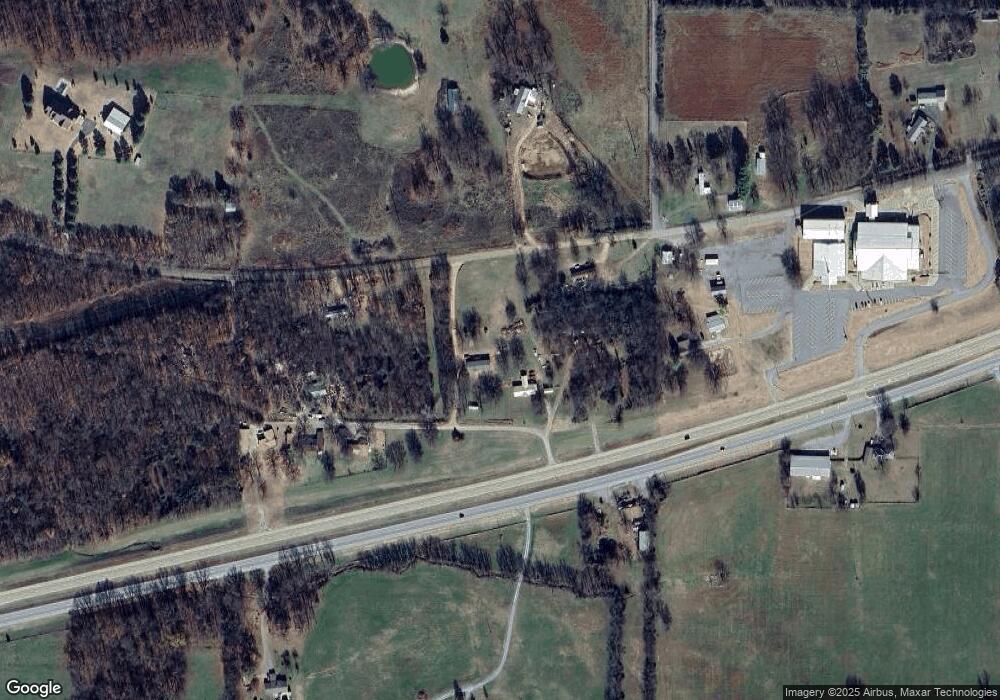
11898 W 838 Rd Tahlequah, OK 74464
Estimated Value: $183,253 - $286,000
3
Beds
2
Baths
1,820
Sq Ft
$132/Sq Ft
Est. Value
About This Home
This home is located at 11898 W 838 Rd, Tahlequah, OK 74464 and is currently estimated at $240,563, approximately $132 per square foot. 11898 W 838 Rd is a home located in Cherokee County.
Ownership History
Date
Name
Owned For
Owner Type
Purchase Details
Closed on
Sep 25, 2020
Sold by
Stanley E Jane and E Jane Stanley Revocable Trust
Bought by
Stanely Hubbard and Stanley Edgwen J
Current Estimated Value
Home Financials for this Owner
Home Financials are based on the most recent Mortgage that was taken out on this home.
Original Mortgage
$112,000
Outstanding Balance
$100,959
Interest Rate
2.9%
Mortgage Type
New Conventional
Estimated Equity
$108,298
Purchase Details
Closed on
Oct 5, 2009
Sold by
Stanley Hubbard M and Stanley Edgwen Jane
Bought by
Stanely E Jane and E Jane Stanley Revocable Trust
Purchase Details
Closed on
Apr 17, 2009
Sold by
Ford Billy L and Ford Tammy S
Bought by
Stanley Hubbard M and Stanley Edgwen Jane
Home Financials for this Owner
Home Financials are based on the most recent Mortgage that was taken out on this home.
Original Mortgage
$121,082
Interest Rate
5.36%
Mortgage Type
FHA
Create a Home Valuation Report for This Property
The Home Valuation Report is an in-depth analysis detailing your home's value as well as a comparison with similar homes in the area
Home Values in the Area
Average Home Value in this Area
Purchase History
| Date | Buyer | Sale Price | Title Company |
|---|---|---|---|
| Stanely Hubbard | -- | None Available | |
| Stanely E Jane | -- | None Available | |
| Stanley Hubbard M | -- | None Available |
Source: Public Records
Mortgage History
| Date | Status | Borrower | Loan Amount |
|---|---|---|---|
| Open | Stanely Hubbard | $112,000 | |
| Previous Owner | Stanley Hubbard M | $121,082 |
Source: Public Records
Tax History Compared to Growth
Tax History
| Year | Tax Paid | Tax Assessment Tax Assessment Total Assessment is a certain percentage of the fair market value that is determined by local assessors to be the total taxable value of land and additions on the property. | Land | Improvement |
|---|---|---|---|---|
| 2024 | $549 | $7,851 | $419 | $7,432 |
| 2023 | $630 | $7,851 | $419 | $7,432 |
| 2022 | $636 | $7,851 | $419 | $7,432 |
| 2021 | $640 | $7,851 | $419 | $7,432 |
| 2020 | $616 | $7,400 | $400 | $7,000 |
| 2019 | $512 | $7,184 | $388 | $6,796 |
| 2018 | $501 | $6,975 | $377 | $6,598 |
| 2017 | $489 | $6,772 | $366 | $6,406 |
| 2016 | $471 | $6,575 | $884 | $5,691 |
| 2015 | $449 | $6,383 | $342 | $6,041 |
| 2014 | $433 | $6,198 | $342 | $5,856 |
Source: Public Records
Map
Nearby Homes
- 12219 U S 62
- 0 Hwy 62 Hwy Unit 2532141
- 0 Hwy 62 Hwy Unit 2532145
- 0 Hwy 62 Hwy Unit 2532149
- 0 Hwy 62 Hwy Unit 2532139
- 0 Hwy 62 Hwy Unit 2517481
- 24481 S Manard Rd
- 0 805 Rd
- 11396 W Joyce Ln
- 152 Reid Rd
- 175 Reid Rd
- 119 N 6 Mile Ln
- 1904 N County Line Rd E
- 22695 N 6 Mile Rd
- 14650 W 835 Rd
- 1838 E Hwy 62
- 13380 W Clyde Maher Rd
- 27254 S 490 Rd
- 11769 W 838 Rd
- 14784 W 806 Rd
- 12034 Highway 62
- 11825 W 838 Rd
- 11973 W 835 Rd
- 11973 W 835 Rd
- 0 Hwy 62 Hwy S Unit 1606956
- 12046 Highway 62
- 12083 W 835 Rd
- 11920 W 835 Rd
- 11984 Highway 62
- 12030 W 835 Rd
- 12079 Highway 62
- 12217 Highway 62
- 12188 W 835 Rd
- 25410 S 450 Rd
- 12219 Highway 62
- 12219 Highway 62
- 12208 W 835 Rd
- 25354 S 450 Rd
- 25390 S 450 Rd
- 12270 W 835 Rd
