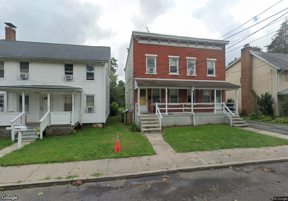
119 2nd Ave Unit 121 Hightstown, NJ 08520
Estimated Value: $465,095 - $604,000
2
Beds
--
Bath
2,108
Sq Ft
$245/Sq Ft
Est. Value
About This Home
This home is located at 119 2nd Ave Unit 121, Hightstown, NJ 08520 and is currently estimated at $515,774, approximately $244 per square foot. 119 2nd Ave Unit 121 is a home located in Mercer County with nearby schools including Melvin H. Kreps Middle School, Hightstown High School, and SciCore Academy.
Ownership History
Date
Name
Owned For
Owner Type
Purchase Details
Closed on
Aug 18, 2022
Sold by
Kelly Gail M
Bought by
Ht Estates Llc
Current Estimated Value
Home Financials for this Owner
Home Financials are based on the most recent Mortgage that was taken out on this home.
Original Mortgage
$243,750
Interest Rate
6.02%
Mortgage Type
New Conventional
Purchase Details
Closed on
Feb 13, 1976
Bought by
Kelly Gail Mary
Create a Home Valuation Report for This Property
The Home Valuation Report is an in-depth analysis detailing your home's value as well as a comparison with similar homes in the area
Home Values in the Area
Average Home Value in this Area
Purchase History
| Date | Buyer | Sale Price | Title Company |
|---|---|---|---|
| Ht Estates Llc | $325,000 | Stewart Title | |
| Ht Estates Llc | $325,000 | Stewart Title | |
| Kelly Gail Mary | $20,000 | -- |
Source: Public Records
Mortgage History
| Date | Status | Borrower | Loan Amount |
|---|---|---|---|
| Previous Owner | Ht Estates Llc | $243,750 |
Source: Public Records
Tax History Compared to Growth
Tax History
| Year | Tax Paid | Tax Assessment Tax Assessment Total Assessment is a certain percentage of the fair market value that is determined by local assessors to be the total taxable value of land and additions on the property. | Land | Improvement |
|---|---|---|---|---|
| 2025 | $9,448 | $192,700 | $67,500 | $149,700 |
| 2024 | $9,352 | $192,700 | $67,500 | $149,700 |
| 2023 | $9,352 | $192,700 | $67,500 | $125,200 |
| 2022 | $9,028 | $192,700 | $67,500 | $125,200 |
| 2021 | $8,702 | $192,700 | $67,500 | $125,200 |
| 2020 | $8,504 | $192,700 | $67,500 | $125,200 |
| 2019 | $8,267 | $192,700 | $67,500 | $125,200 |
| 2018 | $8,026 | $192,700 | $67,500 | $125,200 |
| 2017 | $7,943 | $192,700 | $67,500 | $125,200 |
| 2016 | $7,874 | $192,700 | $67,500 | $125,200 |
| 2015 | $7,824 | $192,700 | $67,500 | $125,200 |
| 2014 | $7,874 | $192,700 | $67,500 | $125,200 |
Source: Public Records
Map
Nearby Homes
- 311 2nd Ave
- 201 Morrison Ave
- 365 Stockton St
- 203 Hutchinson St
- 309 Lincoln Ave
- 141 Lincoln Ave
- 145 Lincoln Ave
- 400 Stockton St
- 359 Morrison Ave
- 302 S Main St
- 0 Route 130
- 15 Brownstone Rd
- 344 Monmouth St
- 219 Maxwell Ave
- 108 Orchard Ave
- 230 Mill Run Ct
- 4 Sandstone Rd
- 17 Winchester Dr
- 5 Forest Dr
- 1 Sterling Ct