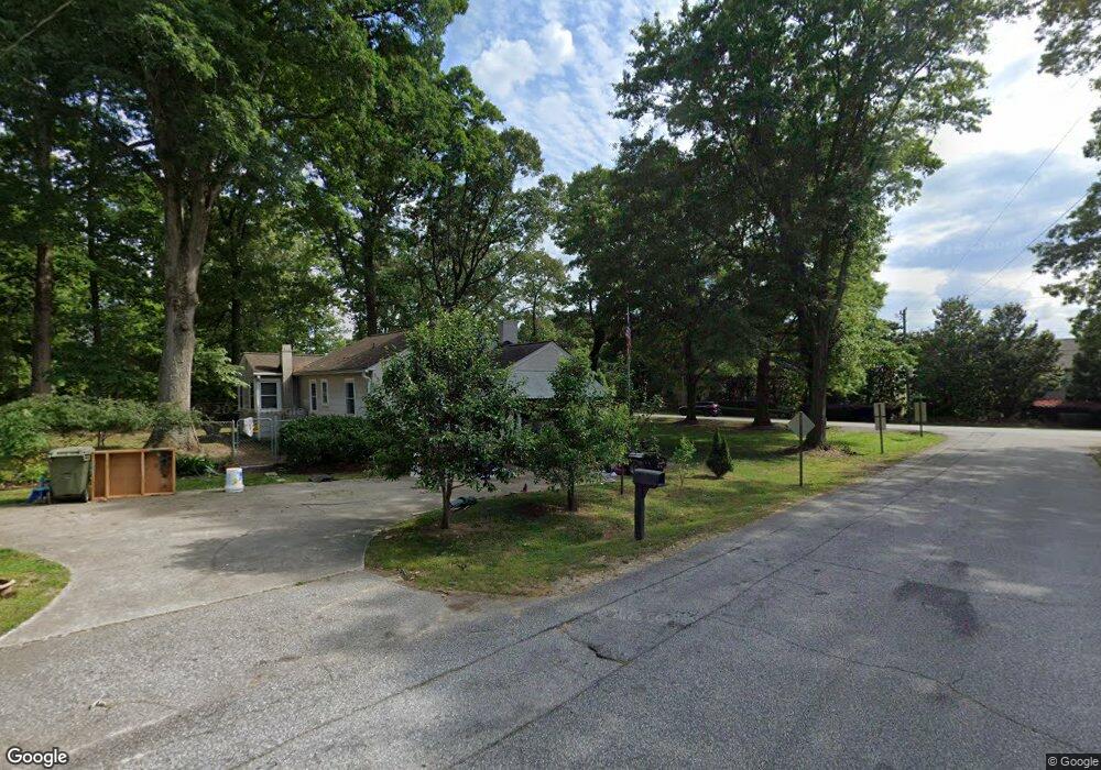
119 Ashmore Bridge Rd Mauldin, SC 29662
Estimated Value: $184,626 - $272,000
3
Beds
1
Bath
982
Sq Ft
$236/Sq Ft
Est. Value
About This Home
This home is located at 119 Ashmore Bridge Rd, Mauldin, SC 29662 and is currently estimated at $231,657, approximately $235 per square foot. 119 Ashmore Bridge Rd is a home located in Greenville County with nearby schools including Greenbrier Elementary School, Mauldin Middle School, and Mauldin High School.
Ownership History
Date
Name
Owned For
Owner Type
Purchase Details
Closed on
Nov 4, 2021
Sold by
Knapp Amy Thompson and Knapp Amy Marie
Bought by
Vision Development & Resources Llc
Current Estimated Value
Purchase Details
Closed on
Oct 30, 2017
Sold by
Estate Of Jeannette Louise Thompson
Bought by
Knapp Amy Thompson and Knapp Amy Marie
Purchase Details
Closed on
Dec 10, 2009
Sold by
Estate Of Ray Donald Thompson
Bought by
Thompson Jeanette L
Create a Home Valuation Report for This Property
The Home Valuation Report is an in-depth analysis detailing your home's value as well as a comparison with similar homes in the area
Home Values in the Area
Average Home Value in this Area
Purchase History
| Date | Buyer | Sale Price | Title Company |
|---|---|---|---|
| Vision Development & Resources Llc | $5,000 | None Available | |
| Knapp Amy Thompson | -- | None Available | |
| Thompson Jeanette L | -- | -- |
Source: Public Records
Tax History
| Year | Tax Paid | Tax Assessment Tax Assessment Total Assessment is a certain percentage of the fair market value that is determined by local assessors to be the total taxable value of land and additions on the property. | Land | Improvement |
|---|---|---|---|---|
| 2025 | $1,724 | $5,590 | $2,550 | $3,040 |
| 2024 | $1,665 | $4,870 | $1,320 | $3,550 |
| 2023 | $1,641 | $4,870 | $1,320 | $3,550 |
| 2022 | $1,563 | $4,870 | $1,320 | $3,550 |
| 2021 | $1,541 | $4,870 | $1,320 | $3,550 |
| 2020 | $1,421 | $4,230 | $1,290 | $2,940 |
| 2019 | $1,421 | $4,230 | $1,290 | $2,940 |
| 2018 | $1,394 | $4,230 | $1,290 | $2,940 |
| 2017 | $534 | $2,820 | $860 | $1,960 |
| 2016 | $163 | $70,520 | $21,500 | $49,020 |
| 2015 | $140 | $70,520 | $21,500 | $49,020 |
| 2014 | $126 | $68,420 | $21,500 | $46,920 |
Source: Public Records
Map
Nearby Homes
- 26 Sikes Cir
- 511 Fagin Cir
- 311 Whatley Cir
- 423 Twist Cir
- 4 Woodbend Ct
- 323 Pinehurst Dr
- 113 Carlton Dr
- 464 Bishop Dr
- 103 Ridan Rd
- 106 Whitestone Ave
- 23 Golden Apple Trail
- 147 Trailside Ln
- 222 Horse Tack Trail
- 123 Trailside Ln
- 8 Chelseabrook Ct
- 101 Pleasant Dr
- 242 Santorini Way
- 254 Santorini Way
- 407 Fielder Way
- 531 Waterbrook Dr
- 121 Ashmore Bridge Rd
- 310 Woodland Dr
- 117 Ashmore Bridge Rd
- 311 Woodland Dr
- 123 Ashmore Bridge Rd
- 310 Crestwood Dr
- 308 Crestwood Dr
- 308 Woodland Dr
- 6 Sikes Cir
- 8 Sikes Cir
- 10 Sikes Cir
- 4 Sikes Cir
- 12 Sikes Cir
- 2 Sikes Cir
- 14 Sikes Cir
- 16 Sikes Cir
- 18 Sikes Cir
- 20 Sikes Cir
- 22 Sikes Cir
- 309 Woodland Dr
Your Personal Tour Guide
Ask me questions while you tour the home.