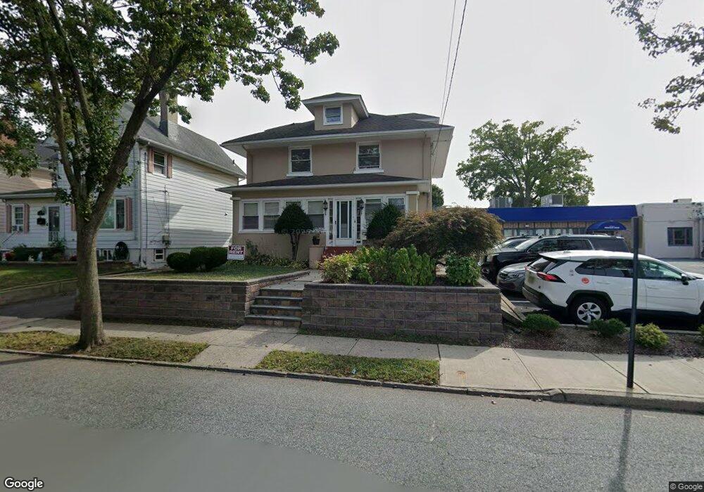
119 Atlantic St Hackensack, NJ 07601
Estimated Value: $666,000 - $845,896
Studio
--
Bath
2,902
Sq Ft
$267/Sq Ft
Est. Value
About This Home
This home is located at 119 Atlantic St, Hackensack, NJ 07601 and is currently estimated at $774,474, approximately $266 per square foot. 119 Atlantic St is a home located in Bergen County with nearby schools including Hackensack High School, Bergen County Christian Academy, and George Washington School.
Ownership History
Date
Name
Owned For
Owner Type
Purchase Details
Closed on
Nov 20, 2025
Sold by
Herbert Patricia F and Herbert F P
Bought by
Madans Quynh
Current Estimated Value
Purchase Details
Closed on
Dec 3, 2018
Sold by
Lliguisupa Luis R and Lliguisupa Raymond R
Bought by
Lliguisupa Raymond R
Purchase Details
Closed on
Dec 11, 2006
Create a Home Valuation Report for This Property
The Home Valuation Report is an in-depth analysis detailing your home's value as well as a comparison with similar homes in the area
Home Values in the Area
Average Home Value in this Area
Purchase History
| Date | Buyer | Sale Price | Title Company |
|---|---|---|---|
| Madans Quynh | $750,000 | Northern New Jersey Title | |
| Lliguisupa Raymond R | -- | -- | |
| -- | $550,000 | -- |
Source: Public Records
Tax History
| Year | Tax Paid | Tax Assessment Tax Assessment Total Assessment is a certain percentage of the fair market value that is determined by local assessors to be the total taxable value of land and additions on the property. | Land | Improvement |
|---|---|---|---|---|
| 2025 | $17,645 | $577,400 | $169,000 | $408,400 |
| 2024 | $16,623 | $577,400 | $169,000 | $408,400 |
| 2023 | $15,792 | $577,400 | $169,000 | $408,400 |
| 2022 | $15,792 | $563,600 | $157,700 | $405,900 |
| 2021 | $15,356 | $457,300 | $135,200 | $322,100 |
| 2020 | $15,132 | $457,300 | $135,200 | $322,100 |
| 2019 | $15,117 | $450,300 | $133,200 | $317,100 |
| 2018 | $15,178 | $444,700 | $130,200 | $314,500 |
| 2017 | $14,930 | $437,200 | $127,700 | $309,500 |
| 2016 | $14,259 | $422,100 | $117,700 | $304,400 |
| 2015 | $15,309 | $437,400 | $134,000 | $303,400 |
| 2014 | $14,530 | $437,400 | $134,000 | $303,400 |
Source: Public Records
Map
Nearby Homes
- 75 Union St Unit 5E
- 72 Lawrence St
- 54 Polifly Rd Unit 201
- 84 Kansas St
- 115 Kansas St
- 113 Kansas St
- 99 Kansas St
- 301 Beech St Unit 10I
- 301 Beech St Unit 2B
- 168 Clay St Unit 70
- 150 Overlook Ave Unit 10H
- 150 Overlook Ave Unit 7F
- 150 Overlook Ave Unit 12E
- 160 Overlook Ave Unit 3A
- 160 Overlook Ave Unit 16C
- 160 Overlook Ave Unit 4C
- 90 Prospect Ave Unit 2A
- 90 Prospect Ave Unit 9B
- 115 Polifly Rd Unit 5D
- 125 Prospect Ave Unit 17G
- 115 Atlantic St
- 111 Atlantic St
- 107 Atlantic St
- 118 Atlantic St
- 118 Atlantic St Unit 2
- 117 Union St
- 114 Atlantic St
- 114 Atlantic St Unit 2
- 114 Atlantic St Unit 1
- 112 Atlantic St
- 114-116 Myer St
- 114 Myer St Unit 116
- 130 Atlantic St
- 110 Atlantic St
- 129 Union St
- 134 Atlantic St
- 141 Atlantic St
- 131 Union St
- 143 Atlantic St
- 102 Railroad Ave
Your Personal Tour Guide
Ask me questions while you tour the home.