119 Atlantis Ln Lake Frederick, VA 22630
Estimated Value: $612,214 - $679,000
4
Beds
3
Baths
2,744
Sq Ft
$237/Sq Ft
Est. Value
About This Home
This home is located at 119 Atlantis Ln, Lake Frederick, VA 22630 and is currently estimated at $649,304, approximately $236 per square foot. 119 Atlantis Ln is a home located in Frederick County with nearby schools including Armel Elementary School, Admiral Richard E. Byrd Middle School, and Sherando High School.
Ownership History
Date
Name
Owned For
Owner Type
Purchase Details
Closed on
Oct 17, 2018
Sold by
Frazier Ronald E and Frazier Alma S
Bought by
Frazier Ronald E and Frazier Alma S
Current Estimated Value
Purchase Details
Closed on
Jul 1, 2015
Sold by
Nvr Inc
Bought by
Frazier Ronald E
Home Financials for this Owner
Home Financials are based on the most recent Mortgage that was taken out on this home.
Original Mortgage
$388,581
Outstanding Balance
$299,709
Interest Rate
4.03%
Mortgage Type
VA
Estimated Equity
$349,595
Purchase Details
Closed on
May 1, 2015
Sold by
Mrec Shenandoah Va Llc
Bought by
Nvr Inc
Create a Home Valuation Report for This Property
The Home Valuation Report is an in-depth analysis detailing your home's value as well as a comparison with similar homes in the area
Home Values in the Area
Average Home Value in this Area
Purchase History
| Date | Buyer | Sale Price | Title Company |
|---|---|---|---|
| Frazier Ronald E | -- | None Available | |
| Frazier Ronald E | $376,168 | None Available | |
| Nvr Inc | $92,500 | -- |
Source: Public Records
Mortgage History
| Date | Status | Borrower | Loan Amount |
|---|---|---|---|
| Open | Frazier Ronald E | $388,581 |
Source: Public Records
Tax History
| Year | Tax Paid | Tax Assessment Tax Assessment Total Assessment is a certain percentage of the fair market value that is determined by local assessors to be the total taxable value of land and additions on the property. | Land | Improvement |
|---|---|---|---|---|
| 2025 | $2,655 | $553,200 | $108,000 | $445,200 |
| 2024 | $1,376 | $539,600 | $92,000 | $447,600 |
| 2023 | $2,752 | $539,600 | $92,000 | $447,600 |
| 2022 | $2,621 | $429,600 | $87,000 | $342,600 |
| 2021 | $2,621 | $429,600 | $87,000 | $342,600 |
| 2020 | $2,410 | $395,100 | $87,000 | $308,100 |
| 2019 | $2,410 | $395,100 | $87,000 | $308,100 |
| 2018 | $2,358 | $386,600 | $87,000 | $299,600 |
| 2017 | $2,320 | $386,600 | $87,000 | $299,600 |
| 2016 | $2,175 | $362,500 | $84,500 | $278,000 |
| 2015 | -- | $80,000 | $80,000 | $0 |
Source: Public Records
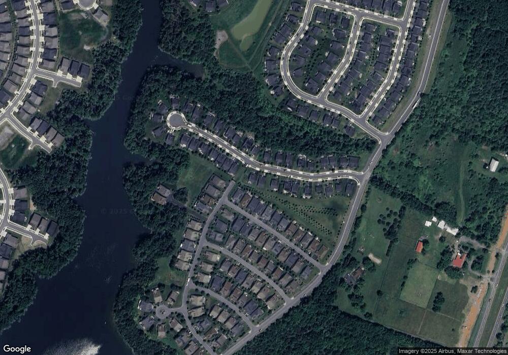
Map
Nearby Homes
- 103 Cloak Ln
- 117 Harvester Dr
- 109 Tutelo Ln
- 107 Cabbage White Dr
- 105 Cabbage White Dr
- 134 Atlantis Ln
- 118 Viceroy Way
- 101 Trout Lily Dr
- 124 Checkerspot Way
- 107 Yellow Birch Ct
- 109 Bayhill Terrace
- 123 Cowbird St
- 117 Pintail Way
- 102 Betony Ct
- 104 Rhododendron Ct
- 108 Rhododendron Ct
- 106 Rhododendron Ct
- 114 Turnstone Ln
- 105 Turnstone Ln
- 0 Winchester Rd Unit VAWR2010162
- 117 Atlantis Ln
- 123 Atlantis Ln
- 122 Cloak Ln
- 120 Cloak Ln
- 115 Atlantis Ln
- 116 Atlantis Ln
- 125 Atlantis Ln
- 118 Atlantis Ln
- 133 Harvester Dr
- 118 Cloak Ln
- 122 Atlantis Ln
- 127 Atlantis Ln
- 114 Atlantis Ln
- 131 Harvester Dr
- 116 Cloak Ln
- 113 Atlantis Ln
- 124 Atlantis Ln
- 112 Atlantis Ln
- 129 Harvester Dr
- 126 Harvester Dr
Your Personal Tour Guide
Ask me questions while you tour the home.