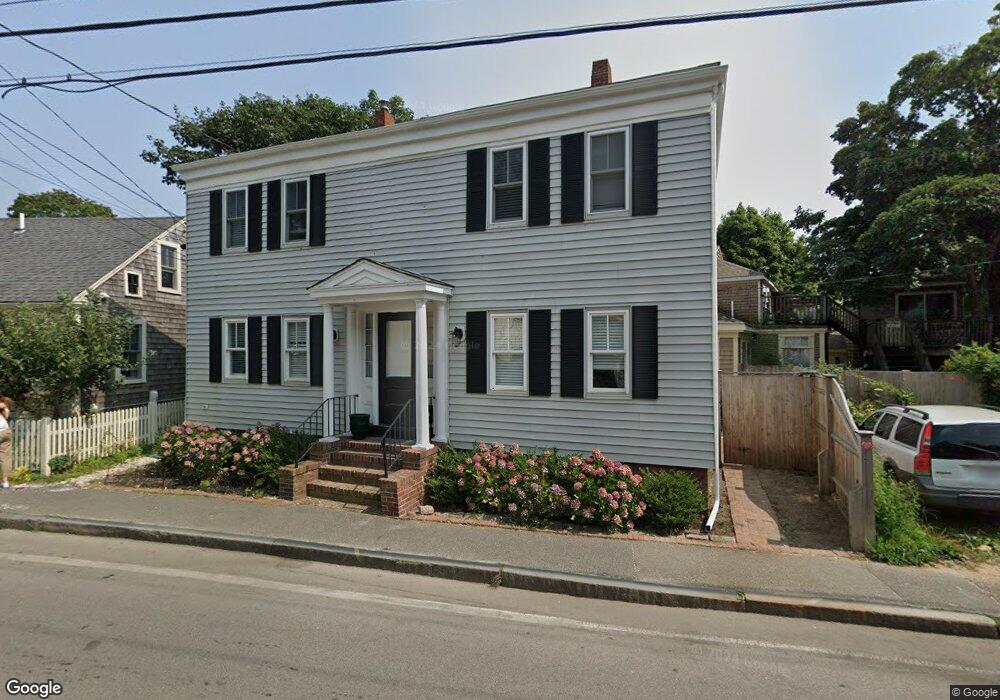
119 Bradford St Provincetown, MA 02657
Estimated Value: $3,865,644 - $4,385,000
3
Beds
4
Baths
4,142
Sq Ft
$1,014/Sq Ft
Est. Value
About This Home
This home is located at 119 Bradford St, Provincetown, MA 02657 and is currently estimated at $4,199,881, approximately $1,013 per square foot. 119 Bradford St is a home located in Barnstable County with nearby schools including Provincetown Schools.
Ownership History
Date
Name
Owned For
Owner Type
Purchase Details
Closed on
Dec 6, 2013
Sold by
Gordon Rt and Gordon
Bought by
Avruch Steven N and Maclean Edward G
Current Estimated Value
Home Financials for this Owner
Home Financials are based on the most recent Mortgage that was taken out on this home.
Original Mortgage
$707,600
Outstanding Balance
$232,576
Interest Rate
4.17%
Mortgage Type
Purchase Money Mortgage
Estimated Equity
$3,967,305
Purchase Details
Closed on
Nov 7, 1991
Sold by
Steig Miriam G and Steig Michael
Bought by
Gordon Williamh
Create a Home Valuation Report for This Property
The Home Valuation Report is an in-depth analysis detailing your home's value as well as a comparison with similar homes in the area
Home Values in the Area
Average Home Value in this Area
Purchase History
| Date | Buyer | Sale Price | Title Company |
|---|---|---|---|
| Avruch Steven N | $884,500 | -- | |
| Avruch Steven N | $884,500 | -- | |
| Avruch Steven N | $884,500 | -- | |
| Gordon Williamh | $175,000 | -- | |
| Gordon Williamh | $175,000 | -- |
Source: Public Records
Mortgage History
| Date | Status | Borrower | Loan Amount |
|---|---|---|---|
| Open | Avruch Steven N | $707,600 | |
| Closed | Avruch Steven N | $707,600 | |
| Previous Owner | Gordon Williamh | $750,000 | |
| Previous Owner | Gordon Williamh | $150,500 |
Source: Public Records
Tax History Compared to Growth
Tax History
| Year | Tax Paid | Tax Assessment Tax Assessment Total Assessment is a certain percentage of the fair market value that is determined by local assessors to be the total taxable value of land and additions on the property. | Land | Improvement |
|---|---|---|---|---|
| 2025 | $20,706 | $3,697,500 | $891,000 | $2,806,500 |
| 2024 | $19,827 | $3,553,300 | $849,100 | $2,704,200 |
| 2023 | $18,511 | $3,095,500 | $738,500 | $2,357,000 |
| 2022 | $17,001 | $2,552,700 | $586,700 | $1,966,000 |
| 2021 | $16,191 | $2,286,800 | $533,300 | $1,753,500 |
| 2020 | $14,713 | $2,222,500 | $540,300 | $1,682,200 |
| 2019 | $8,203 | $1,161,900 | $524,600 | $637,300 |
| 2018 | $7,523 | $1,009,800 | $524,600 | $485,200 |
| 2017 | $7,505 | $973,400 | $514,300 | $459,100 |
| 2016 | $7,356 | $943,100 | $499,300 | $443,800 |
| 2015 | $8,362 | $1,133,000 | $647,500 | $485,500 |
Source: Public Records
Map
Nearby Homes
- 290 Commercial St Unit 2B
- 290 Commercial St Unit 2A
- 294 Commercial St
- 116 Bradford St Unit 1
- 269-271 Commercial St
- 271 Commercial St
- 104 Bradford St Unit 15
- 318 Commercial St Unit 1
- 265 Commercial St
- 6 Winslow St
- 234 Commercial St
- 143 Bradford St Unit A
- 4 Center St
- 351A Commercial St Unit A1
- 15 Center St
- 361b Commercial St Unit U3
- 371 Commercial St Unit 6
- 4 Railroad Ave Unit 2
- 381 Commercial St Unit U10
- 284-A Commercial St
- 284A Commercial St
- 284 Commercial St Unit 6B
- 284 Commercial St Unit 5B
- 284 Commercial St Unit 4B
- 284 Commercial St Unit 3B
- 284 Commercial St Unit 2B
- 284 Commercial St Unit 1B
- 284 Commercial St Unit 5
- 284 Commercial St Unit 4
- 284 Commercial St Unit 3
- 284 Commercial St Unit 2
- 284 Commercial St Unit 1
- 284 Commercial St Unit 6
- 284 Commercial St Unit U6
- 123 Bradford St
- 284B Commercial St Unit 4
- 284B Commercial St Unit 3
- 284B Commercial St Unit 5
- 284B Commercial St Unit 1