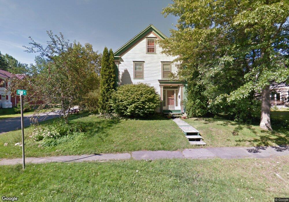
119 Cedar St Belfast, ME 04915
Estimated Value: $574,000 - $732,000
4
Beds
3
Baths
2,968
Sq Ft
$225/Sq Ft
Est. Value
About This Home
This home is located at 119 Cedar St, Belfast, ME 04915 and is currently estimated at $667,615, approximately $224 per square foot. 119 Cedar St is a home located in Waldo County with nearby schools including Cornerspring Children's House and The School At Sweetser - Belfast.
Ownership History
Date
Name
Owned For
Owner Type
Purchase Details
Closed on
Dec 30, 2008
Sold by
Drewes Brian F and Parker Andrea M
Bought by
Crabiel David J and Crabiel Joan M
Current Estimated Value
Home Financials for this Owner
Home Financials are based on the most recent Mortgage that was taken out on this home.
Original Mortgage
$196,000
Outstanding Balance
$133,323
Interest Rate
7%
Mortgage Type
Adjustable Rate Mortgage/ARM
Estimated Equity
$534,293
Create a Home Valuation Report for This Property
The Home Valuation Report is an in-depth analysis detailing your home's value as well as a comparison with similar homes in the area
Home Values in the Area
Average Home Value in this Area
Purchase History
| Date | Buyer | Sale Price | Title Company |
|---|---|---|---|
| Crabiel David J | -- | -- |
Source: Public Records
Mortgage History
| Date | Status | Borrower | Loan Amount |
|---|---|---|---|
| Open | Crabiel David J | $196,000 |
Source: Public Records
Tax History
| Year | Tax Paid | Tax Assessment Tax Assessment Total Assessment is a certain percentage of the fair market value that is determined by local assessors to be the total taxable value of land and additions on the property. | Land | Improvement |
|---|---|---|---|---|
| 2025 | $8,498 | $520,100 | $170,500 | $349,600 |
| 2024 | $8,010 | $520,100 | $170,500 | $349,600 |
| 2023 | $6,233 | $310,100 | $82,500 | $227,600 |
| 2022 | $6,362 | $297,300 | $82,500 | $214,800 |
| 2021 | $6,541 | $297,300 | $82,500 | $214,800 |
| 2020 | $5,911 | $253,700 | $80,000 | $173,700 |
| 2019 | $5,810 | $253,700 | $80,000 | $173,700 |
| 2018 | $5,446 | $239,900 | $80,000 | $159,900 |
| 2017 | $5,254 | $239,900 | $80,000 | $159,900 |
| 2016 | $5,530 | $241,500 | $30,000 | $211,500 |
| 2015 | $5,410 | $241,500 | $30,000 | $211,500 |
| 2014 | $5,228 | $241,500 | $30,000 | $211,500 |
| 2013 | $5,023 | $241,500 | $30,000 | $211,500 |
Source: Public Records
Map
Nearby Homes
- 41 Grove St
- 68 Park St
- 11 Durham St
- 27 Court St Unit 1
- 78 High St
- 3 Kerry Gardens Unit 25
- 16 Cottage St
- 9 James St
- 183 Main St
- 18 Waldo Ave
- 17 R W MacLeod Ln
- 4 R W MacLeod Ln
- 53 Lincolnville Ave
- 19 Glenview Ln
- Lot 5 Waukeag Way
- 99 Dockside Ln Unit 99
- 101 Waldo Ave Unit 3-1
- 192 Northport Ave
- 2 Swan Lake Ave
- 5 Whitetail St
Your Personal Tour Guide
Ask me questions while you tour the home.