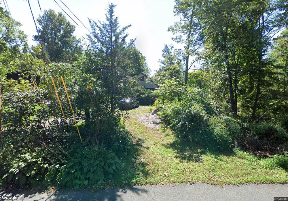
119 Cemetery Rd Blairstown, NJ 07825
Estimated Value: $367,695 - $466,000
--
Bed
--
Bath
1,615
Sq Ft
$259/Sq Ft
Est. Value
About This Home
This home is located at 119 Cemetery Rd, Blairstown, NJ 07825 and is currently estimated at $418,424, approximately $259 per square foot. 119 Cemetery Rd is a home located in Warren County with nearby schools including Hope Township Elementary School.
Ownership History
Date
Name
Owned For
Owner Type
Purchase Details
Closed on
Aug 16, 1995
Sold by
The Oxford Finance Companies Inc
Bought by
Tomkins Robert and Tomkins Georgianne
Current Estimated Value
Purchase Details
Closed on
May 26, 1994
Sold by
Kelley Don R
Bought by
The Oxford Finance Companies Inc
Create a Home Valuation Report for This Property
The Home Valuation Report is an in-depth analysis detailing your home's value as well as a comparison with similar homes in the area
Home Values in the Area
Average Home Value in this Area
Purchase History
| Date | Buyer | Sale Price | Title Company |
|---|---|---|---|
| Tomkins Robert | $155,000 | -- | |
| The Oxford Finance Companies Inc | $78,300 | -- |
Source: Public Records
Mortgage History
| Date | Status | Borrower | Loan Amount |
|---|---|---|---|
| Closed | The Oxford Finance Companies Inc | -- |
Source: Public Records
Tax History Compared to Growth
Tax History
| Year | Tax Paid | Tax Assessment Tax Assessment Total Assessment is a certain percentage of the fair market value that is determined by local assessors to be the total taxable value of land and additions on the property. | Land | Improvement |
|---|---|---|---|---|
| 2025 | $6,776 | $197,900 | $46,000 | $151,900 |
| 2024 | $6,321 | $197,900 | $46,000 | $151,900 |
| 2023 | $6,066 | $197,900 | $46,000 | $151,900 |
| 2022 | $6,066 | $197,900 | $46,000 | $151,900 |
| 2021 | $5,891 | $197,900 | $46,000 | $151,900 |
| 2020 | $5,963 | $197,900 | $46,000 | $151,900 |
| 2019 | $5,656 | $197,900 | $46,000 | $151,900 |
| 2018 | $5,656 | $197,900 | $46,000 | $151,900 |
| 2017 | $6,281 | $247,200 | $124,000 | $123,200 |
| 2016 | $6,252 | $247,200 | $124,000 | $123,200 |
| 2015 | $6,210 | $247,200 | $124,000 | $123,200 |
| 2014 | $5,911 | $247,200 | $124,000 | $123,200 |
Source: Public Records
Map
Nearby Homes
- 12 Locust Lake Rd
- 95 Auble Rd
- 522 Delaware Rd
- 135 N Locust Lake Rd
- 2 Frontage Rd
- 19-23-29 Swayze Mill Rd
- 341 Mount Hermon Rd
- 7 Gap View Dr
- 3 Hoagland Rd
- 94 Hoagland Rd
- 3 Hickory Ridge Dr
- 77 Union Brick Rd
- 148 Vail Rd
- 5 Alice Ct
- 123 Vail Rd
- 170 Hope Rd
- 1 Bridge Rd
- 22 Hissim Rd
- 46 Union Brick Rd
- 0 Cedar Lake Rd Unit 3936605
- 117 Cemetery Rd
- 116 Cemetery Rd
- 125 Cemetery Rd
- 126 Cemetery Rd
- 107 Cemetery Rd
- 105 Cemetery Rd
- 104 Cemetery Rd
- 112 Cemetery Rd
- 103 Cemetery Rd
- 61 Locust Lake Rd
- 63 Locust Lake Rd
- 15 Cemetery Rd
- 59 Locust Lake Rd
- 65 Locust Lake Rd
- 12 Cemetery Rd
- 57 Locust Lake Rd
- 4 Honey Run Rd
- 87 Locust Lake Rd
- 55 Locust Lake Rd
- 6 Honey Run Rd