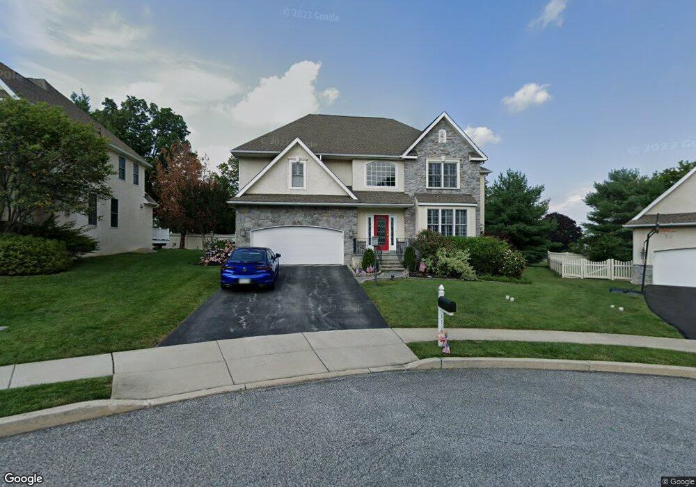
119 Ceton Ct Broomall, PA 19008
Marple Township Delaware NeighborhoodEstimated Value: $901,885 - $1,129,000
4
Beds
4
Baths
3,444
Sq Ft
$282/Sq Ft
Est. Value
About This Home
This home is located at 119 Ceton Ct, Broomall, PA 19008 and is currently estimated at $970,971, approximately $281 per square foot. 119 Ceton Ct is a home located in Delaware County with nearby schools including Russell Elementary School, Paxon Hollow Middle School, and Marple Newtown Senior High School.
Ownership History
Date
Name
Owned For
Owner Type
Purchase Details
Closed on
Aug 30, 2006
Sold by
Ceton Court Llc
Bought by
Fumento Robert S and Fumento Tamar Metjian
Current Estimated Value
Home Financials for this Owner
Home Financials are based on the most recent Mortgage that was taken out on this home.
Original Mortgage
$105,945
Interest Rate
6.44%
Mortgage Type
Unknown
Create a Home Valuation Report for This Property
The Home Valuation Report is an in-depth analysis detailing your home's value as well as a comparison with similar homes in the area
Home Values in the Area
Average Home Value in this Area
Purchase History
| Date | Buyer | Sale Price | Title Company |
|---|---|---|---|
| Fumento Robert S | $706,365 | Commonwealth Land Title Insu |
Source: Public Records
Mortgage History
| Date | Status | Borrower | Loan Amount |
|---|---|---|---|
| Closed | Fumento Robert S | $105,945 | |
| Open | Fumento Robert S | $565,092 |
Source: Public Records
Tax History Compared to Growth
Tax History
| Year | Tax Paid | Tax Assessment Tax Assessment Total Assessment is a certain percentage of the fair market value that is determined by local assessors to be the total taxable value of land and additions on the property. | Land | Improvement |
|---|---|---|---|---|
| 2025 | $9,492 | $549,250 | $97,840 | $451,410 |
| 2024 | $9,492 | $549,250 | $97,840 | $451,410 |
| 2023 | $9,191 | $549,250 | $97,840 | $451,410 |
| 2022 | $9,016 | $549,250 | $97,840 | $451,410 |
| 2021 | $13,607 | $549,250 | $97,840 | $451,410 |
| 2020 | $13,151 | $457,018 | $48,290 | $408,728 |
| 2019 | $12,993 | $457,018 | $48,290 | $408,728 |
| 2018 | $12,858 | $457,018 | $0 | $0 |
| 2017 | $12,865 | $457,018 | $0 | $0 |
| 2016 | $2,508 | $457,018 | $0 | $0 |
| 2015 | $2,559 | $457,018 | $0 | $0 |
| 2014 | $2,508 | $457,018 | $0 | $0 |
Source: Public Records
Map
Nearby Homes
- 15 Oakland Rd
- 54 Sterner Ave
- 300 Rock Run Cir
- Lot 2 Cynwyd
- Lot1 Cynwyd
- 88 4th Ave
- 2604 Cynwyd Ave
- 63 S Greenhill Rd
- 106 2nd Ave
- 2025 S Sproul Rd
- 127 Deerfield Rd
- 126 1st Ave
- 132 S Sproul Rd
- 301 S New Ardmore Ave
- 202 Rolling Rd
- 124 Carli Dr
- 2606 Springfield Rd
- 306 Rock Run Cir
- 50 Schoolhouse Ln
- 310 Lewis Rd
- 117 Ceton Ct
- 121 Ceton Ct
- 0 Ceton Ct Unit 5414303
- 0 Ceton Ct Unit 5414277
- 115 Ceton Ct
- 123 Ceton Ct
- 123 Ceton Ct Unit LOT 12
- 120 Ceton Ct
- 118 Ceton Ct
- 113 Ceton Ct
- 69 Strathaven Dr
- 116 Ceton Ct
- 67 Strathaven Dr
- 111 Ceton Ct
- 71 Strathaven Dr
- 114 Ceton Ct
- 75 Strathaven Dr
- 63 Strathaven Dr
- 109 Ceton Ct
- 112 Ceton Ct