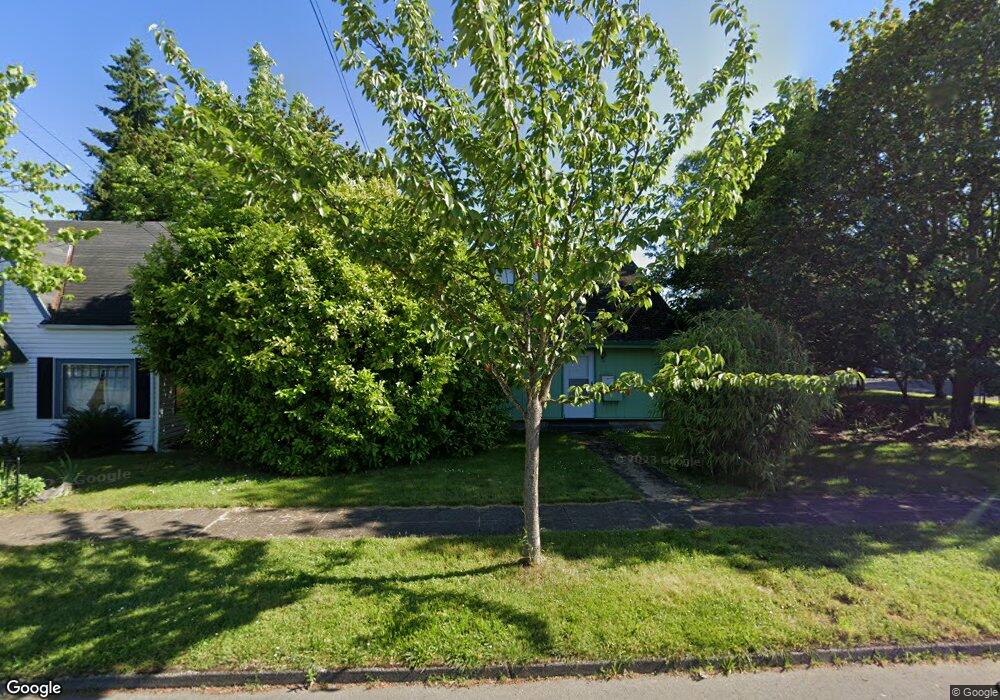
119 Clay St E Monmouth, OR 97361
Estimated Value: $365,000 - $440,000
4
Beds
2
Baths
1,908
Sq Ft
$214/Sq Ft
Est. Value
About This Home
This home is located at 119 Clay St E, Monmouth, OR 97361 and is currently estimated at $408,840, approximately $214 per square foot. 119 Clay St E is a home located in Polk County with nearby schools including Monmouth Elementary School, Talmadge Middle School, and Central High School.
Ownership History
Date
Name
Owned For
Owner Type
Purchase Details
Closed on
Oct 20, 2005
Sold by
Thompson Janice
Bought by
Brown Frank J and Brown Jeanne M
Current Estimated Value
Purchase Details
Closed on
Dec 18, 2004
Sold by
Thompson Paul and Thompson Janice
Bought by
Thompson Janice
Home Financials for this Owner
Home Financials are based on the most recent Mortgage that was taken out on this home.
Original Mortgage
$75,000
Interest Rate
8.8%
Mortgage Type
New Conventional
Create a Home Valuation Report for This Property
The Home Valuation Report is an in-depth analysis detailing your home's value as well as a comparison with similar homes in the area
Home Values in the Area
Average Home Value in this Area
Purchase History
| Date | Buyer | Sale Price | Title Company |
|---|---|---|---|
| Brown Frank J | $175,000 | Ticor Title | |
| Thompson Janice | -- | Amerititle |
Source: Public Records
Mortgage History
| Date | Status | Borrower | Loan Amount |
|---|---|---|---|
| Previous Owner | Thompson Janice | $75,000 |
Source: Public Records
Tax History Compared to Growth
Tax History
| Year | Tax Paid | Tax Assessment Tax Assessment Total Assessment is a certain percentage of the fair market value that is determined by local assessors to be the total taxable value of land and additions on the property. | Land | Improvement |
|---|---|---|---|---|
| 2025 | $2,651 | $160,790 | $52,390 | $108,400 |
| 2024 | $2,651 | $156,110 | $50,860 | $105,250 |
| 2023 | $2,761 | $151,570 | $49,380 | $102,190 |
| 2022 | $2,485 | $147,160 | $47,950 | $99,210 |
| 2021 | $2,457 | $142,880 | $46,550 | $96,330 |
| 2020 | $2,359 | $138,720 | $45,190 | $93,530 |
| 2019 | $2,291 | $134,680 | $43,880 | $90,800 |
| 2018 | $2,212 | $130,760 | $42,600 | $88,160 |
| 2017 | $2,200 | $126,960 | $41,360 | $85,600 |
| 2016 | $2,248 | $123,270 | $40,160 | $83,110 |
| 2015 | $2,149 | $119,680 | $38,990 | $80,690 |
| 2014 | $2,101 | $116,200 | $37,860 | $78,340 |
Source: Public Records
Map
Nearby Homes
- 271 Clay St E
- 412 Monmouth Ave S
- 348 Main St E
- 460 Monmouth Ave S
- 297 Main St W
- 505 Broad St S
- 545 Warren St S Unit 12
- 545 Warren St S
- 545 Warren St S Unit 7
- 191 Catron St S
- 360 Main St W
- 848 Monmouth Ave S
- 858 Main St E
- 13310 Monmouth Hwy
- 0 S Pacific Hwy W Unit 1100+ 24617884
- 0 S Pacific Hwy W
- 0 Catron St N
- 580 Walnut Ct S
- 10042 Helmick Rd
- 10042/10044 Helmick Rd
- 135 Clay St E
- 245 Warren St S
- 220 Warren (- 250) St
- 220 Warren St N
- 165 Clay St E
- 191 Warren St S
- 132 Clay St E
- 289 Warren St S
- 152 Clay St E
- 165 Warren St S
- 289 Warren St
- 145 Clay St W
- 190 Knox St S
- 155 Warren St S
- 184 Knox St S
- 141 Warren St S
- 303 Warren St S
- 301 Warren St S
- 133 Warren St S
- 215 Clay St E