119 Comet Ln Jasper, GA 30143
Estimated Value: $353,000 - $687,000
--
Bed
3
Baths
2,896
Sq Ft
$180/Sq Ft
Est. Value
About This Home
This home is located at 119 Comet Ln, Jasper, GA 30143 and is currently estimated at $521,644, approximately $180 per square foot. 119 Comet Ln is a home located in Pickens County with nearby schools including Hill City Elementary School, Pickens County Middle School, and Pickens County High School.
Ownership History
Date
Name
Owned For
Owner Type
Purchase Details
Closed on
May 4, 2009
Sold by
Childree Mary Ellen
Bought by
Childree Bobby R
Current Estimated Value
Purchase Details
Closed on
Feb 10, 1988
Sold by
Childree Bobby R
Bought by
Childree Mary Ellen
Purchase Details
Closed on
May 16, 1985
Sold by
Childree Bobby R
Bought by
Ashbaugh Tim Macintyre and Ashbaugh Ruthie D
Purchase Details
Closed on
Feb 23, 1973
Sold by
Childree Bobby R
Bought by
Ashbaugh Tim Macintyre
Create a Home Valuation Report for This Property
The Home Valuation Report is an in-depth analysis detailing your home's value as well as a comparison with similar homes in the area
Home Values in the Area
Average Home Value in this Area
Purchase History
| Date | Buyer | Sale Price | Title Company |
|---|---|---|---|
| Childree Bobby R | -- | -- | |
| Childree Mary Ellen | -- | -- | |
| Ashbaugh Tim Macintyre | -- | -- | |
| Ashbaugh Tim Macintyre | -- | -- |
Source: Public Records
Tax History Compared to Growth
Tax History
| Year | Tax Paid | Tax Assessment Tax Assessment Total Assessment is a certain percentage of the fair market value that is determined by local assessors to be the total taxable value of land and additions on the property. | Land | Improvement |
|---|---|---|---|---|
| 2024 | $2,319 | $122,184 | $71,078 | $51,106 |
| 2023 | $2,383 | $122,184 | $71,078 | $51,106 |
| 2022 | $2,383 | $122,184 | $71,078 | $51,106 |
| 2021 | $2,553 | $122,184 | $71,078 | $51,106 |
| 2020 | $2,630 | $122,184 | $71,078 | $51,106 |
| 2019 | $2,805 | $122,184 | $71,078 | $51,106 |
| 2018 | $2,716 | $122,184 | $71,078 | $51,106 |
| 2017 | $2,760 | $122,184 | $71,078 | $51,106 |
| 2016 | $2,726 | $118,919 | $67,814 | $51,106 |
| 2015 | $2,663 | $118,919 | $67,814 | $51,106 |
| 2014 | $2,668 | $118,919 | $67,814 | $51,106 |
| 2013 | -- | $118,919 | $67,813 | $51,105 |
Source: Public Records
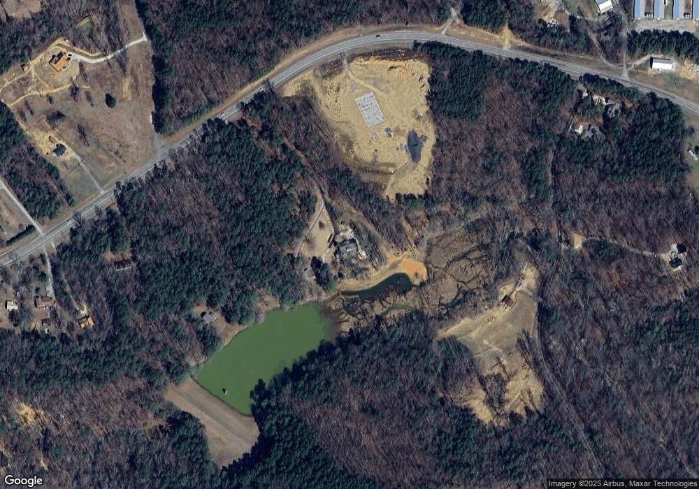
Map
Nearby Homes
- 310 Comet Ln
- 6472 Highway 53
- 681 Mullinax Rd
- 126 Jerusalem Farms Dr
- 110 Jerusalem Farms Dr
- 19 Thomason Farm Dr
- 344 Cain Trail
- 616 Gibson Trail
- 701 Tatum Rd
- 88 Hill City Trail
- 828 Rocky Ridge Rd
- 200 Willow Ln
- 247 Tatum Rd
- Lot 1 Thompson Ln
- 1045 Pleasant Hill Rd
- 629 Georgia 136 Connector
- Lot 4 Jerusalem Church Rd
- 13 Tatum Rd
- 280 Matthews Rd
- 0 Hill City Rd Unit 7600458
- 610 Mullinax Rd
- 0 Scarecorn Creek
- 7145 Highway 53 W
- 99 Scarecorn Church Rd
- 7189 Highway 53 W
- 7144 Highway 53 W
- 35 Mullinax Rd
- 6666 Highway 53 W
- 7205 Highway 53 W
- 8066 Hwy 53 W
- 15 Mullinax Rd
- 7225 Highway 53 W
- 6505 Highway 53 W
- 61 Ray Ridge Rd
- 6535 Highway 53 W
- 439 Mullinax Rd
- 225 Scarecorn Creek Rd
- 6437 Highway 53 W
- 115 Jerusalem Church Rd
- 7351 Highway 53 W