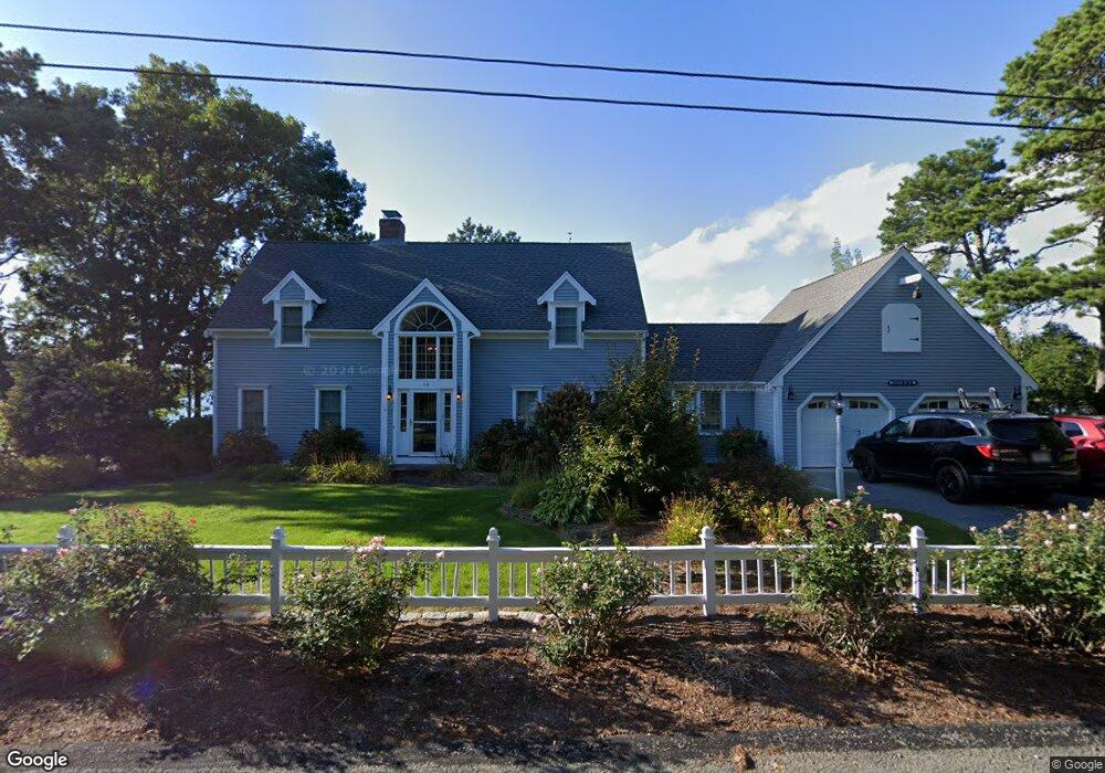
119 Cove Rd West Dennis, MA 02670
West Dennis NeighborhoodEstimated Value: $876,000 - $2,138,000
3
Beds
3
Baths
2,347
Sq Ft
$717/Sq Ft
Est. Value
About This Home
This home is located at 119 Cove Rd, West Dennis, MA 02670 and is currently estimated at $1,683,026, approximately $717 per square foot. 119 Cove Rd is a home located in Barnstable County with nearby schools including Dennis-Yarmouth Regional High School and St. Pius X. School.
Ownership History
Date
Name
Owned For
Owner Type
Purchase Details
Closed on
May 14, 2020
Sold by
C A Foley Properties Llc
Bought by
Foley Nicole K
Current Estimated Value
Purchase Details
Closed on
Mar 1, 2017
Sold by
Corbin Ft
Bought by
Ca Foley Properties Ll
Purchase Details
Closed on
Dec 31, 2014
Sold by
Corbin James M and Corbin Janet T
Bought by
Corbin Ft
Create a Home Valuation Report for This Property
The Home Valuation Report is an in-depth analysis detailing your home's value as well as a comparison with similar homes in the area
Home Values in the Area
Average Home Value in this Area
Purchase History
| Date | Buyer | Sale Price | Title Company |
|---|---|---|---|
| Foley Nicole K | -- | None Available | |
| Ca Foley Properties Ll | $1,175,000 | -- | |
| Corbin Ft | -- | -- |
Source: Public Records
Tax History Compared to Growth
Tax History
| Year | Tax Paid | Tax Assessment Tax Assessment Total Assessment is a certain percentage of the fair market value that is determined by local assessors to be the total taxable value of land and additions on the property. | Land | Improvement |
|---|---|---|---|---|
| 2025 | $7,593 | $1,753,600 | $836,100 | $917,500 |
| 2024 | $7,699 | $1,753,700 | $804,000 | $949,700 |
| 2023 | $7,153 | $1,531,700 | $739,500 | $792,200 |
| 2022 | $7,024 | $1,254,200 | $666,200 | $588,000 |
| 2021 | $7,400 | $1,227,200 | $683,500 | $543,700 |
| 2020 | $6,959 | $1,140,800 | $653,100 | $487,700 |
| 2019 | $6,922 | $1,121,800 | $640,300 | $481,500 |
| 2018 | $7,507 | $1,184,100 | $779,600 | $404,500 |
| 2017 | $7,282 | $1,184,100 | $779,600 | $404,500 |
| 2016 | $7,844 | $1,201,300 | $864,600 | $336,700 |
| 2015 | $7,662 | $1,197,200 | $864,600 | $332,600 |
| 2014 | $7,851 | $1,236,400 | $864,600 | $371,800 |
Source: Public Records
Map
Nearby Homes
- 3 Pinefield Ln
- 428 Main St Unit 1-11
- 467 Main St
- 295 Main St
- 293 Main St
- 293 Main St
- 26 Center St
- 401 Main St Unit 201
- 401 Main St Unit 101
- 15 Woodside Park Rd
- 23 Doric Ave
- 95 Center St
- 209 Main St Unit 3
- 209 Main St Unit 6
- 209 Main St Unit 1
- 209 Main St Unit 2
- 209 Main St Unit 4
- 209 Main St Unit 5
- 23 Fairwood Rd
- 1 Country Club Dr