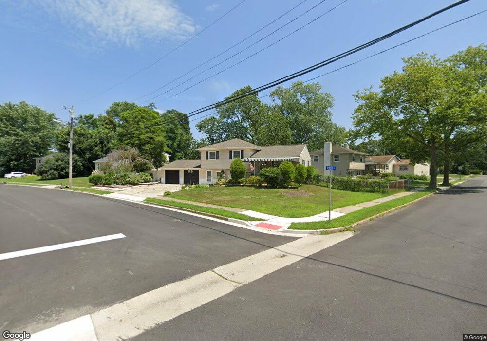
119 Devon Rd Somers Point, NJ 08244
Estimated Value: $336,286 - $478,000
Studio
--
Bath
1,583
Sq Ft
$273/Sq Ft
Est. Value
About This Home
This home is located at 119 Devon Rd, Somers Point, NJ 08244 and is currently estimated at $432,822, approximately $273 per square foot. 119 Devon Rd is a home located in Atlantic County with nearby schools including Mainland Regional High School, ChARTer TECH High School for the Performing Arts, and Saint Joseph Regional School.
Ownership History
Date
Name
Owned For
Owner Type
Purchase Details
Closed on
Mar 28, 1997
Sold by
Sylvester Stephen R and Sylvester Lois E
Bought by
Castronuovo Patrick S and Castronuovo Marie J
Current Estimated Value
Create a Home Valuation Report for This Property
The Home Valuation Report is an in-depth analysis detailing your home's value as well as a comparison with similar homes in the area
Home Values in the Area
Average Home Value in this Area
Purchase History
| Date | Buyer | Sale Price | Title Company |
|---|---|---|---|
| Castronuovo Patrick S | $124,900 | Commonwealth Land Title Ins |
Source: Public Records
Tax History
| Year | Tax Paid | Tax Assessment Tax Assessment Total Assessment is a certain percentage of the fair market value that is determined by local assessors to be the total taxable value of land and additions on the property. | Land | Improvement |
|---|---|---|---|---|
| 2025 | $7,067 | $204,600 | $67,400 | $137,200 |
| 2024 | $7,067 | $204,600 | $67,400 | $137,200 |
Source: Public Records
Map
Nearby Homes
Your Personal Tour Guide
Ask me questions while you tour the home.