Estimated Value: $247,340 - $354,000
2
Beds
1
Bath
1,568
Sq Ft
$185/Sq Ft
Est. Value
About This Home
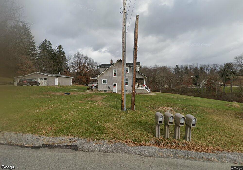
This home is located at 119 Dobson Rd, Mars, PA 16046 and is currently estimated at $289,835, approximately $184 per square foot. 119 Dobson Rd is a home located in Butler County with nearby schools including Mars Area Primary Center, Mars Area Elementary School, and Mars Area Centennial School.
Ownership History
Date
Name
Owned For
Owner Type
Purchase Details
Closed on
Aug 28, 2024
Sold by
Mcdonald Steven E and Mcdonald Linda E
Bought by
Steven Edward Mcdonald and Steven Linda Elaine
Current Estimated Value
Create a Home Valuation Report for This Property
The Home Valuation Report is an in-depth analysis detailing your home's value as well as a comparison with similar homes in the area
Home Values in the Area
Average Home Value in this Area
Purchase History
| Date | Buyer | Sale Price | Title Company |
|---|---|---|---|
| Steven Edward Mcdonald | -- | None Listed On Document |
Source: Public Records
Tax History
| Year | Tax Paid | Tax Assessment Tax Assessment Total Assessment is a certain percentage of the fair market value that is determined by local assessors to be the total taxable value of land and additions on the property. | Land | Improvement |
|---|---|---|---|---|
| 2025 | $1,878 | $13,380 | $2,190 | $11,190 |
| 2024 | $1,832 | $13,380 | $2,190 | $11,190 |
| 2023 | $1,772 | $13,350 | $2,160 | $11,190 |
| 2022 | $1,772 | $13,350 | $2,160 | $11,190 |
| 2021 | $1,772 | $13,350 | $0 | $0 |
| 2020 | $1,772 | $13,350 | $2,160 | $11,190 |
| 2019 | $1,772 | $13,350 | $2,160 | $11,190 |
| 2018 | $1,741 | $13,350 | $2,160 | $11,190 |
| 2017 | $1,741 | $13,350 | $2,160 | $11,190 |
| 2016 | $461 | $13,350 | $2,160 | $11,190 |
| 2015 | $271 | $13,350 | $2,160 | $11,190 |
| 2014 | $271 | $13,350 | $2,160 | $11,190 |
Source: Public Records
Map
Nearby Homes
- 111 Gray Ln
- 8008 Chief Way
- 8013 Chief Way
- 6056 Ruby Way
- 8020 Chief Way
- 6031 Ruby Way
- 532 Blackrock Blvd
- 200 Clark St
- 230 Crowe Ave
- 3001 Greeneview Ln
- 139 Olivia Ave
- 401 Blackstone Ln
- 110 Ridgetop Dr
- 710 Braddock Ct
- 819 Strasburg Dr
- 309 Dirkshire Ct
- 218 Myoma Rd
- 257 Stoup Rd
- 1004 Amy Place
- 904 Champlain Place
Your Personal Tour Guide
Ask me questions while you tour the home.