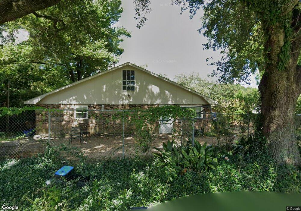
119 E Port St Deridder, LA 70634
Estimated Value: $79,291 - $208,000
6
Beds
3
Baths
2,517
Sq Ft
$47/Sq Ft
Est. Value
About This Home
This home is located at 119 E Port St, Deridder, LA 70634 and is currently estimated at $118,573, approximately $47 per square foot. 119 E Port St is a home located in Beauregard Parish with nearby schools including K.R. Hanchey Elementary School, Pine Wood Elementary School, and DeRidder Junior High School.
Ownership History
Date
Name
Owned For
Owner Type
Purchase Details
Closed on
Sep 21, 2021
Sold by
Wilmington Savings Fund Society Fsb
Bought by
Christian Roger and Christian Reva
Current Estimated Value
Purchase Details
Closed on
Jun 11, 2021
Sold by
Beauregard Parish Sheriff
Bought by
Everett Jamey Lewis
Create a Home Valuation Report for This Property
The Home Valuation Report is an in-depth analysis detailing your home's value as well as a comparison with similar homes in the area
Purchase History
| Date | Buyer | Sale Price | Title Company |
|---|---|---|---|
| Christian Roger | $74,001 | None Available | |
| Everett Jamey Lewis | $112,000 | None Available |
Source: Public Records
Tax History
| Year | Tax Paid | Tax Assessment Tax Assessment Total Assessment is a certain percentage of the fair market value that is determined by local assessors to be the total taxable value of land and additions on the property. | Land | Improvement |
|---|---|---|---|---|
| 2025 | $693 | $6,710 | $450 | $6,260 |
| 2024 | $689 | $6,710 | $450 | $6,260 |
| 2023 | $700 | $6,660 | $400 | $6,260 |
| 2022 | $699 | $6,660 | $400 | $6,260 |
| 2021 | $515 | $4,900 | $400 | $4,500 |
| 2020 | $514 | $4,900 | $400 | $4,500 |
| 2019 | $515 | $4,900 | $400 | $4,500 |
| 2018 | $515 | $4,900 | $400 | $4,500 |
| 2017 | $515 | $4,900 | $400 | $4,500 |
| 2016 | $515 | $4,900 | $400 | $4,500 |
| 2015 | $51 | $4,900 | $400 | $4,500 |
| 2014 | $51 | $4,900 | $400 | $4,500 |
Source: Public Records
Map
Nearby Homes
- 116 W Port St
- 0 Tbd Shirley St
- 501 Magnolia St
- 104 N Royal St
- 205 N Royal St
- 508 Magnolia St
- 507 E North St
- 0 S Pine St Unit 51-188
- 0 S Pine St Unit 2-5618
- 0 S Pine St Unit SWL25101883
- 401 Bon Ami St
- 613 W 1st St
- 801 Shirley St
- 601 S Helen St
- 605 Roberts St
- 0 S Texas St
- 112 S Texas St Unit S
- 115 N Texas St
- 811 S Washington St
- 129 Country Club Cir
- 103 Rouss St
- 117 W Port St
- 211 Moss St
- 116 Rouss St
- 216 Moss St
- 210 Moss St
- 308 Stephenson St
- 122 Rouss St
- 307 John Henry Jones St
- 208 Jefferson Ave
- 201 Mahlon St
- 311 Stephenson St
- 314 Stephenson St
- 307 Stephenson St
- 207 Mahlon St
- 315 Stephenson St
- 0 Rouss St
- 206 Rouss St
- 101 Mahlon St
- 320 Stephenson St
Your Personal Tour Guide
Ask me questions while you tour the home.