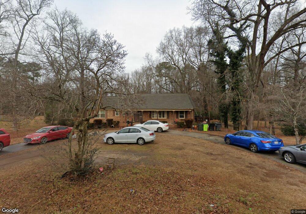
119 E Quail Ridge Rd Oxford, NC 27565
Estimated Value: $288,000 - $380,000
3
Beds
2
Baths
3,045
Sq Ft
$112/Sq Ft
Est. Value
About This Home
This home is located at 119 E Quail Ridge Rd, Oxford, NC 27565 and is currently estimated at $340,833, approximately $111 per square foot. 119 E Quail Ridge Rd is a home located in Granville County with nearby schools including West Oxford Elementary School, Northern Granville Middle School, and J.F. Webb High School.
Ownership History
Date
Name
Owned For
Owner Type
Purchase Details
Closed on
Jul 25, 2018
Sold by
Dickerson Anne B and Haskins Lauren Bullock
Bought by
Hamilton Ii Thomas F and Gendoes Natasha
Current Estimated Value
Home Financials for this Owner
Home Financials are based on the most recent Mortgage that was taken out on this home.
Original Mortgage
$186,558
Outstanding Balance
$162,038
Interest Rate
4.6%
Mortgage Type
FHA
Estimated Equity
$178,795
Create a Home Valuation Report for This Property
The Home Valuation Report is an in-depth analysis detailing your home's value as well as a comparison with similar homes in the area
Home Values in the Area
Average Home Value in this Area
Purchase History
| Date | Buyer | Sale Price | Title Company |
|---|---|---|---|
| Hamilton Ii Thomas F | $190,000 | None Available |
Source: Public Records
Mortgage History
| Date | Status | Borrower | Loan Amount |
|---|---|---|---|
| Open | Hamilton Ii Thomas F | $186,558 |
Source: Public Records
Tax History Compared to Growth
Tax History
| Year | Tax Paid | Tax Assessment Tax Assessment Total Assessment is a certain percentage of the fair market value that is determined by local assessors to be the total taxable value of land and additions on the property. | Land | Improvement |
|---|---|---|---|---|
| 2025 | $3,197 | $273,152 | $40,000 | $233,152 |
| 2024 | $3,197 | $273,152 | $40,000 | $233,152 |
| 2023 | $2,432 | $161,872 | $30,000 | $131,872 |
| 2022 | $2,487 | $161,872 | $30,000 | $131,872 |
| 2021 | $2,396 | $161,872 | $30,000 | $131,872 |
| 2020 | $2,396 | $161,872 | $30,000 | $131,872 |
| 2019 | $2,396 | $161,872 | $30,000 | $131,872 |
| 2018 | $1,198 | $161,872 | $30,000 | $131,872 |
| 2016 | $1,198 | $157,596 | $30,000 | $127,596 |
| 2015 | $1,158 | $157,596 | $30,000 | $127,596 |
| 2014 | $1,158 | $157,596 | $30,000 | $127,596 |
| 2013 | -- | $157,596 | $30,000 | $127,596 |
Source: Public Records
Map
Nearby Homes
- 206 Cardinal Ct
- 204 Cardinal Ct
- 106 Della St
- 96 North St
- 609 N Country Club Dr
- 316 Keeneland Dr
- 106 Keeneland Dr
- 115 W Quail Ridge Rd
- 113 Phocian St
- 103 Alston Ct
- 120 Clement Ave
- 43 Church St
- 114 Hays St
- 722 Baker St
- 105 W Thorndale Dr
- 201 Providence Rd
- 735 Baker St
- 611 College St
- 301 W Thorndale Dr
- 120 W College St
- 0 Quailridge Rd Unit Lot 1 TR2530516
- 0 Quailridge Rd Unit 2530516
- 0 Quailridge Rd Unit 15 TR1924989
- 0 Quailridge Rd Unit 1 TR1924990
- 0 Quailridge Rd Unit 6 TR1972004
- 121 E Quail Ridge Rd
- 117 E Quail Ridge Rd
- 212 Maplewood St
- 511 Harris St
- 0 Quailridge St Unit 15 TR1786366
- 0 Quailridge St Unit 1 TR1786365
- 210 Maplewood St
- 00 Cardinal Ct
- 123 E Quail Ridge Rd
- 111 Bob White Ct
- 507 Harris St
- 112 Robin Rd
- 212 Moreland Dr
- 209 Maplewood St
- 109 E Quail Ridge Rd