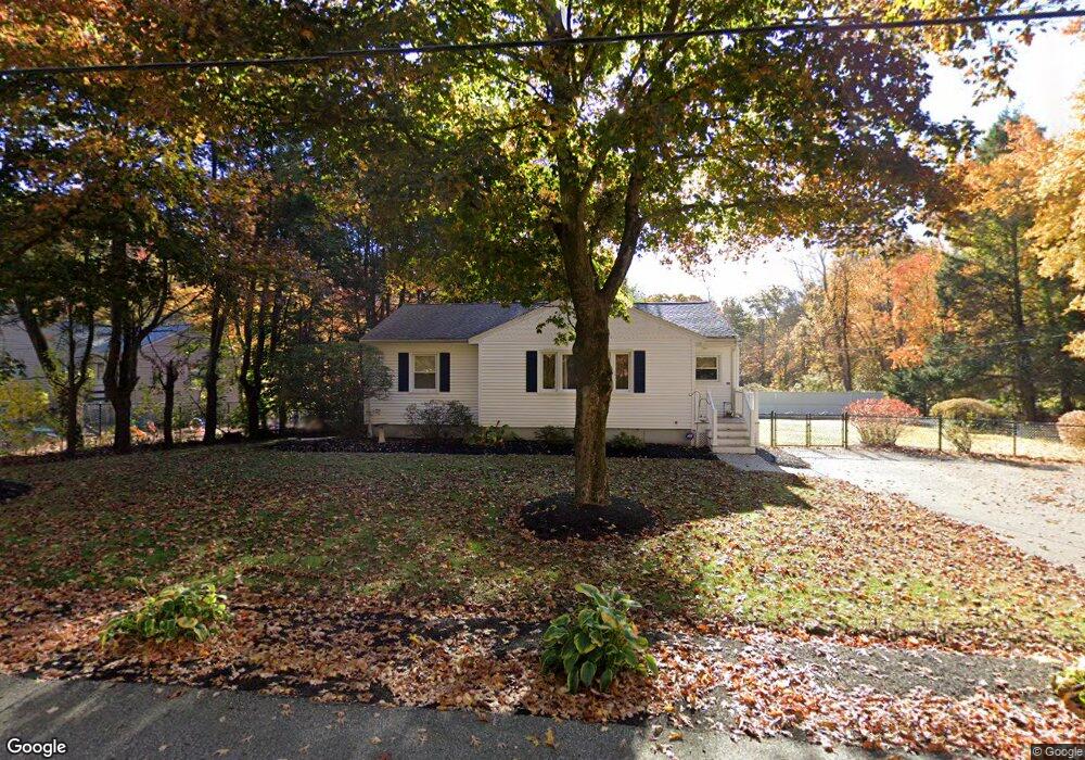
119 Eliot St Ashland, MA 01721
Estimated Value: $580,000 - $657,000
3
Beds
1
Bath
1,112
Sq Ft
$553/Sq Ft
Est. Value
About This Home
This home is located at 119 Eliot St, Ashland, MA 01721 and is currently estimated at $614,853, approximately $552 per square foot. 119 Eliot St is a home located in Middlesex County with nearby schools including William Pittaway Elementary School, Henry E. Warren Elementary School, and David Mindess Elementary School.
Ownership History
Date
Name
Owned For
Owner Type
Purchase Details
Closed on
Nov 4, 2002
Sold by
Cormier Anne K
Bought by
Turner Kerry G and Joy Sandra L
Current Estimated Value
Home Financials for this Owner
Home Financials are based on the most recent Mortgage that was taken out on this home.
Original Mortgage
$236,800
Interest Rate
6.09%
Mortgage Type
Purchase Money Mortgage
Purchase Details
Closed on
Jun 25, 1998
Sold by
Tramonte Oreste and Tramonte Tamara
Bought by
Provost Anne K
Home Financials for this Owner
Home Financials are based on the most recent Mortgage that was taken out on this home.
Original Mortgage
$152,550
Interest Rate
7.09%
Mortgage Type
Purchase Money Mortgage
Purchase Details
Closed on
Jul 17, 1995
Sold by
Thurber Ann M
Bought by
Tramonte Oreste and Tramonte Tamara
Purchase Details
Closed on
Mar 31, 1992
Sold by
Earnhart Daniel B
Bought by
Capobianco Ann M
Create a Home Valuation Report for This Property
The Home Valuation Report is an in-depth analysis detailing your home's value as well as a comparison with similar homes in the area
Home Values in the Area
Average Home Value in this Area
Purchase History
| Date | Buyer | Sale Price | Title Company |
|---|---|---|---|
| Turner Kerry G | $300,000 | -- | |
| Provost Anne K | $169,500 | -- | |
| Tramonte Oreste | $149,900 | -- | |
| Capobianco Ann M | $130,000 | -- |
Source: Public Records
Mortgage History
| Date | Status | Borrower | Loan Amount |
|---|---|---|---|
| Open | Capobianco Ann M | $239,000 | |
| Closed | Turner Kerry G | $236,800 | |
| Previous Owner | Capobianco Ann M | $22,000 | |
| Previous Owner | Capobianco Ann M | $152,550 |
Source: Public Records
Tax History Compared to Growth
Tax History
| Year | Tax Paid | Tax Assessment Tax Assessment Total Assessment is a certain percentage of the fair market value that is determined by local assessors to be the total taxable value of land and additions on the property. | Land | Improvement |
|---|---|---|---|---|
| 2025 | $6,789 | $531,600 | $233,300 | $298,300 |
| 2024 | $6,693 | $505,500 | $233,300 | $272,200 |
| 2023 | $6,238 | $453,000 | $222,100 | $230,900 |
| 2022 | $6,392 | $402,500 | $201,800 | $200,700 |
| 2021 | $6,030 | $378,500 | $201,800 | $176,700 |
| 2020 | $5,819 | $360,100 | $204,000 | $156,100 |
| 2019 | $5,587 | $343,200 | $204,000 | $139,200 |
| 2018 | $5,423 | $326,500 | $202,000 | $124,500 |
| 2017 | $5,291 | $316,800 | $198,100 | $118,700 |
| 2016 | $5,041 | $296,500 | $193,000 | $103,500 |
| 2015 | $4,747 | $274,400 | $180,300 | $94,100 |
| 2014 | $4,706 | $270,600 | $161,000 | $109,600 |
Source: Public Records
Map
Nearby Homes
- 120 Prospect St
- 8 Raymond Way
- 277 Meeting House Path
- 97 Meeting House Path Unit 97
- 6 New Castle Rd
- 74 Meeting House Path
- 72 Meeting House Path
- 49 Prospect St
- 157 Leland Farm Rd
- 25 Prospect St
- 102 Captain Eames Cir
- 63 Trailside Way Unit 63
- 152 Turner Rd Unit 43
- 152 Turner Rd Unit 14
- 147 Turner Rd Unit 80
- 24 Old Connecticut Path
- 67 Spyglass Hill Dr
- 84 E Bluff Rd
- 76 Algonquin Trail
- 306 Trailside Way