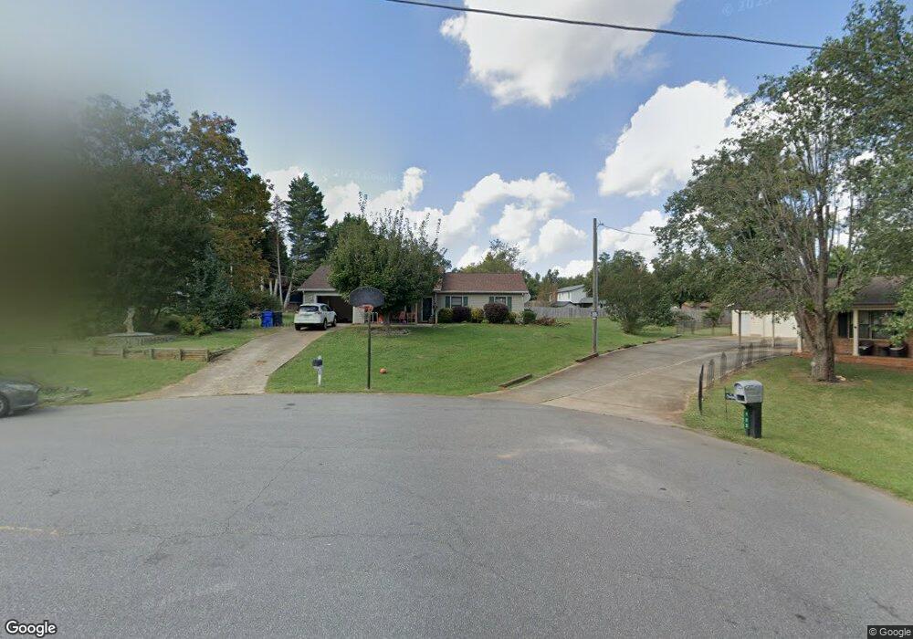
119 Foxfire Ct Statesville, NC 28625
Estimated Value: $276,000 - $300,000
3
Beds
2
Baths
1,742
Sq Ft
$163/Sq Ft
Est. Value
About This Home
This home is located at 119 Foxfire Ct, Statesville, NC 28625 and is currently estimated at $283,861, approximately $162 per square foot. 119 Foxfire Ct is a home located in Iredell County with nearby schools including Cloverleaf Elementary School, East Iredell Middle School, and North Iredell High School.
Ownership History
Date
Name
Owned For
Owner Type
Purchase Details
Closed on
Jun 4, 2008
Sold by
Mahtani Ramesh H and Mahtani Seema
Bought by
Mahtani Lal H and Mahtani Sapna
Current Estimated Value
Home Financials for this Owner
Home Financials are based on the most recent Mortgage that was taken out on this home.
Original Mortgage
$107,200
Interest Rate
6%
Mortgage Type
Purchase Money Mortgage
Purchase Details
Closed on
Apr 4, 2008
Sold by
Mahtani Ramesh H and Mahtani Seema R
Bought by
Mahtani Lal H and Mahtani Sapna
Purchase Details
Closed on
Nov 1, 1997
Purchase Details
Closed on
Aug 1, 1984
Create a Home Valuation Report for This Property
The Home Valuation Report is an in-depth analysis detailing your home's value as well as a comparison with similar homes in the area
Home Values in the Area
Average Home Value in this Area
Purchase History
| Date | Buyer | Sale Price | Title Company |
|---|---|---|---|
| Mahtani Lal H | $134,000 | None Available | |
| Mahtani Ramesh | -- | None Available | |
| Mahtani Lal H | -- | None Available | |
| -- | $81,500 | -- | |
| -- | $51,500 | -- |
Source: Public Records
Mortgage History
| Date | Status | Borrower | Loan Amount |
|---|---|---|---|
| Closed | Mahtani Ramesh | $107,200 |
Source: Public Records
Tax History Compared to Growth
Tax History
| Year | Tax Paid | Tax Assessment Tax Assessment Total Assessment is a certain percentage of the fair market value that is determined by local assessors to be the total taxable value of land and additions on the property. | Land | Improvement |
|---|---|---|---|---|
| 2024 | $1,187 | $190,950 | $18,000 | $172,950 |
| 2023 | $1,187 | $190,950 | $18,000 | $172,950 |
| 2022 | $866 | $128,440 | $16,000 | $112,440 |
| 2021 | $862 | $128,440 | $16,000 | $112,440 |
| 2020 | $862 | $128,440 | $16,000 | $112,440 |
| 2019 | $849 | $128,440 | $16,000 | $112,440 |
| 2018 | $758 | $118,240 | $16,000 | $102,240 |
| 2017 | $758 | $118,240 | $16,000 | $102,240 |
| 2016 | $758 | $118,240 | $16,000 | $102,240 |
| 2015 | $758 | $118,240 | $16,000 | $102,240 |
| 2014 | $707 | $117,960 | $16,000 | $101,960 |
Source: Public Records
Map
Nearby Homes
- 131 Little Forest Ln
- 155 Brookview Rd
- 116 Green Meadow Ln
- 209 Brookview Rd
- 678 Turnersburg Hwy
- 587 Jane Sowers Rd
- 158 W Meadowview Dr
- 160 Tarrington Dr
- 139 Valencia Ln
- 105 Rock Ave
- 141 Altondale Dr
- 201 Tarrington Dr
- 109 Oconee Trail
- Lawson Plan at Sullivan Farm
- Frost Plan at Sullivan Farm
- Dickenson Plan at Sullivan Farm
- Whitman Plan at Sullivan Farm
- Crane Plan at Sullivan Farm
- Emerson Plan at Sullivan Farm
- 129 Renaissance Place
- 123 Foxfire Ct
- 113 Foxfire Ct
- 178 Carl Austin Rd
- 174 Carl Austin Rd
- 174 Carl Austin Rd Unit 20
- 182 Carl Austin Rd
- 109 Foxfire Ct
- 168 Carl Austin Rd
- 114 Foxfire Ct
- 192 Carl Austin Rd
- 190 Carl Austin Rd
- 110 Foxfire Ct
- 185 Carl Austin Rd
- 164 Carl Austin Rd
- 117 Danbury Ln
- 127 Danbury Ln
- 193 Carl Austin Rd
- 193 Carl Austin Rd Unit 2
- 160 Carl Austin Rd
- 179 Carl Austin Rd