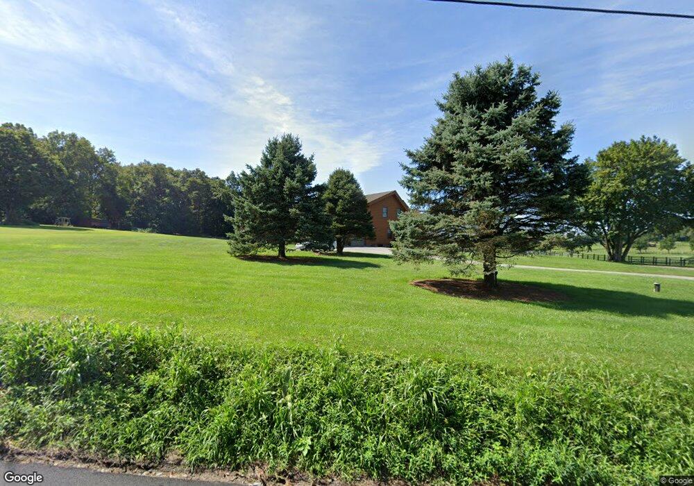
119 Grove Rd Elverson, PA 19520
Warwick NeighborhoodEstimated Value: $455,000 - $638,000
3
Beds
3
Baths
2,140
Sq Ft
$258/Sq Ft
Est. Value
About This Home
This home is located at 119 Grove Rd, Elverson, PA 19520 and is currently estimated at $551,493, approximately $257 per square foot. 119 Grove Rd is a home located in Chester County with nearby schools including French Creek Elementary School, Owen J Roberts Middle School, and Owen J Roberts High School.
Ownership History
Date
Name
Owned For
Owner Type
Purchase Details
Closed on
Dec 18, 2009
Sold by
Swinehart Robert Jason and Swinehart Robert Clyde
Bought by
Swinehart Robert J and Swinehart Shara J
Current Estimated Value
Home Financials for this Owner
Home Financials are based on the most recent Mortgage that was taken out on this home.
Original Mortgage
$333,000
Outstanding Balance
$231,074
Interest Rate
5.62%
Mortgage Type
Future Advance Clause Open End Mortgage
Estimated Equity
$320,419
Purchase Details
Closed on
Aug 22, 2001
Sold by
Swinehart Morris Clyde and Swinehart Joyce Marie
Bought by
Swinehart Robert Jason and Swinehart Robert Clyde
Purchase Details
Closed on
Sep 4, 1997
Sold by
Swinehart Morris Clyde and Swinehart Joyce Marie
Bought by
Tate Brian and Tate Karen
Create a Home Valuation Report for This Property
The Home Valuation Report is an in-depth analysis detailing your home's value as well as a comparison with similar homes in the area
Home Values in the Area
Average Home Value in this Area
Purchase History
| Date | Buyer | Sale Price | Title Company |
|---|---|---|---|
| Swinehart Robert J | -- | None Available | |
| Swinehart Robert Jason | -- | -- | |
| Tate Brian | $44,700 | -- |
Source: Public Records
Mortgage History
| Date | Status | Borrower | Loan Amount |
|---|---|---|---|
| Open | Swinehart Robert J | $333,000 |
Source: Public Records
Tax History Compared to Growth
Tax History
| Year | Tax Paid | Tax Assessment Tax Assessment Total Assessment is a certain percentage of the fair market value that is determined by local assessors to be the total taxable value of land and additions on the property. | Land | Improvement |
|---|---|---|---|---|
| 2025 | $8,118 | $207,750 | $78,760 | $128,990 |
| 2024 | $8,118 | $207,750 | $78,760 | $128,990 |
| 2023 | $7,994 | $207,750 | $78,760 | $128,990 |
| 2022 | $7,858 | $207,750 | $78,760 | $128,990 |
| 2021 | $7,757 | $207,750 | $78,760 | $128,990 |
| 2020 | $7,546 | $207,750 | $78,760 | $128,990 |
| 2019 | $7,397 | $207,750 | $78,760 | $128,990 |
| 2018 | $7,245 | $207,750 | $78,760 | $128,990 |
| 2017 | $7,063 | $207,750 | $78,760 | $128,990 |
| 2016 | $5,877 | $207,750 | $78,760 | $128,990 |
| 2015 | $5,877 | $207,750 | $78,760 | $128,990 |
| 2014 | $5,877 | $207,750 | $78,760 | $128,990 |
Source: Public Records
Map
Nearby Homes
- 156 Grove Rd
- 0 Ridge Rd Unit PACT2075358
- 100 Warwick Rd
- 54 Morningside Rd
- 332 Reading Furnace Rd
- 11 Brownstone Ln
- 270 Laurel Rd
- 448 Bulltown Rd
- 87 Brownstone Ln
- 63 Brownstone Ln
- 103 Orchard Hill Ln
- 957 Mount Pleasant Rd
- 319 Ironstone Ln
- 1940 Ridge Rd
- 225 Ironstone Ln
- 2039 School Rd
- 370 Hopewell Rd
- 59 Hopewell Rd
- 40 Chanticleer Dr
- 26 Millstone Ln