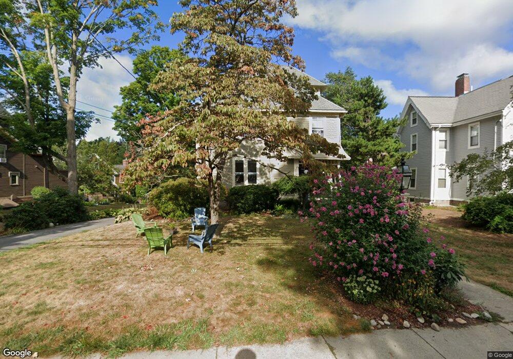
119 Hancock St Auburndale, MA 02466
Auburndale NeighborhoodEstimated Value: $2,105,000 - $2,185,000
5
Beds
3
Baths
3,893
Sq Ft
$552/Sq Ft
Est. Value
About This Home
This home is located at 119 Hancock St, Auburndale, MA 02466 and is currently estimated at $2,148,291, approximately $551 per square foot. 119 Hancock St is a home located in Middlesex County with nearby schools including Williams Elementary School, Charles E Brown Middle School, and Newton South High School.
Ownership History
Date
Name
Owned For
Owner Type
Purchase Details
Closed on
Apr 30, 2008
Sold by
Connolly Catherine F and Connolly Thomas J
Bought by
Giesser Erin C and Giesser John L
Current Estimated Value
Home Financials for this Owner
Home Financials are based on the most recent Mortgage that was taken out on this home.
Original Mortgage
$912,000
Outstanding Balance
$580,880
Interest Rate
5.99%
Mortgage Type
Purchase Money Mortgage
Estimated Equity
$1,567,411
Create a Home Valuation Report for This Property
The Home Valuation Report is an in-depth analysis detailing your home's value as well as a comparison with similar homes in the area
Home Values in the Area
Average Home Value in this Area
Purchase History
| Date | Buyer | Sale Price | Title Company |
|---|---|---|---|
| Giesser Erin C | $1,140,000 | -- |
Source: Public Records
Mortgage History
| Date | Status | Borrower | Loan Amount |
|---|---|---|---|
| Open | Giesser Erin C | $912,000 |
Source: Public Records
Tax History Compared to Growth
Tax History
| Year | Tax Paid | Tax Assessment Tax Assessment Total Assessment is a certain percentage of the fair market value that is determined by local assessors to be the total taxable value of land and additions on the property. | Land | Improvement |
|---|---|---|---|---|
| 2025 | $19,396 | $1,979,200 | $962,200 | $1,017,000 |
| 2024 | $18,755 | $1,921,600 | $934,200 | $987,400 |
| 2023 | $17,220 | $1,691,600 | $717,000 | $974,600 |
| 2022 | $16,477 | $1,566,300 | $663,900 | $902,400 |
| 2021 | $15,899 | $1,477,600 | $626,300 | $851,300 |
| 2020 | $15,426 | $1,477,600 | $626,300 | $851,300 |
| 2019 | $14,992 | $1,434,600 | $608,100 | $826,500 |
| 2018 | $14,497 | $1,339,800 | $552,000 | $787,800 |
| 2017 | $13,755 | $1,237,000 | $520,800 | $716,200 |
| 2016 | $13,156 | $1,156,100 | $486,700 | $669,400 |
| 2015 | $12,545 | $1,080,500 | $454,900 | $625,600 |
Source: Public Records
Map
Nearby Homes
- 17 Lasell St
- 27 Oakwood Rd
- 2202 Commonwealth Ave Unit 2
- 2202 Commonwealth Ave Unit 1
- 283 Melrose St
- 224 Auburn St Unit 224
- 224 Auburn St Unit A
- 226 Auburn St Unit 226
- 283 Woodland Rd
- 1754 Washington St
- 13 Weir St
- 62-64 Rowe St Unit B
- 17 Deforest Rd
- 1639 Washington St
- 51 Bourne St
- 17 Gilbert St
- 17 Crescent St
- 160 Pine St Unit 12
- 49 Staniford St
- 0 Duncan Rd Unit 72925240