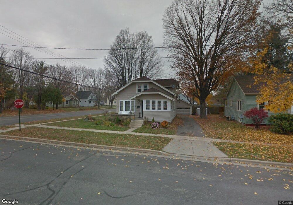
119 Hanover St Mauston, WI 53948
Estimated Value: $130,000 - $196,000
Studio
--
Bath
--
Sq Ft
6,011
Sq Ft Lot Lot
About This Home
This home is located at 119 Hanover St, Mauston, WI 53948 and is currently estimated at $154,200. 119 Hanover St is a home located in Juneau County with nearby schools including West Side Elementary School, Lyndon Station Elementary School, and Grayside Elementary School.
Ownership History
Date
Name
Owned For
Owner Type
Purchase Details
Closed on
Sep 14, 2011
Sold by
Dvorak Donald L
Bought by
Murphy Kim A
Current Estimated Value
Purchase Details
Closed on
Aug 10, 2006
Sold by
Brockman Mark O
Bought by
Dvorak Donaldl Andbarbaraj
Purchase Details
Closed on
Jul 8, 2005
Sold by
Brockman Mark O
Bought by
Brockman Mark O
Create a Home Valuation Report for This Property
The Home Valuation Report is an in-depth analysis detailing your home's value as well as a comparison with similar homes in the area
Home Values in the Area
Average Home Value in this Area
Purchase History
| Date | Buyer | Sale Price | Title Company |
|---|---|---|---|
| Murphy Kim A | $86,000 | -- | |
| Dvorak Donaldl Andbarbaraj | $86,000 | -- | |
| Brockman Mark O | $59,000 | -- |
Source: Public Records
Tax History
| Year | Tax Paid | Tax Assessment Tax Assessment Total Assessment is a certain percentage of the fair market value that is determined by local assessors to be the total taxable value of land and additions on the property. | Land | Improvement |
|---|---|---|---|---|
| 2025 | $2,076 | $88,000 | $7,900 | $80,100 |
| 2024 | $1,868 | $78,200 | $7,900 | $70,300 |
| 2023 | $1,695 | $78,200 | $7,900 | $70,300 |
| 2022 | $1,671 | $78,200 | $7,900 | $70,300 |
| 2021 | $1,596 | $54,100 | $6,600 | $47,500 |
| 2020 | $1,560 | $54,100 | $6,600 | $47,500 |
| 2019 | $1,542 | $54,100 | $6,600 | $47,500 |
| 2018 | $1,670 | $54,100 | $6,600 | $47,500 |
| 2017 | $1,479 | $54,100 | $6,600 | $47,500 |
| 2016 | $1,501 | $54,100 | $6,600 | $47,500 |
| 2015 | $1,647 | $54,100 | $6,600 | $47,500 |
| 2014 | $1,393 | $54,100 | $6,600 | $47,500 |
| 2013 | $1,448 | $54,100 | $6,600 | $47,500 |
Source: Public Records
Map
Nearby Homes
- 0 Fleet St Unit 1978417
- 314 W State St
- 234 Tremont St
- 509 Martin St
- 515 Martin St
- 506 W State St
- 405 West Ave
- 12.35 AC Highway 58 Trunk
- 504 Jones St
- L5 Buttner Ct
- 134 Attewell St Unit 8
- 435 S Union St
- 712 La Crosse St
- 725 Turner Dr
- 811 S Hickory St
- 813 S Hickory St
- L31 Heath Ct
- 926 Elm St
- 5.12 Ac College Ave
- 125+/- AC North Rd
Your Personal Tour Guide
Ask me questions while you tour the home.