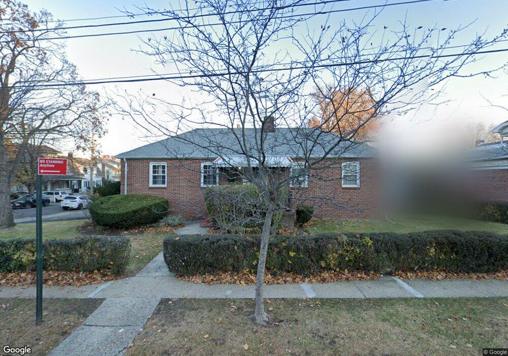
119 Harvest Ave Staten Island, NY 10310
West Brighton NeighborhoodEstimated Value: $684,711 - $847,000
--
Bed
4
Baths
1,200
Sq Ft
$656/Sq Ft
Est. Value
About This Home
This home is located at 119 Harvest Ave, Staten Island, NY 10310 and is currently estimated at $786,928, approximately $655 per square foot. 119 Harvest Ave is a home located in Richmond County with nearby schools including P.S. 45 John Tyler, Is 61 William A Morris, and Curtis High School.
Ownership History
Date
Name
Owned For
Owner Type
Purchase Details
Closed on
Jun 18, 1998
Sold by
Werthman Mary P and Werthman Gustave J
Bought by
Werthman Mary P and Blum Diane
Current Estimated Value
Create a Home Valuation Report for This Property
The Home Valuation Report is an in-depth analysis detailing your home's value as well as a comparison with similar homes in the area
Home Values in the Area
Average Home Value in this Area
Purchase History
| Date | Buyer | Sale Price | Title Company |
|---|---|---|---|
| Werthman Mary P | -- | The Title Guarantee Company |
Source: Public Records
Tax History Compared to Growth
Tax History
| Year | Tax Paid | Tax Assessment Tax Assessment Total Assessment is a certain percentage of the fair market value that is determined by local assessors to be the total taxable value of land and additions on the property. | Land | Improvement |
|---|---|---|---|---|
| 2025 | $6,542 | $43,680 | $12,752 | $30,928 |
| 2024 | $6,542 | $38,640 | $14,415 | $24,225 |
| 2023 | $6,457 | $31,795 | $12,082 | $19,713 |
| 2022 | $6,088 | $40,320 | $17,100 | $23,220 |
| 2021 | $6,055 | $42,480 | $17,100 | $25,380 |
| 2020 | $5,746 | $41,640 | $17,100 | $24,540 |
| 2019 | $5,678 | $36,180 | $17,100 | $19,080 |
| 2018 | $5,401 | $26,496 | $12,259 | $14,237 |
| 2017 | $5,181 | $25,415 | $15,378 | $10,037 |
| 2016 | $4,793 | $23,977 | $15,495 | $8,482 |
| 2015 | $4,341 | $22,620 | $14,580 | $8,040 |
| 2014 | $4,341 | $22,620 | $14,580 | $8,040 |
Source: Public Records
Map
Nearby Homes
- 152 Harvest Ave
- 100 Lawrence Ave
- 34 Harvest Ave
- 20 Baker Place
- 677 Bement Ave
- 605 Bard Ave
- 54 City Blvd
- 432 Pelton Ave
- 710 Oakland Ave
- 145 Norma Place
- 244 Delafield Ave
- 1 Whitewood Ave
- 751 Oakland Ave
- 372 Sharon Ave
- 386 N Burgher Ave
- 706 Broadway
- 1 Sunset Hill Dr
- 12 Freeman Place
- 54 Purcell St
- 335 Oakland Ave
- 569 Oakland Ave
- 565 Oakland Ave
- 111 Harvest Ave
- 592 Pelton Ave
- 583 Oakland Ave
- 561 Oakland Ave
- 576 Oakland Ave
- 110 Harvest Ave
- 588 Pelton Ave
- 574 Oakland Ave
- 587 Oakland Ave
- 557 Oakland Ave
- 564 Oakland Ave
- 614 Pelton Ave
- 140 Harvest Ave
- 582 Pelton Ave
- 560 Oakland Ave
- 584 Oakland Ave
- 591 Oakland Ave
- 141 Harvest Ave