119 Hawks Way Waynesville, GA 31566
Estimated Value: $230,000 - $243,000
3
Beds
2
Baths
1,730
Sq Ft
$137/Sq Ft
Est. Value
About This Home
This home is located at 119 Hawks Way, Waynesville, GA 31566 and is currently estimated at $236,332, approximately $136 per square foot. 119 Hawks Way is a home with nearby schools including Waynesville Primary School, Atkinson Elementary School, and Brantley County Middle School.
Ownership History
Date
Name
Owned For
Owner Type
Purchase Details
Closed on
Sep 10, 2010
Sold by
Primesouth Bank
Bought by
Hawks Landing Development Company Inc
Current Estimated Value
Home Financials for this Owner
Home Financials are based on the most recent Mortgage that was taken out on this home.
Original Mortgage
$134,816
Outstanding Balance
$88,946
Interest Rate
4.5%
Mortgage Type
FHA
Estimated Equity
$147,386
Create a Home Valuation Report for This Property
The Home Valuation Report is an in-depth analysis detailing your home's value as well as a comparison with similar homes in the area
Home Values in the Area
Average Home Value in this Area
Purchase History
| Date | Buyer | Sale Price | Title Company |
|---|---|---|---|
| Hawks Landing Development Company Inc | -- | -- | |
| Carter Gary D | $136,656 | -- |
Source: Public Records
Mortgage History
| Date | Status | Borrower | Loan Amount |
|---|---|---|---|
| Open | Carter Gary D | $134,816 |
Source: Public Records
Tax History Compared to Growth
Tax History
| Year | Tax Paid | Tax Assessment Tax Assessment Total Assessment is a certain percentage of the fair market value that is determined by local assessors to be the total taxable value of land and additions on the property. | Land | Improvement |
|---|---|---|---|---|
| 2024 | $2,000 | $78,150 | $1,785 | $76,365 |
| 2023 | $2,006 | $78,150 | $1,785 | $76,365 |
| 2022 | $1,988 | $79,965 | $4,200 | $75,765 |
| 2021 | $1,802 | $50,660 | $4,200 | $46,460 |
| 2020 | $1,853 | $50,660 | $4,200 | $46,460 |
| 2019 | $1,851 | $50,660 | $4,200 | $46,460 |
| 2018 | $1,715 | $50,660 | $4,200 | $46,460 |
| 2017 | $1,715 | $50,660 | $4,200 | $46,460 |
| 2016 | $1,914 | $50,660 | $4,200 | $46,460 |
| 2015 | $2,199 | $50,660 | $4,200 | $46,460 |
| 2014 | $2,199 | $54,860 | $8,400 | $46,460 |
Source: Public Records
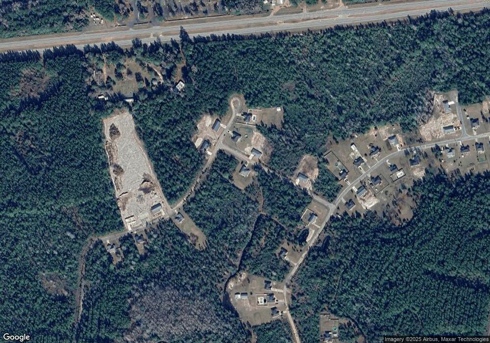
Map
Nearby Homes
- 53 Hawks Landing Dr
- 48 Hawks Way
- 123 Daniel St
- 0 Joseph Wiggins Mineral Springs Rd Rd Unit 1615893
- 781 Stafford Rd
- 544 Mineral Springs Rd
- 1089 Picketts Mill Trail
- 121 Red Gate Rd
- 227 Fred Ave
- V/L 41 Fox Ridge
- V/L 42 Fox Ridge
- V/L 43 Fox Ridge
- V/L 40 Fox Ridge
- Lot 80 Picketts Mill Trail
- 267 Clinton Ave
- Lot 93 Picketts Mill Trail
- Lot 91 Picketts Mill Trail
- Off Dogwood Rd
- 7535 Browntown Rd
- Lot 88 Picketts Mill Trail
- 126 Hawks Way
- 966 Red Hawk Dr
- 779 Red Hawk Dr
- 992 Red Hawk Dr
- 803 Red Hawk Dr
- 967 Red Hawk Dr
- 941 Red Hawk Dr
- 334 Hawks Landing Dr
- 844 Red Hawk Dr
- 405 Hawks Landing Dr
- 278 Hawks Landing Dr
- 110 Red Hawk Ct
- 124 Red Hawk Ct
- 101 Red Hawk Ct
- 442 Hawks Landing Dr
- 252 Hawks Landing Dr
- 13 Hawks Landing Dr
- 753 Red Hawk Dr
- 301 Hawks Landing Dr
- 37 Red Hawk Ct