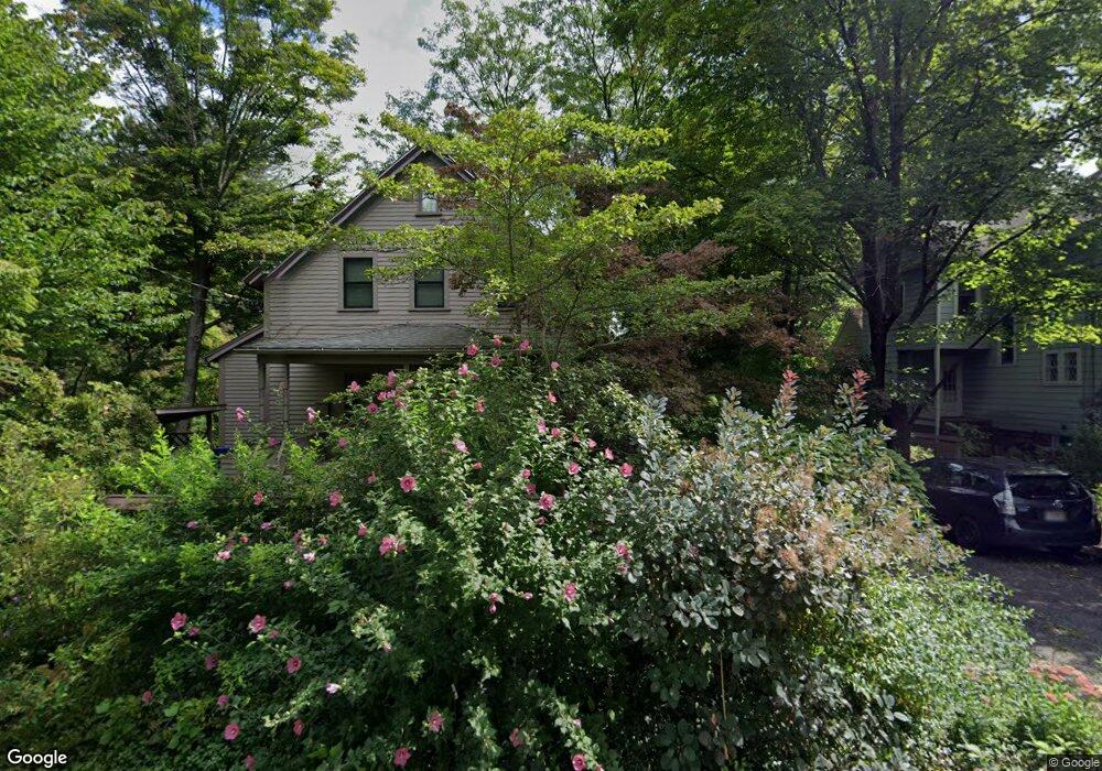
119 High St Amherst, MA 01002
Estimated Value: $526,900 - $729,000
4
Beds
3
Baths
1,529
Sq Ft
$419/Sq Ft
Est. Value
About This Home
This home is located at 119 High St, Amherst, MA 01002 and is currently estimated at $640,975, approximately $419 per square foot. 119 High St is a home with nearby schools including Wildwood Elementary School, Amherst Regional Middle School, and Amherst Regional High School.
Create a Home Valuation Report for This Property
The Home Valuation Report is an in-depth analysis detailing your home's value as well as a comparison with similar homes in the area
Home Values in the Area
Average Home Value in this Area
Tax History
| Year | Tax Paid | Tax Assessment Tax Assessment Total Assessment is a certain percentage of the fair market value that is determined by local assessors to be the total taxable value of land and additions on the property. | Land | Improvement |
|---|---|---|---|---|
| 2025 | $85 | $470,900 | $203,500 | $267,400 |
| 2024 | $8,237 | $445,000 | $192,000 | $253,000 |
| 2023 | $7,899 | $393,000 | $174,600 | $218,400 |
| 2022 | $7,485 | $351,900 | $158,700 | $193,200 |
| 2021 | $7,150 | $327,700 | $147,100 | $180,600 |
| 2020 | $6,987 | $327,700 | $147,100 | $180,600 |
| 2019 | $6,830 | $313,300 | $147,100 | $166,200 |
| 2018 | $6,623 | $313,300 | $147,100 | $166,200 |
| 2017 | $6,647 | $304,500 | $140,100 | $164,400 |
| 2016 | $6,461 | $304,500 | $140,100 | $164,400 |
| 2015 | $6,254 | $304,500 | $140,100 | $164,400 |
Source: Public Records
Map
Nearby Homes
- 0 Red Gate Ln Unit 73348273
- 242 N East St Unit 24
- 0 Main St
- 50 Mount Pleasant
- 32 N Prospect St Unit 5
- 174 Lincoln Ave
- 75 Amity Place Unit 75
- 60 Amity Place
- 310 Belchertown Rd
- 0 Heatherstone Rd
- 0 Amherst Rd
- 185 Cherry Ln
- 10 Eaton Ct
- 12 Kettle Pond Rd
- 228 Aubinwood Rd
- 9 Harkness Rd
- 204 Aubinwood Rd
- 24 Greenleaves Dr Unit 418
- 30 Greenleaves Dr
- 26 Greenleaves Dr Unit 635
Your Personal Tour Guide
Ask me questions while you tour the home.