119 Hoyt Rd Milner, GA 30257
Estimated Value: $253,633 - $273,000
3
Beds
2
Baths
1,188
Sq Ft
$219/Sq Ft
Est. Value
About This Home
This home is located at 119 Hoyt Rd, Milner, GA 30257 and is currently estimated at $260,658, approximately $219 per square foot. 119 Hoyt Rd is a home located in Lamar County with nearby schools including Lamar County Primary School, Lamar County Elementary School, and Lamar County Middle School.
Ownership History
Date
Name
Owned For
Owner Type
Purchase Details
Closed on
Jan 20, 2012
Bought by
George Terri D
Current Estimated Value
Purchase Details
Closed on
Sep 6, 2011
Sold by
Citimortgage Inc
Bought by
Federal National Mtg
Purchase Details
Closed on
Nov 30, 2000
Sold by
Griffin Remodeling
Bought by
Dal Porto Gregory Ni
Purchase Details
Closed on
Dec 30, 1999
Sold by
Morgan W A
Bought by
Griffin Remodeling
Create a Home Valuation Report for This Property
The Home Valuation Report is an in-depth analysis detailing your home's value as well as a comparison with similar homes in the area
Home Values in the Area
Average Home Value in this Area
Purchase History
| Date | Buyer | Sale Price | Title Company |
|---|---|---|---|
| George Terri D | $57,450 | -- | |
| Federal National Mtg | $85,916 | -- | |
| Citimortgage Inc | $85,916 | -- | |
| Dal Porto Gregory Ni | $88,000 | -- | |
| Griffin Remodeling | $38,000 | -- |
Source: Public Records
Tax History Compared to Growth
Tax History
| Year | Tax Paid | Tax Assessment Tax Assessment Total Assessment is a certain percentage of the fair market value that is determined by local assessors to be the total taxable value of land and additions on the property. | Land | Improvement |
|---|---|---|---|---|
| 2024 | $1,868 | $74,877 | $17,391 | $57,486 |
| 2023 | $2,145 | $79,607 | $17,391 | $62,216 |
| 2022 | $1,794 | $66,888 | $10,860 | $56,028 |
| 2021 | $1,629 | $56,099 | $10,860 | $45,239 |
| 2020 | $1,584 | $51,947 | $8,847 | $43,100 |
| 2019 | $1,420 | $46,645 | $8,847 | $37,798 |
| 2018 | $1,363 | $46,645 | $8,847 | $37,798 |
| 2017 | $1,356 | $46,645 | $8,847 | $37,798 |
| 2016 | $1,357 | $46,645 | $8,847 | $37,798 |
| 2015 | $1,352 | $46,646 | $8,847 | $37,798 |
| 2014 | $1,310 | $46,646 | $8,847 | $37,798 |
| 2013 | -- | $41,236 | $8,847 | $32,388 |
Source: Public Records
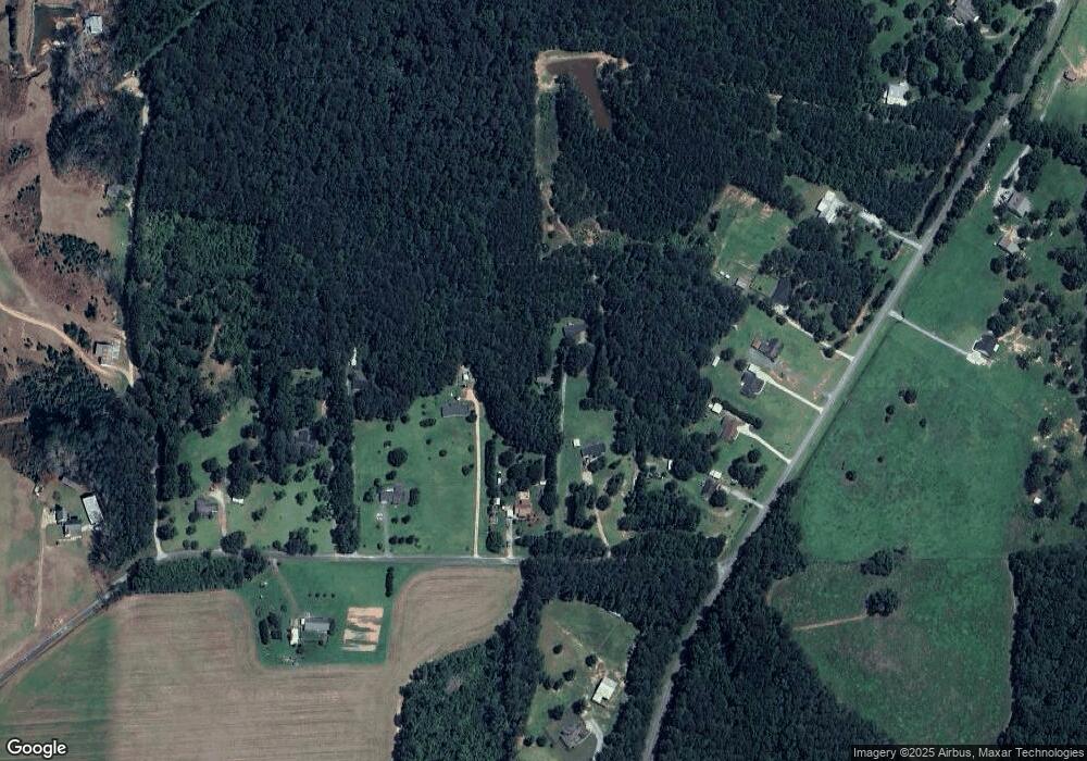
Map
Nearby Homes
- 185 Cauthen Rd
- 0 Martin Dairy Rd Unit 10595359
- 402 Tom Bell Rd
- 215 Brown Springs Rd
- 340 Tom Bell Rd
- 121 Grape Creek Rd
- 0 Trice Rd Unit 10284703
- 171 Ridgeway Rd
- 359 Martin Dairy Rd
- 782 Mckenzie Rd
- 134 Mathews Rd
- 381 Martin Dairy Rd
- 166 Mathews Rd
- 164 Mathews Rd
- 162 Mathews Rd
- 168 Mathews Rd
- 1468 Highway 41 N
- 105 Russell Rd
- 117 Zebulon St
- 105 Zebulon St
- 113 Hoyt Rd
- 133 Hoyt Rd
- 562 Mckenzie Rd
- 568 Mckenzie Rd
- 125 Hoyt Rd
- 0 Mckenzie Rd Unit 5 7487123
- 0 Mckenzie Rd Unit 4 7487116
- 0 Mckenzie Rd Unit 3 7487106
- 0 Mckenzie Rd Unit 5 7605870
- 0 Mckenzie Rd Unit 4 7605868
- 0 Mckenzie Rd Unit 3 7605866
- 0 Mckenzie Rd Unit 10391175
- 0 Mckenzie Rd Unit 10145054
- 0 Mckenzie Rd Unit 20094406
- 0 Mckenzie Rd Unit 20051852
- 0 Mckenzie Rd Unit 9032204
- 0 Mckenzie Rd Unit 8947483
- 0 Mckenzie Rd Unit 8942638
- 0 Mckenzie Rd Unit 3242453
- 0 Mckenzie Rd Unit 7116647