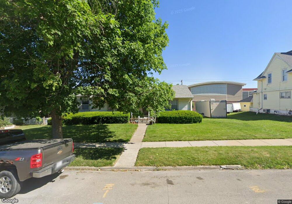
119 Illinois Ave Saint Joseph, MO 64504
Southside NeighborhoodEstimated Value: $103,000 - $135,000
--
Bed
--
Bath
1,020
Sq Ft
$118/Sq Ft
Est. Value
About This Home
This home is located at 119 Illinois Ave, Saint Joseph, MO 64504 and is currently estimated at $120,764, approximately $118 per square foot. 119 Illinois Ave is a home located in Buchanan County with nearby schools including Hosea Elementary School, Spring Garden Middle School, and Benton High School.
Ownership History
Date
Name
Owned For
Owner Type
Purchase Details
Closed on
Jul 3, 2025
Sold by
Weisenburger Daniel R
Bought by
Dustys Auto Service Llc
Current Estimated Value
Purchase Details
Closed on
Jan 13, 2006
Sold by
Tr Us Bank National Assn and Pr Litton Loan Servicing Lp
Bought by
Wolfe Mark
Home Financials for this Owner
Home Financials are based on the most recent Mortgage that was taken out on this home.
Original Mortgage
$78,000
Interest Rate
6.25%
Mortgage Type
Future Advance Clause Open End Mortgage
Create a Home Valuation Report for This Property
The Home Valuation Report is an in-depth analysis detailing your home's value as well as a comparison with similar homes in the area
Home Values in the Area
Average Home Value in this Area
Purchase History
| Date | Buyer | Sale Price | Title Company |
|---|---|---|---|
| Dustys Auto Service Llc | -- | St Joseph Title | |
| Wolfe Mark | -- | Hall Abstract & Title Co Inc |
Source: Public Records
Mortgage History
| Date | Status | Borrower | Loan Amount |
|---|---|---|---|
| Previous Owner | Wolfe Mark | $78,000 |
Source: Public Records
Tax History Compared to Growth
Tax History
| Year | Tax Paid | Tax Assessment Tax Assessment Total Assessment is a certain percentage of the fair market value that is determined by local assessors to be the total taxable value of land and additions on the property. | Land | Improvement |
|---|---|---|---|---|
| 2024 | $751 | $10,430 | $2,540 | $7,890 |
| 2023 | $751 | $10,430 | $2,540 | $7,890 |
| 2022 | $60 | $10,430 | $2,540 | $7,890 |
| 2021 | $697 | $10,430 | $2,540 | $7,890 |
| 2020 | $692 | $10,430 | $2,540 | $7,890 |
| 2019 | $119 | $10,430 | $2,540 | $7,890 |
| 2018 | $604 | $10,430 | $2,540 | $7,890 |
| 2017 | $599 | $10,430 | $0 | $0 |
| 2015 | $0 | $10,430 | $0 | $0 |
| 2014 | $656 | $10,430 | $0 | $0 |
Source: Public Records
Map
Nearby Homes
- 210 Illinois Ave
- 5206 King Hill Ave
- 205 Michigan Ave
- 321 Fleeman St
- 114 Ohio St
- 302 E Colorado Ave
- 308 E Colorado Ave
- 5421 N Pointe (Lot 2b) Rd
- 316 Ohio St
- 326 Ohio St
- 205 E Kansas Ave
- 501 Ohio St
- 415 Virginia St
- 5002-5026 King Hill Ave
- 0 S 4th St
- 118 Alabama St
- 6112 Carnegie St
- 226 Clayton St
- 5325 Sawyer St
- 524 E Kansas Ave
- 125 Illinois Ave
- 113 Illinois Ave
- 201 Illinois Ave
- 126 Illinois Ave
- 205 Illinois Ave
- 125 Cherokee St
- 125 Cherokee Ave
- 207 Illinois Ave
- 117 W Indiana Ave
- 115 W Indiana Ave
- 119 W Indiana Ave
- 123 W Indiana Ave
- 111 W Indiana Ave
- 5311 Pryor Ave
- 109 W Indiana Ave
- 5516 King Hill Ave
- 107 W Indiana Ave
- 201 W Indiana Ave
- 5501 King Hill Ave
- 5310 King Hill Ave