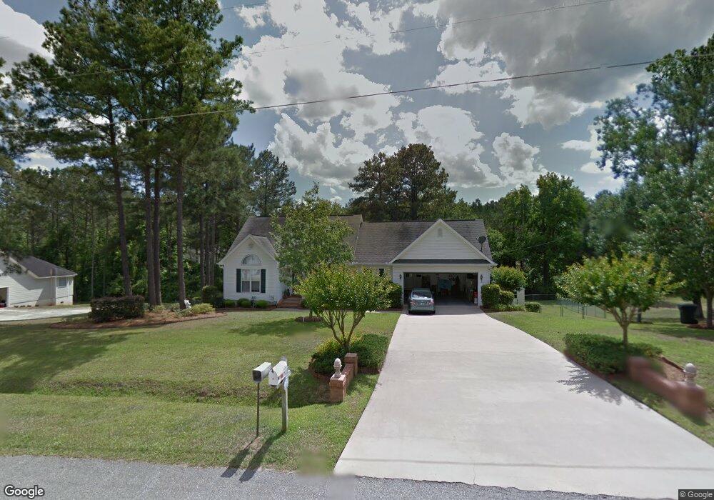
119 Kayla Dr Macon, GA 31216
Estimated Value: $207,000 - $245,000
3
Beds
2
Baths
1,472
Sq Ft
$154/Sq Ft
Est. Value
About This Home
This home is located at 119 Kayla Dr, Macon, GA 31216 and is currently estimated at $226,947, approximately $154 per square foot. 119 Kayla Dr is a home located in Bibb County with nearby schools including Porter Elementary School, Rutland Middle School, and Rutland High School.
Ownership History
Date
Name
Owned For
Owner Type
Purchase Details
Closed on
Jun 10, 2021
Sold by
Taylor Harwell Pat and Taylor Dianne M
Bought by
Brown Victoria Ruth
Current Estimated Value
Home Financials for this Owner
Home Financials are based on the most recent Mortgage that was taken out on this home.
Original Mortgage
$169,750
Outstanding Balance
$153,687
Interest Rate
2.9%
Mortgage Type
New Conventional
Estimated Equity
$73,260
Purchase Details
Closed on
Jan 15, 2014
Sold by
Taylor Diane M and Temple Carol A
Bought by
Taylor Harwell Pat and Taylor Dianne M
Home Financials for this Owner
Home Financials are based on the most recent Mortgage that was taken out on this home.
Original Mortgage
$70,800
Interest Rate
4.44%
Mortgage Type
New Conventional
Purchase Details
Closed on
Feb 29, 2000
Bought by
Taylor Harwell P and Taylor Dianne M
Create a Home Valuation Report for This Property
The Home Valuation Report is an in-depth analysis detailing your home's value as well as a comparison with similar homes in the area
Home Values in the Area
Average Home Value in this Area
Purchase History
| Date | Buyer | Sale Price | Title Company |
|---|---|---|---|
| Brown Victoria Ruth | $175,000 | None Available | |
| Taylor Harwell Pat | -- | None Available | |
| Taylor Harwell P | $129,900 | -- |
Source: Public Records
Mortgage History
| Date | Status | Borrower | Loan Amount |
|---|---|---|---|
| Open | Brown Victoria Ruth | $169,750 | |
| Previous Owner | Taylor Harwell Pat | $70,800 |
Source: Public Records
Tax History Compared to Growth
Tax History
| Year | Tax Paid | Tax Assessment Tax Assessment Total Assessment is a certain percentage of the fair market value that is determined by local assessors to be the total taxable value of land and additions on the property. | Land | Improvement |
|---|---|---|---|---|
| 2024 | $1,705 | $74,132 | $12,000 | $62,132 |
| 2023 | $1,248 | $74,132 | $12,000 | $62,132 |
| 2022 | $1,939 | $73,291 | $10,806 | $62,485 |
| 2021 | $1,967 | $58,754 | $9,396 | $49,358 |
| 2020 | $2,009 | $58,754 | $9,396 | $49,358 |
| 2019 | $2,026 | $58,754 | $9,396 | $49,358 |
| 2018 | $3,220 | $57,712 | $9,396 | $48,316 |
| 2017 | $1,900 | $57,712 | $9,396 | $48,316 |
| 2016 | $1,754 | $57,712 | $9,396 | $48,316 |
| 2015 | $2,484 | $57,712 | $9,396 | $48,316 |
| 2014 | $829 | $57,712 | $9,396 | $48,316 |
Source: Public Records
Map
Nearby Homes
- 204 Erin Ln
- 6403 Barfield Rd
- 148 Marcar Rd
- 155 Shetland Pines Dr
- 5626 Janeru Cir
- 7234 Neal Dr
- 7241 Winterberry Cir
- 7253 Winterberry Cir
- 7209 Winterberry Cir
- 7216 Winterberry Cir
- 7220 Winterberry Cir
- 7212 Winterberry Cir
- 5459 Robie Dr
- 4072 Sardis Church Rd
- 5190 Mount Pleasant Church Rd
- 5180 Mount Pleasant Church Rd
- 5845 Mount Pleasant Church Rd
- 2 Longleaf Estates Rd
- 1 Longleaf Estates
- 2165 Griffin Dr