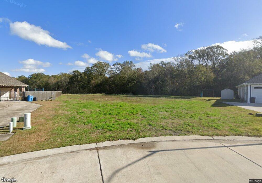
119 Lake Catherine Dr Luling, LA 70070
Estimated Value: $458,000 - $546,990
Studio
--
Bath
2,898
Sq Ft
$171/Sq Ft
Est. Value
About This Home
This home is located at 119 Lake Catherine Dr, Luling, LA 70070 and is currently estimated at $495,498, approximately $170 per square foot. 119 Lake Catherine Dr is a home with nearby schools including Mimosa Park Elementary School, Lakewood Elementary School, and J.B. Martin Middle School.
Ownership History
Date
Name
Owned For
Owner Type
Purchase Details
Closed on
Oct 22, 2024
Sold by
Aucoin Arthur A and Aucoin Suzanne L
Bought by
Arthur And Suzanne Aucoin Living Trust and Aucoin
Current Estimated Value
Purchase Details
Closed on
Apr 2, 2019
Sold by
Guidry Bourg Brody D and Guidry Bourg Bailie
Bought by
Aucoin Arthur A and Aucoin Suzanne L
Home Financials for this Owner
Home Financials are based on the most recent Mortgage that was taken out on this home.
Original Mortgage
$97,200
Interest Rate
4.4%
Mortgage Type
New Conventional
Purchase Details
Closed on
Aug 1, 2016
Sold by
Rjm Enterprises Inc
Bought by
Guidry Bourg Brody D and Guidry Bourg Bailie
Home Financials for this Owner
Home Financials are based on the most recent Mortgage that was taken out on this home.
Original Mortgage
$97,850
Interest Rate
3.48%
Mortgage Type
New Conventional
Create a Home Valuation Report for This Property
The Home Valuation Report is an in-depth analysis detailing your home's value as well as a comparison with similar homes in the area
Home Values in the Area
Average Home Value in this Area
Purchase History
| Date | Buyer | Sale Price | Title Company |
|---|---|---|---|
| Arthur And Suzanne Aucoin Living Trust | -- | None Listed On Document | |
| Aucoin Arthur A | $108,000 | Riverview Title | |
| Guidry Bourg Brody D | $103,000 | Riverview Title |
Source: Public Records
Mortgage History
| Date | Status | Borrower | Loan Amount |
|---|---|---|---|
| Previous Owner | Aucoin Arthur A | $97,200 | |
| Previous Owner | Guidry Bourg Brody D | $97,850 |
Source: Public Records
Tax History
| Year | Tax Paid | Tax Assessment Tax Assessment Total Assessment is a certain percentage of the fair market value that is determined by local assessors to be the total taxable value of land and additions on the property. | Land | Improvement |
|---|---|---|---|---|
| 2025 | $4,011 | $47,190 | $11,850 | $35,340 |
| 2024 | $4,011 | $47,190 | $11,850 | $35,340 |
| 2023 | $4,074 | $48,779 | $9,910 | $38,869 |
| 2022 | $1,159 | $9,910 | $9,910 | $0 |
| 2021 | $1,052 | $8,919 | $8,919 | $0 |
| 2020 | $1,171 | $9,910 | $9,910 | $0 |
| 2019 | $1,178 | $9,938 | $9,938 | $0 |
| 2018 | $1,169 | $9,938 | $9,938 | $0 |
| 2017 | $1,168 | $9,938 | $9,938 | $0 |
| 2016 | $1,173 | $9,938 | $9,938 | $0 |
Source: Public Records
Map
Nearby Homes
- 125 Lake Catherine Dr
- 123 Lake Catherine Dr
- 122 Lake Catherine Dr
- 124 Lake Catherine Dr
- 127 Lake Catherine Dr
- 126 Lake Catherine Dr
- 121 Lake Catherine Dr
- 129 Lake Catherine Dr
- 128 Lake Catherine Dr
- 105 Lake Carolyn Dr
- 228 Sophia Dr
- 107 Lake Carolyn Dr
- 131 Lake Catherine Dr
- 103 Lake Carolyn Dr
- 130 Lake Catherine Dr
- 368 Sophia Dr
- 317 Sophia Dr
- 309 Sophia Dr
- 337 Sophia Dr
- 345 Sophia Dr
Your Personal Tour Guide
Ask me questions while you tour the home.