119 Laser Ln Weatherford, TX 76087
Estimated Value: $951,000 - $1,092,000
4
Beds
4
Baths
4,502
Sq Ft
$231/Sq Ft
Est. Value
About This Home
This home is located at 119 Laser Ln, Weatherford, TX 76087 and is currently estimated at $1,040,957, approximately $231 per square foot. 119 Laser Ln is a home located in Parker County with nearby schools including Brock Intermediate School, Brock Junior High School, and Brock High School.
Ownership History
Date
Name
Owned For
Owner Type
Purchase Details
Closed on
Dec 20, 2019
Sold by
Edwards Judson and Edwards Jo Ann
Bought by
Jeffers Martin Dale and Jeffers Susan Hyocha
Current Estimated Value
Home Financials for this Owner
Home Financials are based on the most recent Mortgage that was taken out on this home.
Original Mortgage
$484,350
Outstanding Balance
$427,859
Interest Rate
3.7%
Mortgage Type
New Conventional
Estimated Equity
$613,098
Purchase Details
Closed on
Oct 31, 2012
Sold by
Petralli Eugene J and Petralli Susan Patterson
Bought by
Edwards Judson and Edwards Jo Ann
Purchase Details
Closed on
Jan 1, 1901
Bought by
Edwards Judson and Jo Ann
Create a Home Valuation Report for This Property
The Home Valuation Report is an in-depth analysis detailing your home's value as well as a comparison with similar homes in the area
Home Values in the Area
Average Home Value in this Area
Purchase History
| Date | Buyer | Sale Price | Title Company |
|---|---|---|---|
| Jeffers Martin Dale | -- | None Available | |
| Edwards Judson | -- | None Available | |
| Edwards Judson | -- | -- |
Source: Public Records
Mortgage History
| Date | Status | Borrower | Loan Amount |
|---|---|---|---|
| Open | Jeffers Martin Dale | $484,350 |
Source: Public Records
Tax History Compared to Growth
Tax History
| Year | Tax Paid | Tax Assessment Tax Assessment Total Assessment is a certain percentage of the fair market value that is determined by local assessors to be the total taxable value of land and additions on the property. | Land | Improvement |
|---|---|---|---|---|
| 2025 | $10,515 | $699,900 | -- | -- |
| 2024 | $10,515 | $636,273 | -- | -- |
| 2023 | $10,515 | $578,430 | $0 | $0 |
| 2022 | $10,676 | $525,850 | $91,000 | $434,850 |
| 2021 | $11,227 | $525,850 | $91,000 | $434,850 |
| 2020 | $11,875 | $548,630 | $50,000 | $498,630 |
| 2019 | $12,016 | $515,560 | $50,000 | $465,560 |
| 2018 | $11,388 | $486,460 | $25,000 | $461,460 |
| 2017 | $11,192 | $486,460 | $25,000 | $461,460 |
| 2016 | $10,609 | $461,130 | $25,000 | $436,130 |
| 2015 | $10,473 | $461,130 | $25,000 | $436,130 |
| 2014 | $9,094 | $396,290 | $25,000 | $371,290 |
Source: Public Records
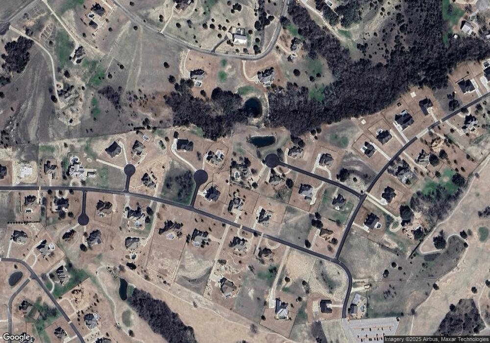
Map
Nearby Homes
- 113 Laser Ln
- 123 Club House Dr
- 234 Trail Ridge
- 150 Top Flight Dr
- 162 Pinnacle Peak Ln
- 120 Trail Ridge
- 101 Trail Ridge
- 197 Pinnacle Peak Ln
- 125 Summer Stone Ct
- 205 Pinnacle Peak Ln
- 0 Quanah Hill Rd Unit 23872058
- 1060 Kessler Rd
- 873 Canyon Creek Ln
- 313 Canyon Creek Cir
- 393 Canyon Creek Cir
- 788 W Canyon Creek Ln
- TBA Old Brock Rd
- 833 N Savage Creek Ln
- 2053 Verona Dr
- 151 Canyon Creek Ct
- 104 Spalding Ct
- 131 Club House Dr
- 127 Club House Dr
- 135 Club House Dr
- 112 Laser Ln
- 106 Laser Ln
- TBD Spalding Ct
- 107 Laser Ln
- 105 Spalding Ct
- L12 Spalding Ct
- 134 Club House Dr
- 128 Club House Dr
- 126 Club House Dr
- L2B4 Laser Ln
- 136 Club House Dr
- 222 Trail Ridge
- 119 Club House Dr
- L17 B2 Clubhouse Dr
- 101 Laser Ln
- 141 Club House Dr