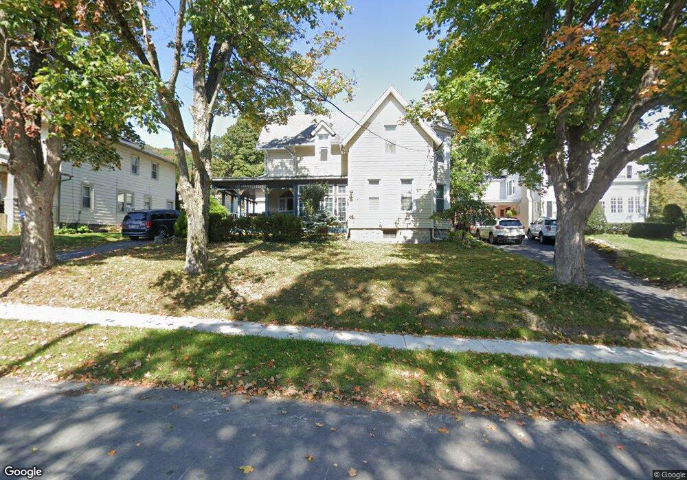
119 Maple Rd Cobleskill, NY 12043
Estimated Value: $219,000 - $274,000
3
Beds
2
Baths
2,403
Sq Ft
$103/Sq Ft
Est. Value
About This Home
This home is located at 119 Maple Rd, Cobleskill, NY 12043 and is currently estimated at $248,405, approximately $103 per square foot. 119 Maple Rd is a home located in Schoharie County with nearby schools including George D Ryder Elementary School, Cobleskill Richmondville High School, and Joseph B Radez Elementary School.
Ownership History
Date
Name
Owned For
Owner Type
Purchase Details
Closed on
Oct 26, 2007
Sold by
Head Betty
Bought by
Fiorillo Timothy
Current Estimated Value
Purchase Details
Closed on
Sep 8, 2004
Sold by
Head Family Trust
Bought by
Head Betty and Head Betty N Living Trust
Create a Home Valuation Report for This Property
The Home Valuation Report is an in-depth analysis detailing your home's value as well as a comparison with similar homes in the area
Home Values in the Area
Average Home Value in this Area
Purchase History
| Date | Buyer | Sale Price | Title Company |
|---|---|---|---|
| Fiorillo Timothy | $210,500 | Charles Rosenstein | |
| Head Betty | -- | Bonnie Mcguire-Jones |
Source: Public Records
Tax History
| Year | Tax Paid | Tax Assessment Tax Assessment Total Assessment is a certain percentage of the fair market value that is determined by local assessors to be the total taxable value of land and additions on the property. | Land | Improvement |
|---|---|---|---|---|
| 2024 | $6,183 | $106,000 | $8,500 | $97,500 |
| 2023 | $5,412 | $106,000 | $8,500 | $97,500 |
| 2022 | $5,868 | $106,000 | $8,500 | $97,500 |
| 2021 | $4,595 | $106,000 | $8,500 | $97,500 |
| 2020 | $5,238 | $106,000 | $8,500 | $97,500 |
| 2019 | $5,126 | $106,000 | $8,500 | $97,500 |
| 2018 | $5,126 | $106,000 | $8,500 | $97,500 |
| 2017 | $5,206 | $106,000 | $8,500 | $97,500 |
| 2016 | $5,103 | $106,000 | $8,500 | $97,500 |
| 2015 | -- | $106,000 | $8,500 | $97,500 |
| 2014 | -- | $106,000 | $8,500 | $97,500 |
Source: Public Records
Map
Nearby Homes
- 110 Madison Terrace
- 616 E Main St
- L14 New York 7
- 642 E Main St
- L1 Campus Dr
- 5432 New York 145
- L1 New York 145
- 122 Rabbit Run
- 206 Barnerville Rd
- 179 Patrick Rd
- 1506 New York 7
- 5111 State Route 145
- 427 Patrick Rd
- 5214 New York 145
- 5214 State Route 145
- L9 Ski Tow Rd
- 647 Barnerville Rd
- 5754 State Route 10
- 561 Grovenors Corners Rd
- 105 Pewter Ln Unit 31
- 117 Maple Rd
- 299 N Grand St
- 3 Snyder Ln
- 108 Cleveland Ave
- 0 Cleveland Ave Unit 28112689
- 295 N Grand St
- 111 Maple Rd
- 114 Maple Rd
- 112 Cleveland Ave
- 107 Cleveland Ave
- 291 N Grand St
- 109 Cleveland Ave
- 107 Maple Rd
- 80 N Grand St
- 114 Cleveland Ave
- 113 Cleveland Ave
- 289 N Grand St
- 9 Maple Rd
- 105 Maple Rd
- 117 Cleveland Ave
Your Personal Tour Guide
Ask me questions while you tour the home.