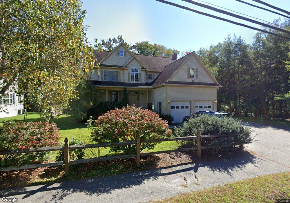
119 Maple St Lexington, MA 02420
Countryside NeighborhoodEstimated Value: $1,737,695 - $2,229,000
4
Beds
3
Baths
2,845
Sq Ft
$674/Sq Ft
Est. Value
About This Home
This home is located at 119 Maple St, Lexington, MA 02420 and is currently estimated at $1,917,424, approximately $673 per square foot. 119 Maple St is a home located in Middlesex County with nearby schools including Harrington Elementary School, Jonas Clarke Middle School, and Lexington High School.
Ownership History
Date
Name
Owned For
Owner Type
Purchase Details
Closed on
May 27, 1997
Sold by
King Jordan S and King Donna L
Bought by
Flanagan Kathryn
Current Estimated Value
Purchase Details
Closed on
Jul 2, 1991
Sold by
Borelli John A and Strassman Alison
Bought by
King Jordan S and King Donna L
Create a Home Valuation Report for This Property
The Home Valuation Report is an in-depth analysis detailing your home's value as well as a comparison with similar homes in the area
Home Values in the Area
Average Home Value in this Area
Purchase History
| Date | Buyer | Sale Price | Title Company |
|---|---|---|---|
| Flanagan Kathryn | $205,000 | -- | |
| King Jordan S | $180,000 | -- |
Source: Public Records
Mortgage History
| Date | Status | Borrower | Loan Amount |
|---|---|---|---|
| Open | King Jordan S | $200,000 | |
| Open | King Jordan S | $448,000 | |
| Closed | King Jordan S | $600,000 |
Source: Public Records
Tax History
| Year | Tax Paid | Tax Assessment Tax Assessment Total Assessment is a certain percentage of the fair market value that is determined by local assessors to be the total taxable value of land and additions on the property. | Land | Improvement |
|---|---|---|---|---|
| 2025 | $19,703 | $1,611,000 | $720,000 | $891,000 |
| 2024 | $18,939 | $1,546,000 | $686,000 | $860,000 |
| 2023 | $17,719 | $1,363,000 | $623,000 | $740,000 |
| 2022 | $17,471 | $1,266,000 | $567,000 | $699,000 |
| 2021 | $12,069 | $1,203,000 | $517,000 | $686,000 |
| 2020 | $16,073 | $1,144,000 | $517,000 | $627,000 |
| 2019 | $15,588 | $1,104,000 | $492,000 | $612,000 |
| 2018 | $14,243 | $996,000 | $418,000 | $578,000 |
| 2017 | $14,041 | $969,000 | $398,000 | $571,000 |
| 2016 | $13,987 | $958,000 | $375,000 | $583,000 |
| 2015 | $13,404 | $902,000 | $341,000 | $561,000 |
| 2014 | $13,230 | $853,000 | $310,000 | $543,000 |
Source: Public Records
Map
Nearby Homes
Your Personal Tour Guide
Ask me questions while you tour the home.