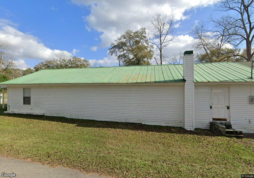
119 McGirt St SW Poulan, GA 31781
Estimated Value: $106,000 - $165,000
2
Beds
1
Bath
1,104
Sq Ft
$125/Sq Ft
Est. Value
About This Home
This home is located at 119 McGirt St SW, Poulan, GA 31781 and is currently estimated at $137,611, approximately $124 per square foot. 119 McGirt St SW is a home located in Worth County with nearby schools including Worth County Primary School, Worth County Elementary School, and Worth County Middle School.
Ownership History
Date
Name
Owned For
Owner Type
Purchase Details
Closed on
Jan 19, 2021
Sold by
Rogers Doyle C
Bought by
Bryant Charles and Green Alisha D
Current Estimated Value
Home Financials for this Owner
Home Financials are based on the most recent Mortgage that was taken out on this home.
Original Mortgage
$61,825
Outstanding Balance
$55,072
Interest Rate
2.6%
Mortgage Type
New Conventional
Estimated Equity
$82,539
Purchase Details
Closed on
Sep 3, 2019
Sold by
Giddens Margie Pierce Estate
Bought by
Rogers Doyle C
Create a Home Valuation Report for This Property
The Home Valuation Report is an in-depth analysis detailing your home's value as well as a comparison with similar homes in the area
Home Values in the Area
Average Home Value in this Area
Purchase History
| Date | Buyer | Sale Price | Title Company |
|---|---|---|---|
| Bryant Charles | $36,000 | -- | |
| Rogers Doyle C | $4,000 | -- |
Source: Public Records
Mortgage History
| Date | Status | Borrower | Loan Amount |
|---|---|---|---|
| Open | Bryant Charles | $61,825 |
Source: Public Records
Tax History Compared to Growth
Tax History
| Year | Tax Paid | Tax Assessment Tax Assessment Total Assessment is a certain percentage of the fair market value that is determined by local assessors to be the total taxable value of land and additions on the property. | Land | Improvement |
|---|---|---|---|---|
| 2024 | $696 | $20,444 | $4,368 | $16,076 |
| 2023 | $696 | $20,444 | $4,368 | $16,076 |
| 2022 | $491 | $20,444 | $4,368 | $16,076 |
| 2021 | $697 | $20,444 | $4,368 | $16,076 |
| 2020 | $698 | $20,444 | $4,368 | $16,076 |
| 2019 | $438 | $20,444 | $4,368 | $16,076 |
| 2018 | $698 | $20,444 | $4,368 | $16,076 |
| 2017 | $698 | $20,444 | $4,368 | $16,076 |
| 2016 | $438 | $20,444 | $4,368 | $16,076 |
| 2015 | $393 | $20,444 | $4,368 | $16,076 |
| 2014 | $392 | $20,444 | $4,368 | $16,076 |
| 2013 | -- | $20,444 | $4,368 | $16,076 |
| 2012 | -- | $20,443 | $4,368 | $16,075 |
Source: Public Records
Map
Nearby Homes
- 565 Sands Dr Unit 8
- 565 Sands Dr
- 0 Sands Dr
- 0 P T Salter Rd Unit 138997
- 376 West Rd
- 196 Griffin Houston Rd
- 107 Dunbar Cir
- 103 Dunbar Cir
- 0 Multiple Lots Unit 138826
- 314 E Hobson St
- 302 Sadler St
- 307 E Hobson St
- 202A E Welch St
- 101 Pecan St
- 000 Georgia 256
- 106 Rosewood Dr
- 104 Lynn Cir
- 0 Ga Hwy 82 Unit 913408
- 117 Donna Dr
- 402 N McPhaul St
- 420 Broad St SW
- 427 W Church St
- 433 W Church St
- 428 Broad St SW
- 116 Worth St SW
- 414 Broad St SW
- 413 W Church St
- 413 W Church St
- 126 Worth St SW
- 505 Broad St SW
- 402 Broad St SW
- 407 W Church St
- 425 Broad St SW
- 503 W Church St
- 417 Broad St SW
- 413 Broad St SW
- 516 Broad St SW
- 329 W Church St
- 407 Broad St SW
- 422 W Church St