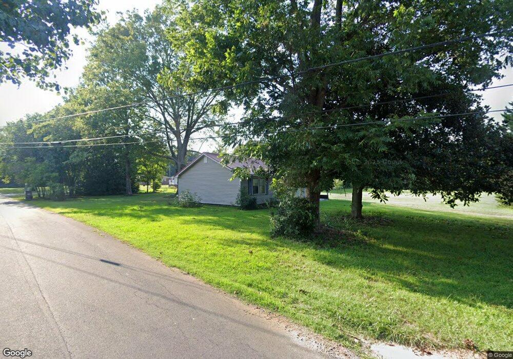
119 Melbourne Way Dalton, GA 30721
Estimated Value: $160,649 - $293,000
--
Bed
--
Bath
1,148
Sq Ft
$179/Sq Ft
Est. Value
About This Home
This home is located at 119 Melbourne Way, Dalton, GA 30721 and is currently estimated at $205,412, approximately $178 per square foot. 119 Melbourne Way is a home with nearby schools including Cedar Ridge Elementary School, Eastbrook Middle School, and Southeast Whitfield County High School.
Ownership History
Date
Name
Owned For
Owner Type
Purchase Details
Closed on
Nov 19, 2019
Sold by
Bond David
Bought by
Bond Jesse Courtney
Current Estimated Value
Home Financials for this Owner
Home Financials are based on the most recent Mortgage that was taken out on this home.
Original Mortgage
$58,005
Interest Rate
3.75%
Purchase Details
Closed on
Aug 18, 2000
Sold by
Mooney James
Bought by
Bond David and Bond Mary
Create a Home Valuation Report for This Property
The Home Valuation Report is an in-depth analysis detailing your home's value as well as a comparison with similar homes in the area
Home Values in the Area
Average Home Value in this Area
Purchase History
| Date | Buyer | Sale Price | Title Company |
|---|---|---|---|
| Bond Jesse Courtney | $55,991 | -- | |
| Bond David | $130,000 | -- |
Source: Public Records
Mortgage History
| Date | Status | Borrower | Loan Amount |
|---|---|---|---|
| Closed | Bond Jesse Courtney | $58,005 |
Source: Public Records
Tax History Compared to Growth
Tax History
| Year | Tax Paid | Tax Assessment Tax Assessment Total Assessment is a certain percentage of the fair market value that is determined by local assessors to be the total taxable value of land and additions on the property. | Land | Improvement |
|---|---|---|---|---|
| 2024 | $1,033 | $59,612 | $5,880 | $53,732 |
| 2023 | $1,033 | $34,380 | $5,880 | $28,500 |
| 2022 | $828 | $28,089 | $5,880 | $22,209 |
| 2021 | $829 | $28,089 | $5,880 | $22,209 |
| 2020 | $857 | $28,089 | $5,880 | $22,209 |
| 2019 | $790 | $25,472 | $5,880 | $19,592 |
| 2018 | $803 | $25,472 | $5,880 | $19,592 |
| 2017 | $803 | $25,472 | $5,880 | $19,592 |
| 2016 | $718 | $23,699 | $5,880 | $17,819 |
| 2014 | $638 | $23,699 | $5,880 | $17,819 |
| 2013 | -- | $23,699 | $5,880 | $17,819 |
Source: Public Records
Map
Nearby Homes
- 4322 Banks Dr SE
- 760 Keith Rd SE
- 185 Cedar Ridge Rd
- 0 Ledford Ave SE
- 4386 Tibbs Bridge Rd SE
- 741 North Dr SE
- 279 Satterfield Rd SE
- 185 Cedar Ridge Rd SE
- 0 Tibbs Bridge Rd SE
- 01 Headrick Cir SE
- 00 Headrick Cir SE
- 3657 Airport Rd
- 4988 Tibbs Bridge Rd SE
- 404 Lakeview Dr SE
- 156 Goldsmith Ln
- 59 Terrace Ct
- 0 Leon Cir
- 210 Gordon Dr
- 1142 Ben Hill Rd SE
- 0 Cheree Way Unit 129259
- 296 Mary Sue Dr SE
- 324 Mary Sue Dr SE
- 345 Mary Sue Dr SE
- 4515 Mary Sue Dr SE
- 4515 Mary Sue Dr SE
- 186 Mary Sue Dr SE
- 279 Mary Sue Dr SE
- 00 Mary Sue Dr SE
- 136 Mullins Way
- 369 Mary Sue Dr SE
- 195 Mary Sue Dr SE
- 344 Mary Sue Dr SE
- 180 Mary Sue Dr SE
- 366 Mary Sue Dr SE
- 181 Mullins Way
- 4520 SE Mary Sue Dr
- 384 Mary Sue Dr SE
- 384 Mary Sue Dr SE
- 745 Alton Dr
- 718 Keith Mill Rd SE