119 Mesa Dr Waynesville, MO 65583
Estimated Value: $242,000 - $270,000
Studio
1
Bath
1,475
Sq Ft
$174/Sq Ft
Est. Value
About This Home
This home is located at 119 Mesa Dr, Waynesville, MO 65583 and is currently estimated at $257,179, approximately $174 per square foot. 119 Mesa Dr is a home located in Pulaski County with nearby schools including Waynesville East Elementary School, Freedom Elementary School, and Waynesville Sixth Grade Center.
Ownership History
Date
Name
Owned For
Owner Type
Purchase Details
Closed on
Jul 16, 2010
Sold by
Sparks Tina Marie
Bought by
Sparks Anthony S
Current Estimated Value
Purchase Details
Closed on
Jul 23, 2007
Sold by
Six Bucks Investments L L C
Bought by
Sparks Anthony S
Home Financials for this Owner
Home Financials are based on the most recent Mortgage that was taken out on this home.
Original Mortgage
$177,658
Outstanding Balance
$110,273
Interest Rate
6.73%
Mortgage Type
VA
Estimated Equity
$146,906
Create a Home Valuation Report for This Property
The Home Valuation Report is an in-depth analysis detailing your home's value as well as a comparison with similar homes in the area
Home Values in the Area
Average Home Value in this Area
Purchase History
| Date | Buyer | Sale Price | Title Company |
|---|---|---|---|
| Sparks Anthony S | -- | None Available | |
| Sparks Anthony S | -- | Hlt |
Source: Public Records
Mortgage History
| Date | Status | Borrower | Loan Amount |
|---|---|---|---|
| Open | Sparks Anthony S | $177,658 | |
| Closed | Sparks Anthony S | $177,658 |
Source: Public Records
Tax History
| Year | Tax Paid | Tax Assessment Tax Assessment Total Assessment is a certain percentage of the fair market value that is determined by local assessors to be the total taxable value of land and additions on the property. | Land | Improvement |
|---|---|---|---|---|
| 2025 | $1,381 | $36,542 | $7,524 | $29,018 |
| 2024 | $14 | $32,650 | $6,270 | $26,380 |
| 2023 | $1,347 | $32,650 | $6,270 | $26,380 |
| 2022 | $1,121 | $27,364 | $4,940 | $22,424 |
| 2021 | $1,109 | $27,364 | $4,940 | $22,424 |
| 2020 | $1,089 | $27,362 | $0 | $0 |
| 2019 | $1,089 | $26,296 | $0 | $0 |
| 2018 | $1,087 | $26,296 | $0 | $0 |
| 2017 | $1,074 | $27,362 | $0 | $0 |
| 2016 | $1,022 | $26,300 | $0 | $0 |
| 2015 | $1,014 | $26,300 | $0 | $0 |
| 2014 | $1,014 | $26,300 | $0 | $0 |
Source: Public Records
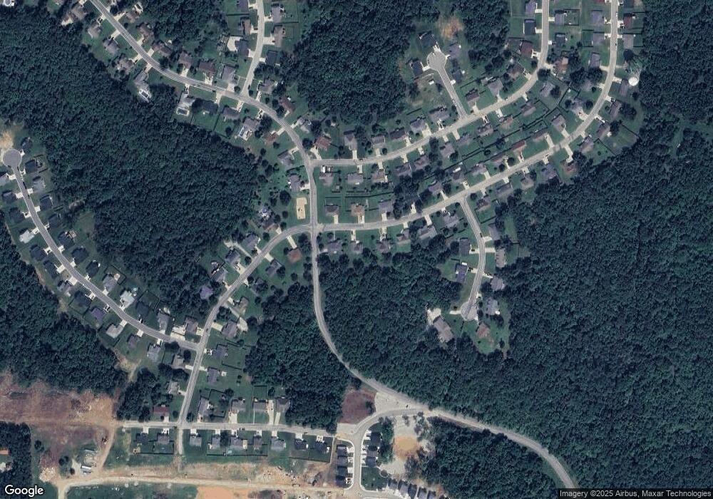
Map
Nearby Homes
- 205 Majestic
- 147 La Vista Dr
- 163 Mesa Dr
- 136 La Vista Dr
- LOT 4 Russell Dr
- LOT 8 Russell Dr
- LOT 7 Russell Dr
- LOT 10 Russell Dr
- LOT 2 Russell Dr
- LOT 11 Russell Dr
- LOT 3 Russell Dr
- LOT 9 Russell Dr
- LOT 6 Russell Dr
- 160 Mesa Dr
- 176 Teton Pass
- 48 LOT Breckenridge Dr
- 508 Shoshone Dr
- 400 Main St
- 704 Madison St
- 0 El Loma St
Your Personal Tour Guide
Ask me questions while you tour the home.