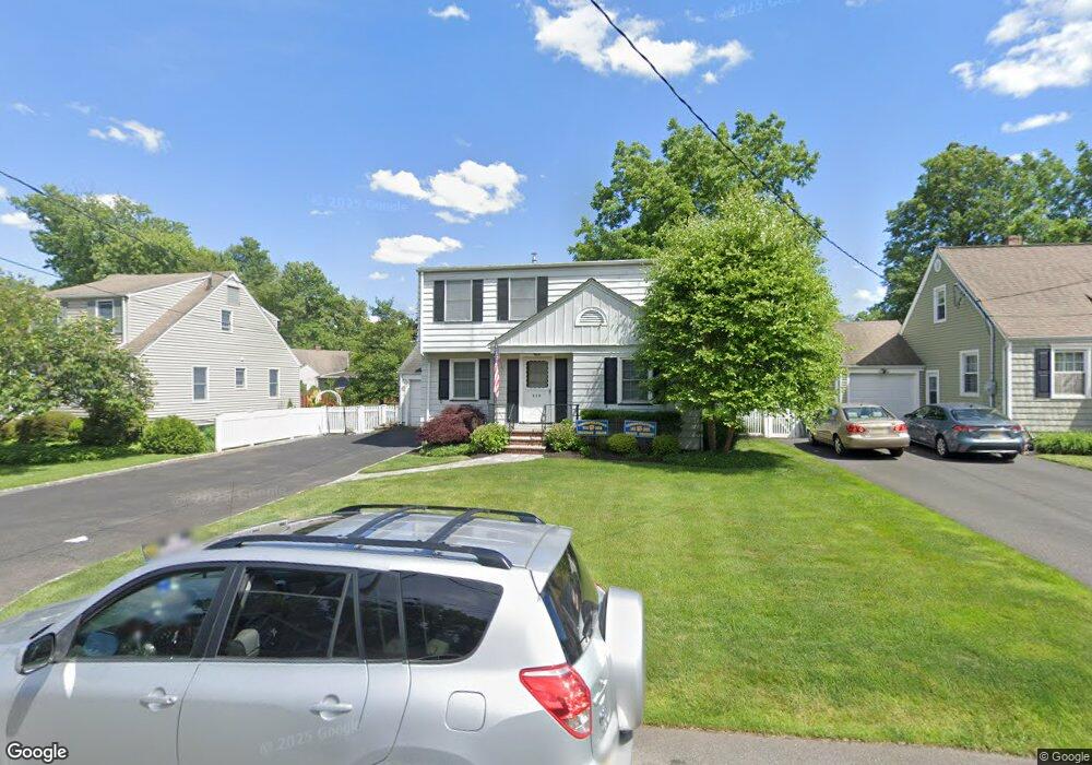
119 Mohawk Dr Cranford, NJ 07016
Estimated Value: $726,672 - $841,000
Studio
--
Bath
1,906
Sq Ft
$416/Sq Ft
Est. Value
About This Home
This home is located at 119 Mohawk Dr, Cranford, NJ 07016 and is currently estimated at $792,168, approximately $415 per square foot. 119 Mohawk Dr is a home located in Union County with nearby schools including Cranford Sr High School, St John The Apostle School, and Mother Seton Regional High School.
Ownership History
Date
Name
Owned For
Owner Type
Purchase Details
Closed on
Aug 7, 2015
Sold by
Reilly Maureen
Bought by
Pizzella Catherine M and Pizzella Timothy Brian
Current Estimated Value
Home Financials for this Owner
Home Financials are based on the most recent Mortgage that was taken out on this home.
Original Mortgage
$340,000
Outstanding Balance
$267,862
Interest Rate
4.08%
Mortgage Type
New Conventional
Estimated Equity
$524,306
Purchase Details
Closed on
Jul 8, 1996
Sold by
Reilly Philip and Reilly Maureen
Bought by
Reilly Maureen
Create a Home Valuation Report for This Property
The Home Valuation Report is an in-depth analysis detailing your home's value as well as a comparison with similar homes in the area
Home Values in the Area
Average Home Value in this Area
Purchase History
| Date | Buyer | Sale Price | Title Company |
|---|---|---|---|
| Pizzella Catherine M | $425,000 | Attorney | |
| Reilly Maureen | -- | -- |
Source: Public Records
Mortgage History
| Date | Status | Borrower | Loan Amount |
|---|---|---|---|
| Open | Pizzella Catherine M | $340,000 |
Source: Public Records
Tax History
| Year | Tax Paid | Tax Assessment Tax Assessment Total Assessment is a certain percentage of the fair market value that is determined by local assessors to be the total taxable value of land and additions on the property. | Land | Improvement |
|---|---|---|---|---|
| 2025 | $12,270 | $181,000 | $80,200 | $100,800 |
| 2024 | $12,067 | $181,000 | $80,200 | $100,800 |
| 2023 | $12,067 | $181,000 | $80,200 | $100,800 |
| 2022 | $11,968 | $181,000 | $80,200 | $100,800 |
| 2021 | $11,915 | $181,000 | $80,200 | $100,800 |
| 2020 | $11,877 | $181,000 | $80,200 | $100,800 |
| 2019 | $11,801 | $181,000 | $80,200 | $100,800 |
| 2018 | $11,588 | $181,000 | $80,200 | $100,800 |
| 2017 | $11,189 | $181,000 | $80,200 | $100,800 |
| 2016 | $10,782 | $181,000 | $80,200 | $100,800 |
| 2015 | $10,250 | $181,000 | $80,200 | $100,800 |
| 2014 | $10,034 | $181,000 | $80,200 | $100,800 |
Source: Public Records
Map
Nearby Homes
- 17 Cherokee Rd
- 19 Munsee Dr
- 501 Centennial Ave
- 2843 Wickersham Ave
- 2849 Verona Ave
- 301 Denman Rd
- 12 Dorchester Ave
- 1921 Grandview Ave
- 333 Livingston Rd
- 331 West Ln
- 122 Central Ave
- 2 Roger Ave
- 13 Roger Ave
- 205 West Ln
- 23 Lincoln Ave W
- 262 Valley Rd
- 275 Valley Rd
- 106 Frazee Ct
- 38 Pallant Ave
- 37 Raritan Rd
Your Personal Tour Guide
Ask me questions while you tour the home.