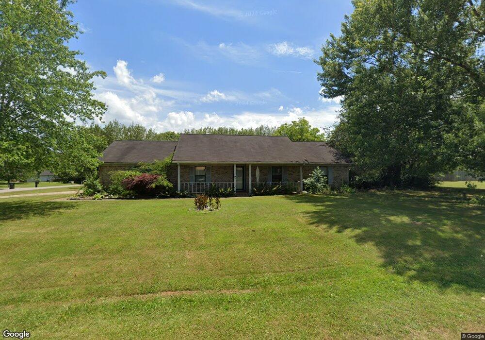
119 Molly Bette Dr Huntsville, AL 35811
Moores Mill NeighborhoodEstimated Value: $121,000 - $298,000
--
Bed
--
Bath
1,504
Sq Ft
$145/Sq Ft
Est. Value
About This Home
This home is located at 119 Molly Bette Dr, Huntsville, AL 35811 and is currently estimated at $217,601, approximately $144 per square foot. 119 Molly Bette Dr is a home with nearby schools including Mt Carmel Elementary School, Riverton Intermediate School, and Buckhorn Middle School.
Ownership History
Date
Name
Owned For
Owner Type
Purchase Details
Closed on
Jun 2, 2025
Sold by
Jones Dorothy
Bought by
Chaney Stephen Lane
Current Estimated Value
Home Financials for this Owner
Home Financials are based on the most recent Mortgage that was taken out on this home.
Original Mortgage
$166,000
Outstanding Balance
$63,020
Interest Rate
5.94%
Mortgage Type
Construction
Estimated Equity
$154,581
Create a Home Valuation Report for This Property
The Home Valuation Report is an in-depth analysis detailing your home's value as well as a comparison with similar homes in the area
Home Values in the Area
Average Home Value in this Area
Purchase History
| Date | Buyer | Sale Price | Title Company |
|---|---|---|---|
| Chaney Stephen Lane | $120,000 | None Listed On Document | |
| Chaney Stephen Lane | $120,000 | None Listed On Document |
Source: Public Records
Mortgage History
| Date | Status | Borrower | Loan Amount |
|---|---|---|---|
| Open | Chaney Stephen Lane | $166,000 | |
| Closed | Chaney Stephen Lane | $166,000 |
Source: Public Records
Tax History Compared to Growth
Tax History
| Year | Tax Paid | Tax Assessment Tax Assessment Total Assessment is a certain percentage of the fair market value that is determined by local assessors to be the total taxable value of land and additions on the property. | Land | Improvement |
|---|---|---|---|---|
| 2024 | $767 | $22,880 | $5,000 | $17,880 |
| 2023 | $772 | $22,420 | $5,000 | $17,420 |
| 2022 | $521 | $15,680 | $1,240 | $14,440 |
| 2021 | $464 | $14,120 | $1,240 | $12,880 |
| 2020 | $410 | $12,660 | $1,240 | $11,420 |
| 2019 | $391 | $12,140 | $1,240 | $10,900 |
| 2018 | $362 | $11,340 | $0 | $0 |
| 2017 | $351 | $11,040 | $0 | $0 |
| 2016 | $351 | $11,040 | $0 | $0 |
| 2015 | $351 | $11,040 | $0 | $0 |
| 2014 | $348 | $10,940 | $0 | $0 |
Source: Public Records
Map
Nearby Homes
- 202 Frances Amelia Dr NE
- 57.4 +/- ACRES Winchester Rd NE
- Lot 2 Winchester Rd NE
- Lot 3 Winchester Rd NE
- 707 Winchester Rd NE
- Winston Pennington Ave
- The Winston Plan at Pennington
- The Bennington Plan at Pennington
- The Cambridge Plan at Pennington
- The Charleston Plan at Pennington
- The Manhattan Plan at Pennington
- The Raleigh Plan at Pennington
- The Savannah Plan at Pennington
- The Lincoln Plan at Pennington
- The Shelburne Plan at Pennington
- Blakley Pennington Ave
- Bennington Pennington Ave
- Shelburne Pennington Ave
- 116 Santa Maria Dr NE
- Charleston Pennington Ave
- 120 Molly Bette Dr
- 117 Molly Bette Dr
- 205 Nina Pearl Dr
- 203 Nina Pearl Dr
- 201 Frances Amelia Dr
- 118 Molly Bette Dr
- 207 Nina Pearl Dr
- 203 Frances Amelia Dr
- 115 Molly Bette Dr
- 197 Frances Amelia Dr
- 116 Molly Bette Dr
- 205 Frances Amelia Dr
- 259 Frances Amelia Dr
- 200 Frances Amelia Dr
- 209 Nina Pearl Dr NE
- 257 Frances Amelia Dr
- 196 Frances Amelia Dr
- 5135 Rustic Trail
- 113 Molly Bette Dr
- 5130 Rustic Trail