119 Moxley Rd Uncasville, CT 06382
Oxoboxo River NeighborhoodEstimated Value: $382,000 - $556,000
3
Beds
3
Baths
1,426
Sq Ft
$327/Sq Ft
Est. Value
About This Home
This home is located at 119 Moxley Rd, Uncasville, CT 06382 and is currently estimated at $466,082, approximately $326 per square foot. 119 Moxley Rd is a home located in New London County with nearby schools including Leonard J. Tyl Middle School, Montville High School, and Bradley School-New London Regional.
Ownership History
Date
Name
Owned For
Owner Type
Purchase Details
Closed on
Nov 30, 2001
Sold by
Lewellen Leonard and Lewellen Diane
Bought by
Rheaume William and Rheaume Krisdee
Current Estimated Value
Home Financials for this Owner
Home Financials are based on the most recent Mortgage that was taken out on this home.
Original Mortgage
$180,000
Interest Rate
6.66%
Purchase Details
Closed on
Mar 29, 1996
Sold by
Maclachlan Donald Est
Bought by
Lewellen Leonard and Lewellen Diane E
Create a Home Valuation Report for This Property
The Home Valuation Report is an in-depth analysis detailing your home's value as well as a comparison with similar homes in the area
Home Values in the Area
Average Home Value in this Area
Purchase History
| Date | Buyer | Sale Price | Title Company |
|---|---|---|---|
| Rheaume William | $189,900 | -- | |
| Rheaume William | $189,900 | -- | |
| Lewellen Leonard | $75,000 | -- | |
| Lewellen Leonard | $75,000 | -- |
Source: Public Records
Mortgage History
| Date | Status | Borrower | Loan Amount |
|---|---|---|---|
| Open | Lewellen Leonard | $177,850 | |
| Closed | Lewellen Leonard | $180,000 |
Source: Public Records
Tax History Compared to Growth
Tax History
| Year | Tax Paid | Tax Assessment Tax Assessment Total Assessment is a certain percentage of the fair market value that is determined by local assessors to be the total taxable value of land and additions on the property. | Land | Improvement |
|---|---|---|---|---|
| 2025 | $8,088 | $280,140 | $76,300 | $203,840 |
| 2024 | $7,779 | $280,140 | $76,300 | $203,840 |
| 2023 | $7,779 | $280,140 | $76,300 | $203,840 |
| 2022 | $7,483 | $280,140 | $76,300 | $203,840 |
| 2021 | $7,445 | $234,480 | $79,290 | $155,190 |
| 2020 | $7,592 | $234,480 | $79,290 | $155,190 |
| 2019 | $7,623 | $234,480 | $79,290 | $155,190 |
| 2018 | $7,440 | $234,480 | $79,290 | $155,190 |
| 2017 | $7,433 | $234,480 | $79,290 | $155,190 |
| 2016 | $8,363 | $273,200 | $121,670 | $151,530 |
| 2015 | $8,363 | $273,200 | $121,670 | $151,530 |
| 2014 | $8,024 | $273,200 | $121,670 | $151,530 |
Source: Public Records
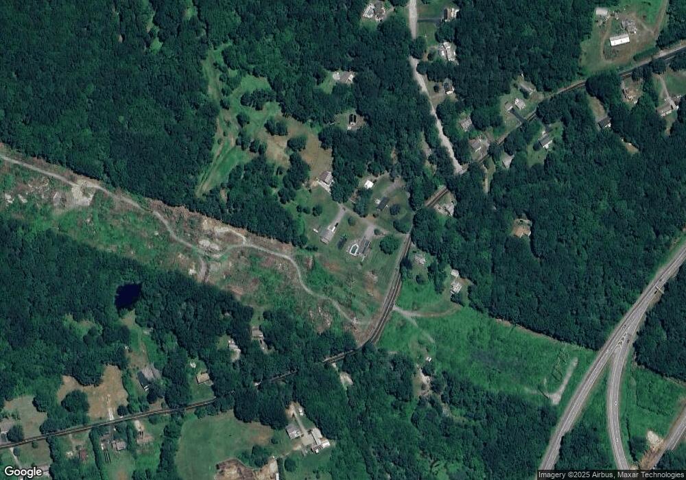
Map
Nearby Homes
- 22 Heather Brook Rd
- 19 Wyndwood Rd
- 10 Marcia Dr
- 5 Mountain Laurel Ridge
- 1 High Ridge Cir
- 57 Roselund Hill Rd
- 60 Hammel Ln
- 197 Norwich-New London Turnpike
- 230 Gay Hill Rd
- 270 Gay Hill Rd
- 245 Norwich New London Turnpike Unit 22
- 0 Monahan Dr
- 36 Depot Rd
- 505 Old Colchester Rd
- 13 Dock Rd
- 320 Maple Ave
- 205 Old Norwich Rd
- 45 Lynch Hill Rd
- 184 Kitemaug Rd
- 9 West Dr