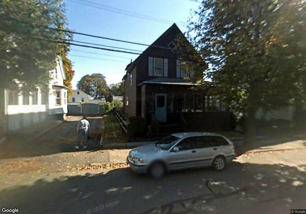
119 Myrtle St Lynn, MA 01905
Lower Boston Street NeighborhoodEstimated Value: $587,606 - $621,000
3
Beds
2
Baths
1,532
Sq Ft
$389/Sq Ft
Est. Value
About This Home
This home is located at 119 Myrtle St, Lynn, MA 01905 and is currently estimated at $596,652, approximately $389 per square foot. 119 Myrtle St is a home located in Essex County with nearby schools including North Park Elementary School, Lincoln-Thomson Elementary School, and William R. Fallon School.
Ownership History
Date
Name
Owned For
Owner Type
Purchase Details
Closed on
Oct 18, 2016
Sold by
Morrill William P and Morrill Mary C
Bought by
Morrill Ft and Morrill
Current Estimated Value
Purchase Details
Closed on
Jan 1, 1965
Bought by
Morrill William P and Morrill Mary C
Create a Home Valuation Report for This Property
The Home Valuation Report is an in-depth analysis detailing your home's value as well as a comparison with similar homes in the area
Home Values in the Area
Average Home Value in this Area
Purchase History
| Date | Buyer | Sale Price | Title Company |
|---|---|---|---|
| Morrill Ft | -- | -- | |
| Morrill Ft | -- | -- | |
| Morrill William P | -- | -- |
Source: Public Records
Mortgage History
| Date | Status | Borrower | Loan Amount |
|---|---|---|---|
| Previous Owner | Morrill William P | $25,000 | |
| Previous Owner | Morrill William P | $50,000 | |
| Previous Owner | Morrill William P | $20,000 | |
| Previous Owner | Morrill William P | $37,700 |
Source: Public Records
Tax History Compared to Growth
Tax History
| Year | Tax Paid | Tax Assessment Tax Assessment Total Assessment is a certain percentage of the fair market value that is determined by local assessors to be the total taxable value of land and additions on the property. | Land | Improvement |
|---|---|---|---|---|
| 2025 | $5,466 | $527,600 | $226,600 | $301,000 |
| 2024 | $5,089 | $483,300 | $199,100 | $284,200 |
| 2023 | $5,063 | $454,100 | $205,600 | $248,500 |
| 2022 | $4,648 | $373,900 | $152,300 | $221,600 |
| 2021 | $4,515 | $346,500 | $140,000 | $206,500 |
| 2020 | $4,352 | $324,800 | $134,800 | $190,000 |
| 2019 | $4,370 | $305,600 | $126,900 | $178,700 |
| 2018 | $4,378 | $289,000 | $140,000 | $149,000 |
| 2017 | $3,964 | $254,100 | $116,400 | $137,700 |
| 2016 | $3,862 | $238,700 | $108,900 | $129,800 |
| 2015 | $3,702 | $221,000 | $108,100 | $112,900 |
Source: Public Records
Map
Nearby Homes
- 92-94 Newton Ave
- 268 Walnut St
- 110 Holyoke St
- 28 Wyman St
- 35 Curran Rd
- 14 Atkinson St
- 32 Birch Brook Rd Unit 27
- 32 Birch Brook Rd Unit 16
- 32 Birch Brook Rd Unit 1
- 32 Birch Brook Rd Unit 25
- 32 Birch Brook Rd Unit 22
- 32 Birch Brook Rd Unit 28
- 100 Ashland St
- 447 Boston St
- 10 Carnes St
- 20 Murray St
- 79 Laurel St
- 27 Bradford Terrace
- 86 Laurel St
- 75 Moulton St
- 115 Myrtle St
- 123 Myrtle St
- 123 Myrtle St Unit 1
- 23 Newton Ave
- 127 Myrtle St
- 111 Myrtle St
- 113 Myrtle St
- 19 Newton Ave
- 31 Newton Ave
- 15 Newton Ave
- 116 Myrtle St
- 131 Myrtle St
- 131 Myrtle St Unit 131
- 120 Myrtle St
- 124 Myrtle St
- 35 Newton Ave
- 11 Newton Ave
- 114 Myrtle St
- 103 Myrtle St
- 26 Holyoke St Unit 28