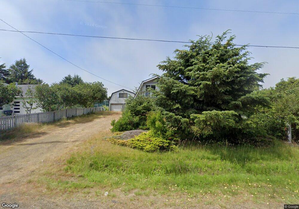
119 N Port Loop NW Ocean Shores, WA 98569
Estimated Value: $329,029 - $430,000
--
Bed
--
Bath
1,660
Sq Ft
$234/Sq Ft
Est. Value
About This Home
This home is located at 119 N Port Loop NW, Ocean Shores, WA 98569 and is currently estimated at $389,257, approximately $234 per square foot. 119 N Port Loop NW is a home located in Grays Harbor County with nearby schools including North Beach Junior/Senior High School.
Ownership History
Date
Name
Owned For
Owner Type
Purchase Details
Closed on
May 22, 2015
Sold by
Atterberry Anthony L
Bought by
Milles Tami A
Current Estimated Value
Home Financials for this Owner
Home Financials are based on the most recent Mortgage that was taken out on this home.
Original Mortgage
$145,796
Outstanding Balance
$113,085
Interest Rate
3.87%
Mortgage Type
FHA
Estimated Equity
$276,172
Purchase Details
Closed on
Nov 17, 2009
Sold by
Milles Christopher D and Milles Cara S
Bought by
Milles Tami A
Home Financials for this Owner
Home Financials are based on the most recent Mortgage that was taken out on this home.
Original Mortgage
$157,102
Interest Rate
4.83%
Mortgage Type
FHA
Create a Home Valuation Report for This Property
The Home Valuation Report is an in-depth analysis detailing your home's value as well as a comparison with similar homes in the area
Home Values in the Area
Average Home Value in this Area
Purchase History
| Date | Buyer | Sale Price | Title Company |
|---|---|---|---|
| Milles Tami A | -- | Grays Harbor Title | |
| Milles Tami A | $160,000 | Grays Harbor Title |
Source: Public Records
Mortgage History
| Date | Status | Borrower | Loan Amount |
|---|---|---|---|
| Open | Milles Tami A | $145,796 | |
| Closed | Milles Tami A | $157,102 |
Source: Public Records
Tax History Compared to Growth
Tax History
| Year | Tax Paid | Tax Assessment Tax Assessment Total Assessment is a certain percentage of the fair market value that is determined by local assessors to be the total taxable value of land and additions on the property. | Land | Improvement |
|---|---|---|---|---|
| 2025 | $2,067 | $326,458 | $45,000 | $281,458 |
| 2023 | $2,087 | $318,047 | $75,000 | $243,047 |
| 2022 | $2,009 | $237,656 | $54,200 | $183,456 |
| 2021 | $2,191 | $237,656 | $54,200 | $183,456 |
| 2020 | $2,054 | $212,150 | $37,375 | $174,775 |
| 2019 | $1,860 | $191,386 | $32,500 | $158,886 |
| 2018 | $1,767 | $168,906 | $25,000 | $143,906 |
| 2017 | $1,617 | $151,637 | $25,000 | $126,637 |
| 2016 | -- | $135,800 | $22,000 | $113,800 |
| 2014 | -- | $132,310 | $12,000 | $120,310 |
| 2013 | -- | $148,050 | $15,000 | $133,050 |
Source: Public Records
Map
Nearby Homes
- 102 N Oar Loop NW
- 146 Ocean Shores Blvd NW
- 165 N Narwhal Loop NW
- 148 N Narwhal Loop NW
- 247 Clover Creek Ave NW
- 172 N Narwhal Loop NW
- 143 Aries Ct SW
- 105 Sand Dune Ave NW
- 212 Point Brown Ave NE
- 122 Sand Dune Ave SW
- 272 Sand Dune Ave NW
- 163 Sand Dune Ave NW
- 285 Mast Ave NW
- 269 Ensign Ave NW
- 304 Ocean Shores Blvd NW
- 195 Ocean Shores Blvd SW
- 199 S Narwhal Loop SW
- 209 S Oar Loop SW
- 189 Sand Dune Ave SW
- 219 S Oar Loop SW
- 129 N Port Loop NW
- 109 N Port Loop NW
- 147 N Port Loop NW
- 116 N Port Loop NW
- 124 N Port Loop NW
- 124 N Port Loop NW
- 140 Ocean Lake Way NW
- 132 N Port Loop NW
- 138 N Port Loop NW
- 142 N Port Loop NW
- 106 N Port Loop NW
- 140 Ocean Lake Way NE
- 152 Ocean Lake Way NE
- 100 N Port Loop NW
- 146 N Port Loop NW
- 115 N Oar Loop NW
- 111 N Oar Loop NW
- 155 N Port Loop NW
- 135 N Oar Loop NW
- 105 N Oar Loop NW