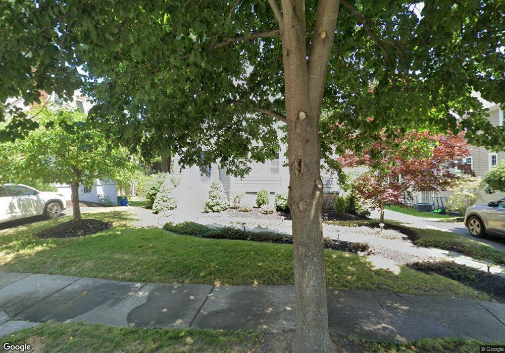
119 Oakdale Rd Newton Highlands, MA 02461
Newton Highlands NeighborhoodEstimated Value: $1,054,000 - $1,269,131
3
Beds
2
Baths
1,708
Sq Ft
$684/Sq Ft
Est. Value
About This Home
This home is located at 119 Oakdale Rd, Newton Highlands, MA 02461 and is currently estimated at $1,168,783, approximately $684 per square foot. 119 Oakdale Rd is a home located in Middlesex County with nearby schools including Countryside Elementary School, Charles E Brown Middle School, and Newton South High School.
Ownership History
Date
Name
Owned For
Owner Type
Purchase Details
Closed on
Jan 21, 2022
Sold by
Ansorge-Ball Laurie
Bought by
Laurie Ansorge Ball Ret
Current Estimated Value
Purchase Details
Closed on
Nov 12, 2004
Sold by
Ball Laurie Ansorge and Ball Raymond G
Bought by
Ball Laurie Ansorge
Purchase Details
Closed on
Sep 13, 1991
Sold by
Grossman T Leonard and Grossman Leonard
Bought by
Ball Raymond G
Create a Home Valuation Report for This Property
The Home Valuation Report is an in-depth analysis detailing your home's value as well as a comparison with similar homes in the area
Home Values in the Area
Average Home Value in this Area
Purchase History
| Date | Buyer | Sale Price | Title Company |
|---|---|---|---|
| Laurie Ansorge Ball Ret | -- | None Available | |
| Ball Laurie Ansorge | -- | -- | |
| Ball Raymond G | $205,000 | -- |
Source: Public Records
Mortgage History
| Date | Status | Borrower | Loan Amount |
|---|---|---|---|
| Previous Owner | Ball Raymond G | $134,000 | |
| Previous Owner | Ball Raymond G | $7,500 |
Source: Public Records
Tax History Compared to Growth
Tax History
| Year | Tax Paid | Tax Assessment Tax Assessment Total Assessment is a certain percentage of the fair market value that is determined by local assessors to be the total taxable value of land and additions on the property. | Land | Improvement |
|---|---|---|---|---|
| 2025 | $9,022 | $920,600 | $848,300 | $72,300 |
| 2024 | $8,723 | $893,800 | $823,600 | $70,200 |
| 2023 | $8,277 | $813,100 | $622,300 | $190,800 |
| 2022 | $7,921 | $752,900 | $576,200 | $176,700 |
| 2021 | $7,643 | $710,300 | $543,600 | $166,700 |
| 2020 | $7,416 | $710,300 | $543,600 | $166,700 |
| 2019 | $7,206 | $689,600 | $527,800 | $161,800 |
| 2018 | $6,856 | $633,600 | $478,300 | $155,300 |
| 2017 | $6,646 | $597,700 | $451,200 | $146,500 |
| 2016 | $6,357 | $558,600 | $421,700 | $136,900 |
| 2015 | $6,062 | $522,100 | $394,100 | $128,000 |
Source: Public Records
Map
Nearby Homes
- 125 Oakdale Rd
- 1308 Walnut St
- 1292 Walnut St
- 671 Boylston St
- 628 Boylston St
- 42 Sunhill Ln
- 625 Boylston St
- 19 Selwyn Rd
- 1597 Centre St Unit 1597
- 1597 Centre St
- 1623-1625 Centre St
- 1629 Centre St
- 250 Woodcliff Rd
- 21 Philbrick Rd
- 5 Halcyon Rd
- 1151 Walnut St Unit 205
- 1151 Walnut St Unit 405
- 1151 Walnut St Unit 207
- 36 Cannon St
- 116 Upland Ave
- 115 Oakdale Rd
- 115 Oakdale Rd Unit 115
- 111 Oakdale Rd
- 129 Oakdale Rd
- 129 Oakdale Rd Unit 129
- 730 Boylston St
- 730 Boylston St Unit 730
- 720 Boylston St
- 122 Oakdale Rd
- 118 Oakdale Rd
- 734 Boylston St
- 126 Oakdale Rd
- 105 Oakdale Rd
- 133 Oakdale Rd
- 738 Boylston St
- 712 Boylston St
- 130 Oakdale Rd
- 108 Oakdale Rd
- 139 Oakdale Rd
- 139 Oakdale Rd Unit 4