119 Peterson Rd Unit B Chehalis, WA 98532
Estimated Value: $425,000 - $899,000
3
Beds
2
Baths
2,016
Sq Ft
$287/Sq Ft
Est. Value
About This Home
This home is located at 119 Peterson Rd Unit B, Chehalis, WA 98532 and is currently estimated at $577,946, approximately $286 per square foot. 119 Peterson Rd Unit B is a home located in Lewis County with nearby schools including James W. Lintott Elementary School, R E Bennett Elementary School, and Orin C. Smith Elementary School.
Ownership History
Date
Name
Owned For
Owner Type
Purchase Details
Closed on
Jan 30, 2006
Sold by
Jolliff David B and Jolliff Cheryl A
Bought by
Whaley Scott C and Whaley Lynda M
Current Estimated Value
Home Financials for this Owner
Home Financials are based on the most recent Mortgage that was taken out on this home.
Original Mortgage
$238,049
Outstanding Balance
$141,351
Interest Rate
7.14%
Mortgage Type
Adjustable Rate Mortgage/ARM
Estimated Equity
$436,595
Create a Home Valuation Report for This Property
The Home Valuation Report is an in-depth analysis detailing your home's value as well as a comparison with similar homes in the area
Home Values in the Area
Average Home Value in this Area
Purchase History
| Date | Buyer | Sale Price | Title Company |
|---|---|---|---|
| Whaley Scott C | $2,557,697 | Title Guaranty |
Source: Public Records
Mortgage History
| Date | Status | Borrower | Loan Amount |
|---|---|---|---|
| Open | Whaley Scott C | $238,049 |
Source: Public Records
Tax History Compared to Growth
Tax History
| Year | Tax Paid | Tax Assessment Tax Assessment Total Assessment is a certain percentage of the fair market value that is determined by local assessors to be the total taxable value of land and additions on the property. | Land | Improvement |
|---|---|---|---|---|
| 2024 | $3,508 | $420,900 | $122,900 | $298,000 |
| 2023 | $3,829 | $427,500 | $55,200 | $372,300 |
| 2022 | $3,684 | $370,800 | $44,000 | $326,800 |
| 2021 | $3,352 | $370,800 | $44,000 | $326,800 |
| 2020 | $3,085 | $306,000 | $42,000 | $264,000 |
| 2019 | $2,412 | $262,300 | $42,000 | $220,300 |
| 2018 | $2,428 | $221,100 | $35,000 | $186,100 |
| 2017 | $2,390 | $198,100 | $35,000 | $163,100 |
| 2016 | $2,342 | $188,900 | $24,000 | $164,900 |
| 2015 | $1,984 | $185,400 | $20,500 | $164,900 |
| 2013 | $1,984 | $184,950 | $20,450 | $164,500 |
Source: Public Records
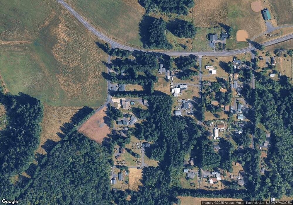
Map
Nearby Homes
- 152 Hwy 603
- 667 Highway 603
- 942 Shorey Rd
- 379 Twin Oaks Rd
- 126 Riverview Dr
- 0 Brockway Rd Unit NWM2373688
- 114 Beckett Ln
- 2094 Rice Rd
- 111 Beckett Ln
- 128 Beckett Ln
- 121 Beckett Ln
- 0 SW Hillburger Rd
- 516 SW Riverside Dr
- 133 Beckett Ln
- 597 Brown Rd E
- 607 Brown Rd E
- 3898 Washington 6
- 1520 Rice Rd
- 0 Valley Ridge Rd Unit NWM2335090
- 1477 State Route 6
- 119 Peterson Rd
- 119 Peterson Rd Unit 13
- 119 Peterson Rd Unit A
- 119 Peterson Rd Unit 7
- 113 Peterson Rd
- 107 Peterson Rd
- 106 Reese Ln
- 112 Reese Ln
- 112 Reese Ln Unit A-C
- 103 Peterson Rd
- 124 Reese Ln
- 149 Peterson Rd
- 426 Highway 603 Unit 3
- 122 Nix Rd
- 110 Nix Rd
- 106 Nix Rd
- 140 Nix Rd
- 435 Highway 603
- 146 Nix Rd
- 150 Nix Rd