119 Poineer Farm Way Ellsworth, ME 04605
Estimated Value: $583,000 - $740,000
4
Beds
3
Baths
3,236
Sq Ft
$199/Sq Ft
Est. Value
About This Home
This home is located at 119 Poineer Farm Way, Ellsworth, ME 04605 and is currently estimated at $643,096, approximately $198 per square foot. 119 Poineer Farm Way is a home located in Hancock County with nearby schools including Sumner Memorial High School and Acadia Christian School.
Ownership History
Date
Name
Owned For
Owner Type
Purchase Details
Closed on
May 28, 2020
Sold by
Hutton Marilyn B
Bought by
Clifford Daniel J and Clifford April M
Current Estimated Value
Home Financials for this Owner
Home Financials are based on the most recent Mortgage that was taken out on this home.
Original Mortgage
$288,000
Outstanding Balance
$257,391
Interest Rate
3.88%
Mortgage Type
New Conventional
Estimated Equity
$385,705
Purchase Details
Closed on
Nov 30, 2018
Sold by
Neff Nancy P
Bought by
Hutton Marilyn B
Home Financials for this Owner
Home Financials are based on the most recent Mortgage that was taken out on this home.
Original Mortgage
$205,000
Interest Rate
4.8%
Mortgage Type
Unknown
Create a Home Valuation Report for This Property
The Home Valuation Report is an in-depth analysis detailing your home's value as well as a comparison with similar homes in the area
Home Values in the Area
Average Home Value in this Area
Purchase History
| Date | Buyer | Sale Price | Title Company |
|---|---|---|---|
| Clifford Daniel J | -- | None Available | |
| Clifford Daniel J | -- | None Available | |
| Clifford Daniel J | -- | None Available | |
| Hutton Marilyn B | -- | -- | |
| Hutton Marilyn B | -- | -- | |
| Hutton Marilyn B | -- | -- |
Source: Public Records
Mortgage History
| Date | Status | Borrower | Loan Amount |
|---|---|---|---|
| Open | Clifford Daniel J | $288,000 | |
| Closed | Clifford Daniel J | $288,000 | |
| Previous Owner | Hutton Marilyn B | $205,000 | |
| Previous Owner | Hutton Marilyn B | $221,000 |
Source: Public Records
Tax History Compared to Growth
Tax History
| Year | Tax Paid | Tax Assessment Tax Assessment Total Assessment is a certain percentage of the fair market value that is determined by local assessors to be the total taxable value of land and additions on the property. | Land | Improvement |
|---|---|---|---|---|
| 2024 | $8,415 | $482,250 | $129,125 | $353,125 |
| 2023 | $7,588 | $438,600 | $123,960 | $314,640 |
| 2022 | $6,886 | $438,600 | $123,960 | $314,640 |
| 2021 | $6,188 | $343,200 | $103,300 | $239,900 |
| 2020 | $6,410 | $341,500 | $103,300 | $238,200 |
| 2019 | $6,424 | $341,500 | $103,300 | $238,200 |
| 2018 | $6,229 | $341,500 | $103,300 | $238,200 |
| 2017 | $6,097 | $339,300 | $103,300 | $236,000 |
| 2016 | $5,932 | $335,500 | $99,500 | $236,000 |
| 2015 | $6,466 | $365,300 | $99,500 | $265,800 |
| 2014 | $6,009 | $365,300 | $99,500 | $265,800 |
| 2012 | $5,644 | $365,300 | $99,500 | $265,800 |
Source: Public Records
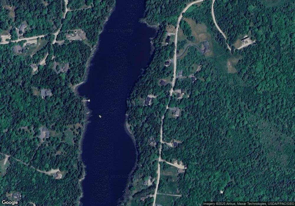
Map
Nearby Homes
- 052 Pioneer Farm Way
- 152 Spindle Rd
- 467 Bayside Rd
- 200 Surry Rd
- 00 Beechland Rd
- 12 Windsor Way
- 42 Tinker Meadow Way Unit 38
- 41 Tinker Meadow Way Unit 17
- 44 Tinker Meadow Way Unit 40
- 43 Tinker Meadow Way Unit 19
- 135 Surry Rd Unit 1 & 2
- 561 Bayside Rd
- 32 Alton Ave
- 456 Water St
- 14 Westwood Dr
- 12 Blue Heron Way Unit 12
- 318 High St
- 58 Washington St
- 58 Laurel St
- 23 South St
- 119 Pioneer Farm Way
- 117 Pioneer Farm Way
- 131 Pioneer Farm Way
- 128 Pioneer Farm Way
- 122 Pioneer Farm Way
- 111 Pioneer Farm Way
- 139 Pioneer Farm Way
- 0 Pioneer Farm Way
- 116 Pioneer Farm Way
- 136 Pioneer Farm Way
- 136 Pioneer Way
- 103 Pioneer Farm Way
- 149 Pioneer Farm Way
- 154 Pioneer Farm Way
- 110 Pioneer Farm Way
- 157 Pioneer Farm Way
- 55 Aquarius Ln
- 57 Aquarius Ln
- 00 Aquarius Ln
- 165 Pioneer Farm Way