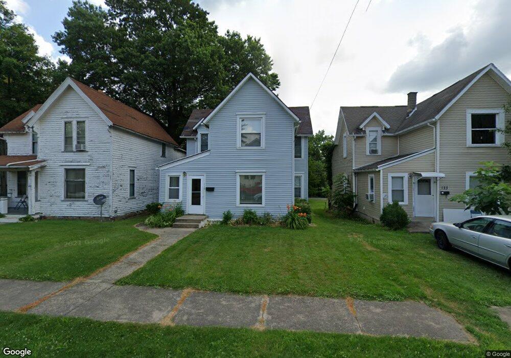
119 Poplar St Mansfield, OH 44903
Estimated Value: $79,000 - $107,018
3
Beds
1
Bath
1,584
Sq Ft
$58/Sq Ft
Est. Value
About This Home
This home is located at 119 Poplar St, Mansfield, OH 44903 and is currently estimated at $91,755, approximately $57 per square foot. 119 Poplar St is a home located in Richland County with nearby schools including Goal Digital Academy, St. Peter's High School/Junior High, and St. Peter's Elementary/Montessori School.
Ownership History
Date
Name
Owned For
Owner Type
Purchase Details
Closed on
Jun 18, 2020
Sold by
Queen Tina Marie
Bought by
Fulk Angela M
Current Estimated Value
Purchase Details
Closed on
Aug 16, 2019
Sold by
Stewart Terry L and Miller Terry L
Bought by
Queen Marie
Purchase Details
Closed on
Mar 11, 2004
Sold by
Eyerly Penny
Bought by
Miller Megan M
Home Financials for this Owner
Home Financials are based on the most recent Mortgage that was taken out on this home.
Original Mortgage
$42,680
Interest Rate
5.77%
Mortgage Type
Purchase Money Mortgage
Purchase Details
Closed on
May 1, 1985
Create a Home Valuation Report for This Property
The Home Valuation Report is an in-depth analysis detailing your home's value as well as a comparison with similar homes in the area
Home Values in the Area
Average Home Value in this Area
Purchase History
| Date | Buyer | Sale Price | Title Company |
|---|---|---|---|
| Fulk Angela M | -- | None Available | |
| Queen Marie | $40,900 | Barristers Title Group | |
| Miller Megan M | $44,000 | Chicago Title | |
| -- | $7,000 | -- |
Source: Public Records
Mortgage History
| Date | Status | Borrower | Loan Amount |
|---|---|---|---|
| Previous Owner | Miller Megan M | $42,680 |
Source: Public Records
Tax History Compared to Growth
Tax History
| Year | Tax Paid | Tax Assessment Tax Assessment Total Assessment is a certain percentage of the fair market value that is determined by local assessors to be the total taxable value of land and additions on the property. | Land | Improvement |
|---|---|---|---|---|
| 2024 | $981 | $19,960 | $3,070 | $16,890 |
| 2023 | $935 | $19,960 | $3,070 | $16,890 |
| 2022 | $780 | $13,960 | $2,520 | $11,440 |
| 2021 | $785 | $13,960 | $2,520 | $11,440 |
| 2020 | $803 | $13,960 | $2,520 | $11,440 |
| 2019 | $890 | $13,960 | $2,520 | $11,440 |
| 2018 | $878 | $13,960 | $2,520 | $11,440 |
| 2017 | $854 | $13,960 | $2,520 | $11,440 |
| 2016 | $1,083 | $17,160 | $2,660 | $14,500 |
| 2015 | $1,083 | $17,160 | $2,660 | $14,500 |
| 2014 | $1,021 | $17,160 | $2,660 | $14,500 |
| 2012 | $410 | $18,070 | $2,800 | $15,270 |
Source: Public Records
Map
Nearby Homes
- 114 Vennum Ave
- 118 Lind Ave
- 76 Bartley Ave
- 37 Baldwin Ave
- 450 Glessner Ave
- 38 Baldwin Ave
- 88 Sherman Ave
- 126 Dawson Ave
- 135 Wood St
- 71 Glenwood Blvd
- 24 Stewart Ave S
- 470 Woodward Ave
- 257 Wood St
- 21 Glenwood Blvd
- 80 Rowland Ave
- 131 Sturges Ave
- 406 Sherman Place
- 611 Park Ave W
- 41 Parkwood Blvd
- 118 Parkwood Blvd