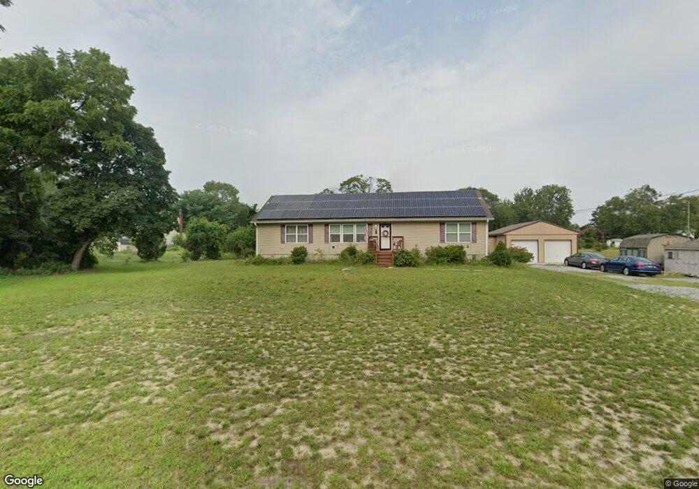
119 Railroad Ave Dorchester, NJ 08316
Maurice River NeighborhoodEstimated Value: $202,000 - $424,000
--
Bed
--
Bath
1,680
Sq Ft
$173/Sq Ft
Est. Value
About This Home
This home is located at 119 Railroad Ave, Dorchester, NJ 08316 and is currently estimated at $290,340, approximately $172 per square foot. 119 Railroad Ave is a home with nearby schools including Maurice River Township Elementary School.
Ownership History
Date
Name
Owned For
Owner Type
Purchase Details
Closed on
Jun 14, 2013
Sold by
Arnone Paul and Arnone Angela
Bought by
Arnone Angela
Current Estimated Value
Purchase Details
Closed on
Aug 16, 2007
Sold by
Riggins Michael T and Riggins Star E
Bought by
Beggs Maryanne C
Purchase Details
Closed on
Feb 15, 2007
Sold by
Beggs Maryanne C
Bought by
Riggins Michael T and Riggins Star E
Create a Home Valuation Report for This Property
The Home Valuation Report is an in-depth analysis detailing your home's value as well as a comparison with similar homes in the area
Home Values in the Area
Average Home Value in this Area
Purchase History
| Date | Buyer | Sale Price | Title Company |
|---|---|---|---|
| Arnone Angela | -- | -- | |
| Beggs Maryanne C | $35,000 | -- | |
| Riggins Michael T | $35,000 | -- |
Source: Public Records
Tax History Compared to Growth
Tax History
| Year | Tax Paid | Tax Assessment Tax Assessment Total Assessment is a certain percentage of the fair market value that is determined by local assessors to be the total taxable value of land and additions on the property. | Land | Improvement |
|---|---|---|---|---|
| 2025 | $6,763 | $233,700 | $41,800 | $191,900 |
| 2024 | $6,763 | $233,700 | $41,800 | $191,900 |
| 2023 | $6,864 | $233,700 | $41,800 | $191,900 |
| 2022 | $6,887 | $233,700 | $41,800 | $191,900 |
| 2021 | $6,747 | $233,700 | $41,800 | $191,900 |
| 2020 | $6,754 | $233,700 | $41,800 | $191,900 |
| 2019 | $6,600 | $233,700 | $41,800 | $191,900 |
| 2018 | $6,443 | $233,700 | $41,800 | $191,900 |
| 2017 | $6,403 | $233,700 | $41,800 | $191,900 |
| 2016 | $6,233 | $233,700 | $41,800 | $191,900 |
| 2015 | $5,679 | $214,800 | $41,800 | $173,000 |
| 2014 | $5,574 | $214,800 | $41,800 | $173,000 |
Source: Public Records
Map
Nearby Homes
- 414 Main St
- 423 Main St
- 444 Main St
- 196 Carlisle Place Rd
- 619 Main St
- 14 Ward Ave
- 0 Route 47 Unit NJCB2025104
- 623 Main St
- 643 Main St
- 1224 Front St
- 1223 Front St
- 9516 Highland St
- 9087 Highland St
- 2029 E Buckshutem Rd
- 0 Route 47
- 126 Newell Rd
- 0 Route 347 and Carlisle Place Rd Unit NJCB2027664
- 96 Main St
- 1880 E Buckshutem Rd
- 1600 North Ave
- 120 Railroad Ave
- 120 Railroad Ave
- 14 Meadow St
- 12 Meadow St
- 11 Meadow St
- 111 Railroad Ave
- 428 Main St
- 422 Main St
- 432 Main St
- 265 Carlisle Place Rd
- 426 Main St
- 263 Carlisle Place Rd
- 418 Main St
- 438 Main St
- 267 Carlisle Place Rd
- 444 Main St
- 271 Carlisle Place Rd
- 423 Main St
- 431 435 Main St
- 258 Carlisle Place Rd