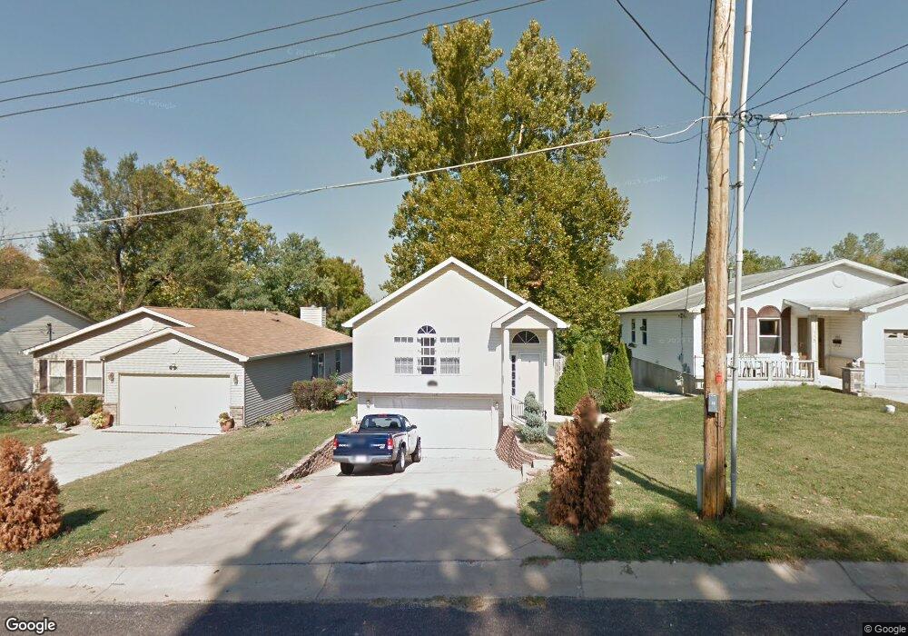
119 Reasnor Ave Saint Louis, MO 63119
Estimated Value: $284,000 - $360,000
2
Beds
2
Baths
1,774
Sq Ft
$183/Sq Ft
Est. Value
About This Home
This home is located at 119 Reasnor Ave, Saint Louis, MO 63119 and is currently estimated at $325,177, approximately $183 per square foot. 119 Reasnor Ave is a home located in St. Louis County with nearby schools including Bristol Elementary School, Hixson Middle School, and Webster Groves High School.
Ownership History
Date
Name
Owned For
Owner Type
Purchase Details
Closed on
Feb 1, 2021
Sold by
Hayes Arthur G
Bought by
Hayes Arthur G and Hayes Tammy M
Current Estimated Value
Home Financials for this Owner
Home Financials are based on the most recent Mortgage that was taken out on this home.
Original Mortgage
$129,400
Interest Rate
2.9%
Mortgage Type
New Conventional
Purchase Details
Closed on
Jul 15, 2003
Sold by
Vehlewald Development Inc
Bought by
Hayes Arthur G and Hayes Rosie Mae
Home Financials for this Owner
Home Financials are based on the most recent Mortgage that was taken out on this home.
Original Mortgage
$123,200
Interest Rate
5.19%
Mortgage Type
Purchase Money Mortgage
Create a Home Valuation Report for This Property
The Home Valuation Report is an in-depth analysis detailing your home's value as well as a comparison with similar homes in the area
Home Values in the Area
Average Home Value in this Area
Purchase History
| Date | Buyer | Sale Price | Title Company |
|---|---|---|---|
| Hayes Arthur G | -- | None Available | |
| Hayes Arthur G | -- | None Listed On Document | |
| Hayes Arthur G | $154,000 | -- |
Source: Public Records
Mortgage History
| Date | Status | Borrower | Loan Amount |
|---|---|---|---|
| Previous Owner | Hayes Arthur G | $129,400 | |
| Previous Owner | Hayes Arthur G | $123,200 |
Source: Public Records
Tax History Compared to Growth
Tax History
| Year | Tax Paid | Tax Assessment Tax Assessment Total Assessment is a certain percentage of the fair market value that is determined by local assessors to be the total taxable value of land and additions on the property. | Land | Improvement |
|---|---|---|---|---|
| 2025 | $3,388 | $64,010 | $20,100 | $43,910 |
| 2024 | $3,388 | $48,420 | $15,090 | $33,330 |
| 2023 | $3,371 | $48,420 | $15,090 | $33,330 |
| 2022 | $3,195 | $42,580 | $12,560 | $30,020 |
| 2021 | $3,184 | $42,580 | $12,560 | $30,020 |
| 2020 | $3,172 | $39,520 | $10,050 | $29,470 |
| 2019 | $3,149 | $39,520 | $10,050 | $29,470 |
| 2018 | $3,239 | $36,120 | $6,880 | $29,240 |
| 2017 | $3,218 | $36,120 | $6,880 | $29,240 |
| 2016 | $2,587 | $27,740 | $5,930 | $21,810 |
| 2015 | $2,593 | $27,740 | $5,930 | $21,810 |
| 2014 | $2,436 | $25,350 | $7,490 | $17,860 |
Source: Public Records
Map
Nearby Homes
- 1013 Bell Ave
- 901 Ennis Ave
- 2935 Greentop Ct
- 827 Cornell Ave
- 2918 Wingate Ct
- 814 Holland Ave
- 617 N Elm Ave
- 9239 Merritt Ave
- 330 Lithia Ave
- 8908 W Pendleton Ave
- 2904 Collier Ave
- 546 Holland Ave
- 218 Euclid Ave
- 1106 N Rock Hill Rd
- 2911 Brazeau Ave
- 2905 Brazeau Ave
- 2642 McKnight Crossing Ct
- 2829 Brazeau Ave
- 1242 Charlane Ct
- 2517 Bremerton Rd
- 121 Reasnor Ave
- 115 Reasnor Ave
- 123 Reasnor Ave
- 109 Reasnor Ave
- 125 Reasnor Ave
- 105 Reasnor Ave
- 131 Ernest Ave
- 120 Reasnor Ave
- 116 Reasnor Ave
- 124 Reasnor Ave
- 108 Reasnor Ave
- 1010 Ennis Ave
- 103 Reasnor Ave
- 106 Reasnor Ave
- 104 Reasnor Ave
- 97 Reasnor Ave
- 102 Reasnor Ave
- 1009 Ennis Ave
- 131 Almentor Ave